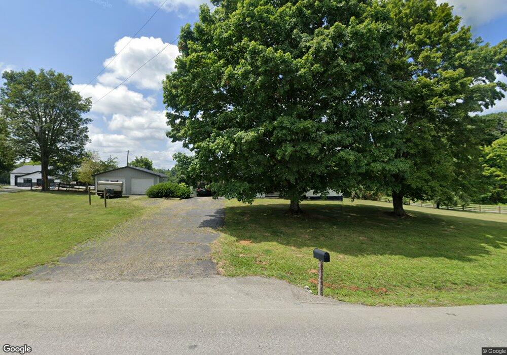
1833 Wheat Ridge Rd West Union, OH 45693
Estimated Value: $134,000 - $249,000
3
Beds
1
Bath
1,120
Sq Ft
$152/Sq Ft
Est. Value
About This Home
This home is located at 1833 Wheat Ridge Rd, West Union, OH 45693 and is currently estimated at $170,575, approximately $152 per square foot. 1833 Wheat Ridge Rd is a home located in Adams County with nearby schools including North Adams Elementary School and North Adams High School.
Ownership History
Date
Name
Owned For
Owner Type
Purchase Details
Closed on
Apr 19, 2011
Sold by
Shope Mary Jayne and Adams Christina Michelle
Bought by
Snow Leslie O
Current Estimated Value
Home Financials for this Owner
Home Financials are based on the most recent Mortgage that was taken out on this home.
Original Mortgage
$58,500
Outstanding Balance
$3,139
Interest Rate
4.77%
Mortgage Type
New Conventional
Estimated Equity
$167,436
Purchase Details
Closed on
Mar 1, 1977
Bought by
Adams William J
Create a Home Valuation Report for This Property
The Home Valuation Report is an in-depth analysis detailing your home's value as well as a comparison with similar homes in the area
Home Values in the Area
Average Home Value in this Area
Purchase History
| Date | Buyer | Sale Price | Title Company |
|---|---|---|---|
| Snow Leslie O | $80,000 | None Available | |
| Adams William J | $35,000 | -- |
Source: Public Records
Mortgage History
| Date | Status | Borrower | Loan Amount |
|---|---|---|---|
| Open | Snow Leslie O | $58,500 |
Source: Public Records
Tax History Compared to Growth
Tax History
| Year | Tax Paid | Tax Assessment Tax Assessment Total Assessment is a certain percentage of the fair market value that is determined by local assessors to be the total taxable value of land and additions on the property. | Land | Improvement |
|---|---|---|---|---|
| 2024 | $611 | $30,880 | $3,820 | $27,060 |
| 2023 | $585 | $30,880 | $3,820 | $27,060 |
| 2022 | $1,162 | $27,580 | $2,800 | $24,780 |
| 2021 | $1,128 | $27,580 | $2,800 | $24,780 |
| 2020 | $1,151 | $27,580 | $2,800 | $24,780 |
| 2019 | $1,096 | $27,580 | $2,800 | $24,780 |
| 2018 | $917 | $23,450 | $2,800 | $20,650 |
| 2017 | $891 | $23,450 | $2,800 | $20,650 |
| 2016 | $445 | $23,450 | $2,800 | $20,650 |
| 2015 | $825 | $22,470 | $2,520 | $19,950 |
| 2014 | $826 | $22,470 | $2,520 | $19,950 |
Source: Public Records
Map
Nearby Homes
- 210 Walt Alsgood Rd
- 19004 State Route 41
- 0 Paradise Valley Rd Unit 1852764
- 668 Fawcett Rd
- 363 Crystal Rd
- 2157 Tater Ridge Rd
- 4016 Unity Rd
- 3551 Unity Rd
- 4603 Wheat Ridge Rd
- 0 Lawshe Rd Unit 1854673
- 3460 Logans Ln
- 292 Larry Baynum Rd
- 831 Tom Brown Rd
- LOT 4 Jacksonville Rd
- LOT 2 Jacksonville Rd
- 23837 State Route 41
- 1425 Jacksonville Rd
- 1286 Steam Furnace Rd
- 125 Robinette Rd
- 13465 State Route 41
- 1795 Wheat Ridge Rd
- 1810 Wheat Ridge Rd
- 1999 Wheat Ridge Rd
- 64 Murphin Ridge Rd
- 150 Murphin Ridge Rd
- 2000 Wheat Ridge Rd
- 1590 Wheat Ridge Rd
- 1699 Wheat Ridge Rd
- 1500 Wheat Ridge Rd
- 1550 Wheat Ridge Rd
- 1647 Freeland Hollow Rd
- 2160 Wheat Ridge Rd
- 2249 Wheat Ridge Rd
- 1425 Wheat Ridge Rd
- 1493 Wheat Ridge Rd
- 1702 Freeland Hollow Rd
- 1423 Wheat Ridge Rd
- 1366 Wheat Ridge Rd
- 1735 Freeland Hollow Rd
- 1269 Wheat Ridge Rd