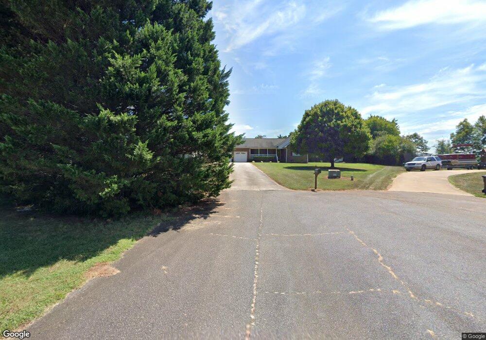
1834 Appalachian Ct Lincolnton, NC 28092
Estimated Value: $286,000 - $358,000
3
Beds
2
Baths
1,565
Sq Ft
$211/Sq Ft
Est. Value
About This Home
This home is located at 1834 Appalachian Ct, Lincolnton, NC 28092 and is currently estimated at $330,793, approximately $211 per square foot. 1834 Appalachian Ct is a home located in Lincoln County with nearby schools including Norris S. Childers Elementary School, West Lincoln Middle, and West Lincoln High School.
Ownership History
Date
Name
Owned For
Owner Type
Purchase Details
Closed on
Aug 10, 2004
Bought by
Adkins Christopher and Adkins Rebecca L
Current Estimated Value
Purchase Details
Closed on
Mar 17, 1995
Bought by
Clar Aaron Clay
Purchase Details
Closed on
Mar 29, 1994
Bought by
Hance Michael Dale
Create a Home Valuation Report for This Property
The Home Valuation Report is an in-depth analysis detailing your home's value as well as a comparison with similar homes in the area
Home Values in the Area
Average Home Value in this Area
Purchase History
| Date | Buyer | Sale Price | Title Company |
|---|---|---|---|
| Adkins Christopher | $139,900 | -- | |
| Clar Aaron Clay | $10,500 | -- | |
| Hance Michael Dale | $9,500 | -- |
Source: Public Records
Tax History Compared to Growth
Tax History
| Year | Tax Paid | Tax Assessment Tax Assessment Total Assessment is a certain percentage of the fair market value that is determined by local assessors to be the total taxable value of land and additions on the property. | Land | Improvement |
|---|---|---|---|---|
| 2025 | $2,117 | $316,754 | $35,468 | $281,286 |
| 2024 | $2,097 | $316,754 | $35,468 | $281,286 |
| 2023 | $2,092 | $316,754 | $35,468 | $281,286 |
| 2022 | $1,497 | $185,767 | $24,658 | $161,109 |
| 2021 | $1,497 | $185,767 | $24,658 | $161,109 |
| 2020 | $1,345 | $185,767 | $24,658 | $161,109 |
| 2019 | $1,345 | $185,767 | $24,658 | $161,109 |
| 2018 | $1,216 | $151,463 | $21,692 | $129,771 |
| 2017 | $1,115 | $151,463 | $21,692 | $129,771 |
| 2016 | $1,062 | $151,463 | $21,692 | $129,771 |
| 2015 | $1,127 | $151,463 | $21,692 | $129,771 |
| 2014 | $1,158 | $159,760 | $21,692 | $138,068 |
Source: Public Records
Map
Nearby Homes
- 2064 Colorado Ct
- 2614 Reepsville Rd
- 1712 Cline Farm Rd
- 2238 Mintew Cir
- 2156 River Rd
- 1939 River Rd
- 2508 Rock Dam Rd
- 3817 Spike Ln
- 000 Flag Ln Unit 53
- 0 Hillard Ln
- 1643 Flag Ln
- 1865 Rockdam Creek Ct
- 00 Pleasant Grove Church Rd
- #168 Rolling Rd
- 146 Gallup Ln
- 1983 Seagletown Rd
- 000 Better Brook Ln
- 2748 Eagle Dr
- 1231 Better Brook Ln
- 536 Lincolnview Rd
- 1835 Appalachian Ct
- 2685 Gold Rush Dr
- 2667 Gold Rush Dr
- 1845 Tennessee Ct
- 1855 Tennessee Ct
- 1835 Tennessee Ct
- 2655 Gold Rush Dr
- 2647 Gold Rush Dr
- 1836 Tennessee Ct
- 2733 Gold Rush Dr
- 2725 Gold Rush Dr
- 2676 Gold Rush Dr
- 2686 Gold Rush Dr
- 1844 Tennessee Ct
- 2633 Gold Rush Dr
- 1854 Tennessee Ct
- 2718 Gold Rush Dr
- 2081 Oklahoma Ct
- 2741 Gold Rush Dr
- 2623 Gold Rush Dr