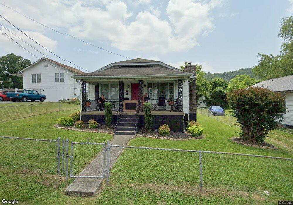
1834 Broad St Bristol, TN 37620
Estimated Value: $150,120 - $166,000
2
Beds
1
Bath
832
Sq Ft
$192/Sq Ft
Est. Value
About This Home
This home is located at 1834 Broad St, Bristol, TN 37620 and is currently estimated at $159,530, approximately $191 per square foot. 1834 Broad St is a home located in Sullivan County with nearby schools including Anderson Elementary School, Vance Middle School, and Tennessee High School.
Ownership History
Date
Name
Owned For
Owner Type
Purchase Details
Closed on
Nov 28, 2017
Sold by
Priester Katherine
Bought by
Big Inc
Current Estimated Value
Purchase Details
Closed on
Oct 3, 2014
Sold by
Shaver Teresa I
Bought by
Hip Loans I Llc
Purchase Details
Closed on
Mar 31, 2006
Sold by
Chapman Mack W
Bought by
Shaver Teresa I
Home Financials for this Owner
Home Financials are based on the most recent Mortgage that was taken out on this home.
Original Mortgage
$64,710
Interest Rate
6.2%
Purchase Details
Closed on
Jun 12, 2003
Sold by
Chapman Vivian Y
Bought by
Chapman Mack W
Purchase Details
Closed on
Apr 30, 1996
Sold by
Vance Douglas K and Vance Nancy
Bought by
Mark Chapman
Create a Home Valuation Report for This Property
The Home Valuation Report is an in-depth analysis detailing your home's value as well as a comparison with similar homes in the area
Home Values in the Area
Average Home Value in this Area
Purchase History
| Date | Buyer | Sale Price | Title Company |
|---|---|---|---|
| Big Inc | $6,000 | None Available | |
| Hip Loans I Llc | $38,000 | -- | |
| Shaver Teresa I | $71,900 | -- | |
| Chapman Mack W | -- | -- | |
| Mark Chapman | $39,000 | -- |
Source: Public Records
Mortgage History
| Date | Status | Borrower | Loan Amount |
|---|---|---|---|
| Previous Owner | Mark Chapman | $64,710 |
Source: Public Records
Tax History Compared to Growth
Tax History
| Year | Tax Paid | Tax Assessment Tax Assessment Total Assessment is a certain percentage of the fair market value that is determined by local assessors to be the total taxable value of land and additions on the property. | Land | Improvement |
|---|---|---|---|---|
| 2024 | -- | $16,600 | $1,650 | $14,950 |
| 2023 | $729 | $16,600 | $1,650 | $14,950 |
| 2022 | $729 | $16,600 | $1,650 | $14,950 |
| 2021 | $729 | $16,600 | $1,650 | $14,950 |
| 2020 | $705 | $16,600 | $1,650 | $14,950 |
| 2019 | $705 | $14,900 | $1,650 | $13,250 |
| 2018 | $702 | $14,900 | $1,650 | $13,250 |
| 2017 | $702 | $14,900 | $1,650 | $13,250 |
| 2016 | $697 | $14,450 | $1,650 | $12,800 |
| 2014 | -- | $14,457 | $0 | $0 |
Source: Public Records
Map
Nearby Homes
- 1614 Broad St
- 1443 Windsor Ave
- 2000 Euclid Ave
- 60 Peters St
- 1224 Shelby St
- 1227 Shelby St
- 000 Hemlock Dr
- 311 12th St
- 1057 Moorland Ave
- 1216 Norway St
- 1724 & 1728 Euclid Ave
- 420 Douglas St
- 2121 2123 Randolph St
- 2177 Randolph St
- 461 Douglas St
- 728 Randolph St
- 1020 Hill St
- 2412,14,16 Bradley St
- 2241 Bradley St
- 460 Vance St
- 1828 Broad St
- 1836 Broad St
- 1826 Broad St
- 1824 Broad St
- 1831 Anderson St
- 1837 Broad St
- 1811 Anderson St
- 1833 Anderson St
- 1844 Broad St
- 1839 Broad St
- 1822 Broad St
- 1825 Broad St
- 1835 Anderson St
- 1809 Anderson St
- 1841 Broad St
- 1823 Broad St
- 1841 Anderson St
- 1807 Anderson St
- 1820 Broad St
- 1843 Broad St