1834 Crystal Ln Allegan, MI 49010
Estimated Value: $370,000 - $746,481
--
Bed
1
Bath
2,358
Sq Ft
$229/Sq Ft
Est. Value
About This Home
This home is located at 1834 Crystal Ln, Allegan, MI 49010 and is currently estimated at $539,827, approximately $228 per square foot. 1834 Crystal Ln is a home with nearby schools including Hopkins High School.
Ownership History
Date
Name
Owned For
Owner Type
Purchase Details
Closed on
Mar 20, 2008
Sold by
Mcwilliams Terry and Mcwilliams Crystal
Bought by
Buist James and Buist Andrea
Current Estimated Value
Purchase Details
Closed on
Jan 31, 2008
Sold by
Mcwilliams Terry and Mcwilliams Crystal
Bought by
Buist James and Buist Andrea
Purchase Details
Closed on
Dec 15, 2000
Sold by
Mcwilliams Terry and Mcwilliams Crystal
Bought by
Mcwilliams Kasandra Kay
Purchase Details
Closed on
Feb 15, 2000
Sold by
Mcwilliams Terry and Mcwilliams Crystal
Bought by
Mcwilliams Kasandra Kay
Create a Home Valuation Report for This Property
The Home Valuation Report is an in-depth analysis detailing your home's value as well as a comparison with similar homes in the area
Home Values in the Area
Average Home Value in this Area
Purchase History
| Date | Buyer | Sale Price | Title Company |
|---|---|---|---|
| Buist James | -- | None Available | |
| Buist James | $30,000 | Advantage Title & Escrow Age | |
| Mcwilliams Kasandra Kay | -- | -- | |
| Mcwilliams Kasandra Kay | -- | -- |
Source: Public Records
Tax History Compared to Growth
Tax History
| Year | Tax Paid | Tax Assessment Tax Assessment Total Assessment is a certain percentage of the fair market value that is determined by local assessors to be the total taxable value of land and additions on the property. | Land | Improvement |
|---|---|---|---|---|
| 2025 | $6,057 | $399,200 | $33,500 | $365,700 |
| 2024 | $5,519 | $383,100 | $20,700 | $362,400 |
| 2023 | $5,519 | $336,700 | $20,700 | $316,000 |
| 2022 | $5,519 | $270,600 | $20,700 | $249,900 |
| 2021 | $5,205 | $251,800 | $20,700 | $231,100 |
| 2020 | $5,205 | $206,800 | $20,700 | $186,100 |
| 2019 | $0 | $215,500 | $20,700 | $194,800 |
| 2018 | $0 | $193,400 | $20,700 | $172,700 |
| 2017 | $0 | $155,700 | $17,600 | $138,100 |
| 2016 | $0 | $155,700 | $17,600 | $138,100 |
| 2015 | -- | $155,700 | $17,600 | $138,100 |
| 2014 | -- | $128,700 | $17,600 | $111,100 |
| 2013 | -- | $122,200 | $17,600 | $104,600 |
Source: Public Records
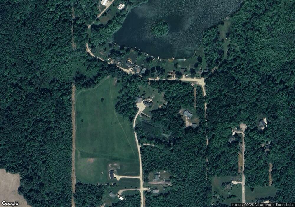
Map
Nearby Homes
- 1762 118th Ave
- 1880 118th Ave
- 1499 N Big Lake Dr
- 2079 W 116th Ave E
- 2092 122nd Ave
- 1666 14th St
- 1435 121st Ave
- 1385 Wetheral Lake Dr
- 2160 114th Ave
- 2346 116th Ave
- 2174 Pursuit Dr
- 2165 Pursuit Dr
- 1559 Dover Dr Unit 77
- 2529 Miner Lake Dr
- 1559 Deer Point Dr Unit 83
- 1163 Ashton St Unit 63
- 1160 Ashton St
- 1157 Winfield
- 1163 Winfield Ln
- 1554 Dover Dr
- 1827 Shantz Rd
- 1823 Schanz Rd
- 1818 Schanz Rd
- 1827 Schanz Rd
- 1863 Crystal Ln
- 1814 Schanz Rd
- 1830 Schanz Rd
- 1833 Schanz Rd
- 1834 Schanz Rd
- 1808 Schanz Rd
- 1806 Schanz Rd
- 1836 Schanz Rd
- 1845 Crystal Ln
- 1830 Crystal Ln
- 1806 Fawn Brooke Run
- 1829 Crystal Ln
- 1828 Crystal Ln
- 1854 Schanz Rd
- 1854 Schanz Rd
- 1823 Crystal Ln