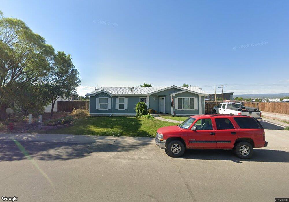
1834 Roxie Dr Montrose, CO 81401
Estimated Value: $342,000 - $399,000
3
Beds
2
Baths
1,908
Sq Ft
$195/Sq Ft
Est. Value
About This Home
This home is located at 1834 Roxie Dr, Montrose, CO 81401 and is currently estimated at $371,334, approximately $194 per square foot. 1834 Roxie Dr is a home located in Montrose County with nearby schools including Cottonwood Elementary School, Columbine Middle School, and Montrose High School.
Ownership History
Date
Name
Owned For
Owner Type
Purchase Details
Closed on
Apr 4, 2019
Sold by
Hughes John D and Hughes Suann E
Bought by
Bratcher Joshuah and Bratcher Ashley
Current Estimated Value
Home Financials for this Owner
Home Financials are based on the most recent Mortgage that was taken out on this home.
Original Mortgage
$196,377
Outstanding Balance
$175,806
Interest Rate
5.25%
Mortgage Type
FHA
Estimated Equity
$195,528
Purchase Details
Closed on
Mar 30, 2006
Sold by
Foley Idie
Bought by
Hughes John D and Hughes Suann E
Purchase Details
Closed on
Feb 27, 1998
Sold by
H K D Development Inc
Bought by
Foley Idie
Create a Home Valuation Report for This Property
The Home Valuation Report is an in-depth analysis detailing your home's value as well as a comparison with similar homes in the area
Home Values in the Area
Average Home Value in this Area
Purchase History
| Date | Buyer | Sale Price | Title Company |
|---|---|---|---|
| Bratcher Joshuah | $200,000 | Fidelity National Title | |
| Hughes John D | $169,500 | Security Title | |
| Foley Idie | $24,500 | -- |
Source: Public Records
Mortgage History
| Date | Status | Borrower | Loan Amount |
|---|---|---|---|
| Open | Bratcher Joshuah | $196,377 |
Source: Public Records
Tax History Compared to Growth
Tax History
| Year | Tax Paid | Tax Assessment Tax Assessment Total Assessment is a certain percentage of the fair market value that is determined by local assessors to be the total taxable value of land and additions on the property. | Land | Improvement |
|---|---|---|---|---|
| 2024 | $1,632 | $22,640 | $2,880 | $19,760 |
| 2023 | $1,632 | $27,310 | $3,480 | $23,830 |
| 2022 | $1,328 | $19,030 | $2,430 | $16,600 |
| 2021 | $1,368 | $19,580 | $2,500 | $17,080 |
| 2020 | $1,063 | $15,630 | $2,070 | $13,560 |
| 2019 | $1,070 | $15,630 | $2,070 | $13,560 |
| 2018 | $890 | $12,670 | $1,670 | $11,000 |
| 2017 | $882 | $12,670 | $1,670 | $11,000 |
| 2016 | $778 | $11,360 | $1,610 | $9,750 |
| 2015 | $765 | $11,360 | $1,610 | $9,750 |
| 2014 | $669 | $10,620 | $1,610 | $9,010 |
Source: Public Records
Map
Nearby Homes
- TBD Odelle Rd
- TBD Oxbow Dr
- TBD Lot 1 Woodgate Rd
- TBD Lot 3 Woodgate Rd
- TBD Lot 2-2 Woodgate Rd
- TBD Lot 2 Woodgate Rd
- TBD Lot 2-3 Woodgate Rd
- TBD Lot 2-1 Woodgate Rd
- 2707 Abrams Ave
- Lot: 1 Highway 550
- 2669 Lone Cone Ave
- 1649 Sneffels St
- Lot 2305 Painted Wall Ln
- TBD Lot 8 Hawk Pkwy
- TBD Lots 7 & 8 Hawk Pkwy
- TBD Lot 7 Hawk Pkwy
- 1649 Hermosa St
- TBD Otter Pond Cir
- 3038 Glacier Dr
- 1686 Rheims Ct