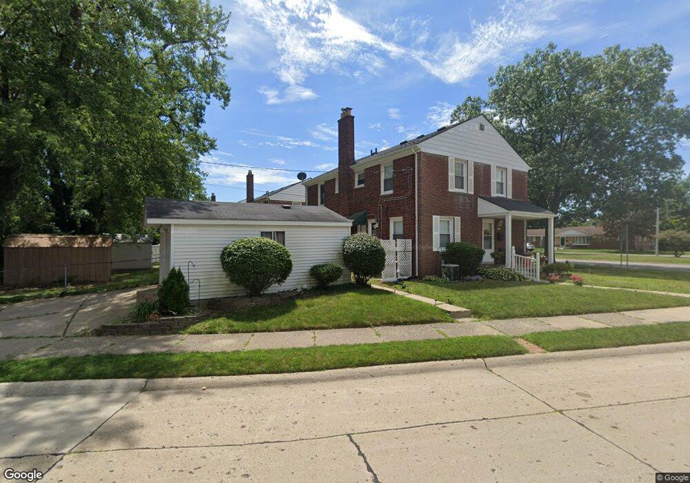
18345 Outer Dr Dearborn, MI 48128
Golfcrest NeighborhoodEstimated Value: $158,000 - $213,000
2
Beds
1
Bath
900
Sq Ft
$196/Sq Ft
Est. Value
About This Home
This home is located at 18345 Outer Dr, Dearborn, MI 48128 and is currently estimated at $176,313, approximately $195 per square foot. 18345 Outer Dr is a home located in Wayne County with nearby schools including Howard Elementary School, Bryant Middle School, and Dearborn High School.
Ownership History
Date
Name
Owned For
Owner Type
Purchase Details
Closed on
Oct 1, 2007
Sold by
Ferris James W and Ferris Heather
Bought by
James Investment Properties Llc
Current Estimated Value
Purchase Details
Closed on
Jul 11, 2007
Sold by
Bank Of New York
Bought by
Ferris James
Purchase Details
Closed on
Aug 8, 2006
Sold by
Mortgage Electronic Registration Systems
Bought by
Bank Of New York and Holders Cwabs Inc Asset Backed Certifica
Purchase Details
Closed on
Aug 2, 2006
Sold by
Mifsud Barbara A
Bought by
Mortgage Electronic Registration Systems
Purchase Details
Closed on
Dec 8, 2004
Sold by
Wallis Richard A
Bought by
Mifsud Barbara A
Purchase Details
Closed on
Jan 17, 1997
Sold by
Ceniti Bruce C
Bought by
Wallis Richard A
Purchase Details
Closed on
Feb 28, 1995
Sold by
Bardallis Patricia
Bought by
Ceniti Bruce C
Create a Home Valuation Report for This Property
The Home Valuation Report is an in-depth analysis detailing your home's value as well as a comparison with similar homes in the area
Home Values in the Area
Average Home Value in this Area
Purchase History
| Date | Buyer | Sale Price | Title Company |
|---|---|---|---|
| James Investment Properties Llc | -- | None Available | |
| Ferris James | $76,200 | Attorneys Title Agency Llc | |
| Bank Of New York | -- | None Available | |
| Mortgage Electronic Registration Systems | $78,260 | None Available | |
| Mifsud Barbara A | $94,000 | Multiple | |
| Wallis Richard A | $69,000 | -- | |
| Ceniti Bruce C | $62,250 | -- |
Source: Public Records
Tax History
| Year | Tax Paid | Tax Assessment Tax Assessment Total Assessment is a certain percentage of the fair market value that is determined by local assessors to be the total taxable value of land and additions on the property. | Land | Improvement |
|---|---|---|---|---|
| 2025 | $2,357 | $59,200 | $0 | $0 |
| 2024 | $2,373 | $71,300 | $0 | $0 |
| 2023 | $2,110 | $59,300 | $0 | $0 |
| 2022 | $2,429 | $54,300 | $0 | $0 |
| 2021 | $2,489 | $51,200 | $0 | $0 |
| 2019 | $2,455 | $44,100 | $0 | $0 |
| 2018 | $2,130 | $42,900 | $0 | $0 |
| 2017 | $502 | $33,700 | $0 | $0 |
| 2016 | $2,016 | $33,300 | $0 | $0 |
| 2015 | $3,092 | $36,150 | $0 | $0 |
| 2013 | $2,995 | $29,950 | $0 | $0 |
| 2011 | -- | $32,900 | $0 | $0 |
Source: Public Records
Map
Nearby Homes
- 1445 Belmont St
- 1910 Mcmillan St
- 1000 N Elizabeth St
- 1740 N Elizabeth St
- 1846 N Elizabeth St
- 1821 Golfview Dr
- 2045 N Elizabeth St
- 5635 Belmont St
- 23045 Murray St
- 23034 Myrtle St
- 23621 Lawrence Ave
- 23640 Hollander St
- 1803 N Rosevere Ave
- 925 N Rosevere Ave
- 1750 N Waverly St
- 23926 Oak St
- 1861 N Waverly St
- 17517 W Outer Dr
- 6006 Rosetta St
- 5910 N Waverly St
Your Personal Tour Guide
Ask me questions while you tour the home.