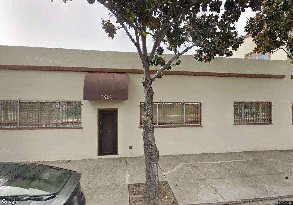
1835 Blake St Berkeley, CA 94703
South Berkeley NeighborhoodEstimated Value: $1,634,198 - $1,813,000
5
Beds
4
Baths
2,343
Sq Ft
$736/Sq Ft
Est. Value
About This Home
This home is located at 1835 Blake St, Berkeley, CA 94703 and is currently estimated at $1,723,733, approximately $735 per square foot. 1835 Blake St is a home located in Alameda County with nearby schools including Malcolm X Elementary School, Emerson Elementary School, and John Muir Elementary School.
Ownership History
Date
Name
Owned For
Owner Type
Purchase Details
Closed on
Mar 28, 2013
Sold by
Coleman Emma E and Drooker Eric
Bought by
Coleman Emma and The Emma Coleman Living Trust
Current Estimated Value
Purchase Details
Closed on
Jan 4, 2012
Sold by
Coleman Louise
Bought by
Coleman Louise S and Louise S Coleman Living Trust
Purchase Details
Closed on
Apr 1, 2011
Sold by
Oberth Lia
Bought by
Coleman Emma E and Drocker Eric
Create a Home Valuation Report for This Property
The Home Valuation Report is an in-depth analysis detailing your home's value as well as a comparison with similar homes in the area
Home Values in the Area
Average Home Value in this Area
Purchase History
| Date | Buyer | Sale Price | Title Company |
|---|---|---|---|
| Coleman Emma | -- | None Available | |
| Coleman Louise S | -- | None Available | |
| Coleman Emma E | $570,000 | Placer Title Company |
Source: Public Records
Tax History
| Year | Tax Paid | Tax Assessment Tax Assessment Total Assessment is a certain percentage of the fair market value that is determined by local assessors to be the total taxable value of land and additions on the property. | Land | Improvement |
|---|---|---|---|---|
| 2025 | $13,164 | $723,226 | $219,068 | $511,158 |
| 2024 | $13,164 | $708,914 | $214,774 | $501,140 |
| 2023 | $13,285 | $701,880 | $210,564 | $491,316 |
| 2022 | $12,584 | $681,120 | $206,436 | $481,684 |
| 2021 | $12,579 | $667,628 | $202,388 | $472,240 |
| 2020 | $11,782 | $667,714 | $200,314 | $467,400 |
| 2019 | $11,186 | $654,627 | $196,388 | $458,239 |
| 2018 | $10,967 | $641,797 | $192,539 | $449,258 |
| 2017 | $10,562 | $629,217 | $188,765 | $440,452 |
| 2016 | $10,138 | $616,881 | $185,064 | $431,817 |
| 2015 | $9,989 | $607,620 | $182,286 | $425,334 |
| 2014 | $10,014 | $595,717 | $178,715 | $417,002 |
Source: Public Records
Map
Nearby Homes
- 2533 Grant St
- 1901 Parker St Unit 3
- 1819 Carleton St
- 1726 Parker St Unit 2
- 1726 Parker St Unit 1
- 1711 Carleton St
- 2701 Grant St
- 1612 Parker St
- 2221 McGee Ave
- 1524 Blake St
- 1516 Blake St
- 1516 Blake St Unit A
- 2218 -2222 Grant St
- 1540 Stuart St
- 1431 Dwight Way
- 2118 California St
- 2437 Acton St
- 2829 California St
- 2304 Edwards St
- 2750 Sacramento St
- 1841 Blake St
- 1831 Blake St
- 1827 Blake St
- 1850 Dwight Way
- 1860 Dwight Way
- 1823 Blake St
- 1844 Dwight Way
- 1840 Dwight Way
- 2500 Martin Luther King jr Way
- 1830 Dwight Way
- 1844 Blake St
- 1819 Blake St
- 1820 Dwight Way
- 1834 Blake St
- 1824 Blake St
- 1815 Blake St
- 1820 Blake St
- 2574 Martin Luther King jr Way
- 1904 Blake St
- 1818 Blake St
