Estimated Value: $218,061 - $245,000
2
Beds
1
Bath
1,691
Sq Ft
$137/Sq Ft
Est. Value
About This Home
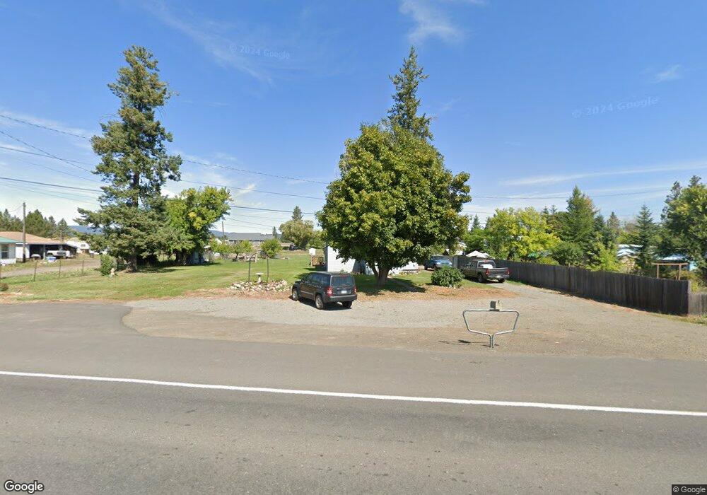
This home is located at 1835 Highway 204, Elgin, OR 97827 and is currently estimated at $231,531, approximately $136 per square foot. 1835 Highway 204 is a home located in Union County with nearby schools including Stella Mayfield Elementary School and Elgin High School.
Ownership History
Date
Name
Owned For
Owner Type
Purchase Details
Closed on
Dec 15, 2021
Sold by
Flying Diamond Enterprises Llc
Bought by
Stein Patrick G and Herrera Linda S
Current Estimated Value
Home Financials for this Owner
Home Financials are based on the most recent Mortgage that was taken out on this home.
Original Mortgage
$133,000
Outstanding Balance
$122,040
Interest Rate
3.09%
Mortgage Type
New Conventional
Estimated Equity
$109,491
Purchase Details
Closed on
Jan 19, 2021
Sold by
Castillo Monique
Bought by
Flying Diamond Enterprises Llc
Purchase Details
Closed on
Jun 21, 2018
Sold by
U S Bank N A
Bought by
Castillo Monique
Purchase Details
Closed on
Jun 8, 2017
Sold by
Smith Nathan F
Bought by
U S Bank Na
Purchase Details
Closed on
Dec 21, 2007
Sold by
Banducci Brandon D and Banducci Jennifer L
Bought by
Robinson Collen H
Home Financials for this Owner
Home Financials are based on the most recent Mortgage that was taken out on this home.
Original Mortgage
$3,000
Interest Rate
6.15%
Mortgage Type
Unknown
Create a Home Valuation Report for This Property
The Home Valuation Report is an in-depth analysis detailing your home's value as well as a comparison with similar homes in the area
Purchase History
| Date | Buyer | Sale Price | Title Company |
|---|---|---|---|
| Stein Patrick G | $208,000 | Eastern Oregon Title Inc | |
| Flying Diamond Enterprises Llc | $71,500 | Eastern Oregon Title Inc | |
| Castillo Monique | $51,000 | None Available | |
| U S Bank Na | $40,300 | None Available | |
| Robinson Collen H | $95,000 | Atco |
Source: Public Records
Mortgage History
| Date | Status | Borrower | Loan Amount |
|---|---|---|---|
| Open | Stein Patrick G | $133,000 | |
| Previous Owner | Robinson Collen H | $3,000 | |
| Previous Owner | Robinson Collen H | $92,150 |
Source: Public Records
Tax History
| Year | Tax Paid | Tax Assessment Tax Assessment Total Assessment is a certain percentage of the fair market value that is determined by local assessors to be the total taxable value of land and additions on the property. | Land | Improvement |
|---|---|---|---|---|
| 2025 | $642 | $57,950 | $23,220 | $34,730 |
| 2024 | $724 | $56,270 | $22,540 | $33,730 |
| 2023 | $706 | $54,640 | $21,880 | $32,760 |
| 2022 | $588 | $53,059 | $21,245 | $31,814 |
| 2021 | $671 | $51,514 | $20,748 | $30,766 |
| 2020 | $554 | $50,014 | $20,388 | $29,626 |
| 2019 | $638 | $48,558 | $20,059 | $28,499 |
| 2018 | $492 | $44,422 | $16,861 | $27,561 |
| 2017 | $478 | $43,129 | $16,514 | $26,615 |
| 2016 | $464 | $41,873 | $16,186 | $25,687 |
Source: Public Records
Map
Nearby Homes
- 0000 Oregon 204
- TBD Oregon 204
- 1951 Alder St
- 95 S 17th Ave
- 155 S 20th Ave
- 260 N 13th Ave
- 1290 Baltimore St
- 1380 Detroit St
- 902 N 15th Ave
- 900 N 15th Ave
- 265 N 4th Ave
- 71564 Palmer Junction Rd
- 68881 Indian Creek Rd
- 73210 Kingsbury Ln
- 76014 Oregon 82
- 0 Hindman Rd Unit 175201047
- Ranch
- 460 7th St
- 69443 Wickens Ln
- 66104 Hull Ln
- 1835 Oregon 204
- 1785 Highway 204
- 1885 Highway 204
- 1770 Baltimore St
- 1935 Highway 204
- 1902 Public St
- 30 N 17th Ave
- 1765 Oregon 204
- 1955 Highway 204
- 1730 Division St
- 95 N 17th Ave
- 1755 Baltimore St
- 35 N 17th Ave
- 10 S 17th Ave
- 105 N 17th Ave
- 89 S 19th Ave
- 99 N 17th Ave
- 97 N 17th Ave
- 155 N 17th Ave
- 1703 Alder St
Your Personal Tour Guide
Ask me questions while you tour the home.