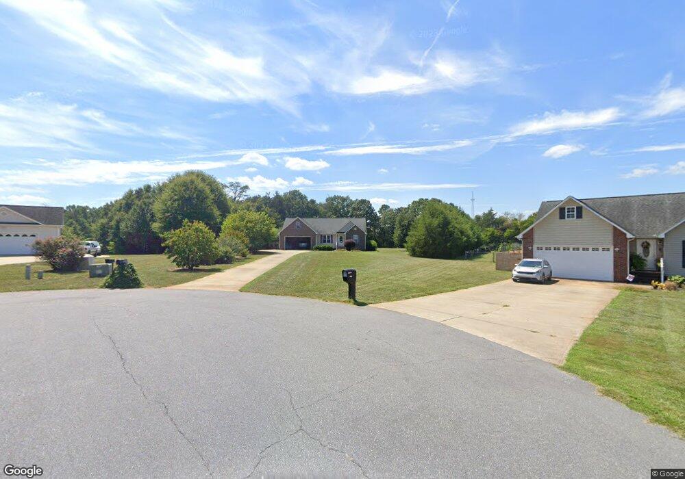
1835 Tennessee Ct Lincolnton, NC 28092
Estimated Value: $300,000 - $352,000
3
Beds
2
Baths
1,536
Sq Ft
$211/Sq Ft
Est. Value
About This Home
This home is located at 1835 Tennessee Ct, Lincolnton, NC 28092 and is currently estimated at $324,096, approximately $211 per square foot. 1835 Tennessee Ct is a home located in Lincoln County with nearby schools including Norris S. Childers Elementary School, West Lincoln Middle, and West Lincoln High School.
Ownership History
Date
Name
Owned For
Owner Type
Purchase Details
Closed on
Jun 30, 2005
Sold by
Hicks Jeffrey Lynn and Hicks April B
Bought by
Brown Franklin W and Brown Mildred A
Current Estimated Value
Purchase Details
Closed on
Feb 3, 2005
Sold by
Schronce Billys and Schronce Carol R
Bought by
Hicks Jeffery Lynn and Hicks April Baker
Purchase Details
Closed on
Feb 23, 2001
Bought by
Schronce Billy S and Schronce Carol R
Purchase Details
Closed on
Feb 25, 1999
Bought by
Tate Shannon R and Tate Julie A
Purchase Details
Closed on
Sep 10, 1993
Bought by
Pope Timothy D and Pope Debra R
Create a Home Valuation Report for This Property
The Home Valuation Report is an in-depth analysis detailing your home's value as well as a comparison with similar homes in the area
Home Values in the Area
Average Home Value in this Area
Purchase History
| Date | Buyer | Sale Price | Title Company |
|---|---|---|---|
| Brown Franklin W | $147,000 | None Available | |
| Hicks Jeffery Lynn | $19,000 | None Available | |
| Schronce Billy S | $16,000 | -- | |
| Tate Shannon R | $15,000 | -- | |
| Pope Timothy D | $11,000 | -- |
Source: Public Records
Tax History Compared to Growth
Tax History
| Year | Tax Paid | Tax Assessment Tax Assessment Total Assessment is a certain percentage of the fair market value that is determined by local assessors to be the total taxable value of land and additions on the property. | Land | Improvement |
|---|---|---|---|---|
| 2025 | $2,050 | $306,109 | $42,115 | $263,994 |
| 2024 | $2,030 | $306,109 | $42,115 | $263,994 |
| 2023 | $2,025 | $306,109 | $42,115 | $263,994 |
| 2022 | $1,440 | $178,025 | $28,931 | $149,094 |
| 2021 | $1,440 | $178,025 | $28,931 | $149,094 |
| 2020 | $1,289 | $178,025 | $28,931 | $149,094 |
| 2019 | $1,289 | $178,025 | $28,931 | $149,094 |
| 2018 | $1,264 | $157,955 | $26,358 | $131,597 |
| 2017 | $1,163 | $157,955 | $26,358 | $131,597 |
| 2016 | $1,107 | $157,955 | $26,358 | $131,597 |
| 2015 | $1,171 | $157,955 | $26,358 | $131,597 |
| 2014 | $1,149 | $158,417 | $26,358 | $132,059 |
Source: Public Records
Map
Nearby Homes
- 2064 Colorado Ct
- 2614 Reepsville Rd
- 1712 Cline Farm Rd
- 2238 Mintew Cir
- 2156 River Rd
- 1939 River Rd
- 2508 Rock Dam Rd
- 0 Hillard Ln
- 3817 Spike Ln
- 000 Flag Ln Unit 53
- 1643 Flag Ln
- 1865 Rockdam Creek Ct
- 00 Pleasant Grove Church Rd
- #168 Rolling Rd
- 146 Gallup Ln
- 000 Better Brook Ln
- 1231 Better Brook Ln
- 1983 Seagletown Rd
- 536 Lincolnview Rd
- 2748 Eagle Dr
- 1845 Tennessee Ct
- 1836 Tennessee Ct
- 1855 Tennessee Ct
- 1834 Appalachian Ct
- 2081 Oklahoma Ct
- 2093 Oklahoma Ct
- 1844 Tennessee Ct
- 2107 Oklahoma Ct
- 2117 Oklahoma Ct
- 1854 Tennessee Ct
- 1835 Appalachian Ct
- 2667 Gold Rush Dr
- 2655 Gold Rush Dr
- 2131 Oklahoma Ct
- 2647 Gold Rush Dr
- 2633 Gold Rush Dr
- 2685 Gold Rush Dr
- 2623 Gold Rush Dr
- 2096 Oklahoma Ct
- 2147 Oklahoma Ct