18353 Buckthorn Rd San Bernardino, CA 92407
Estimated Value: $685,854 - $1,122,000
3
Beds
3
Baths
2,080
Sq Ft
$390/Sq Ft
Est. Value
About This Home
This home is located at 18353 Buckthorn Rd, San Bernardino, CA 92407 and is currently estimated at $811,714, approximately $390 per square foot. 18353 Buckthorn Rd is a home located in San Bernardino County with nearby schools including Kimbark Elementary School, Cesar E. Chavez Middle School, and Cajon High School.
Ownership History
Date
Name
Owned For
Owner Type
Purchase Details
Closed on
Oct 1, 1999
Sold by
Falicki James P
Bought by
Brill Alvin J and Brill Laurel A
Current Estimated Value
Home Financials for this Owner
Home Financials are based on the most recent Mortgage that was taken out on this home.
Original Mortgage
$202,900
Outstanding Balance
$60,890
Interest Rate
7.75%
Mortgage Type
VA
Estimated Equity
$750,824
Create a Home Valuation Report for This Property
The Home Valuation Report is an in-depth analysis detailing your home's value as well as a comparison with similar homes in the area
Home Values in the Area
Average Home Value in this Area
Purchase History
| Date | Buyer | Sale Price | Title Company |
|---|---|---|---|
| Brill Alvin J | $197,000 | First American Title Ins Co |
Source: Public Records
Mortgage History
| Date | Status | Borrower | Loan Amount |
|---|---|---|---|
| Open | Brill Alvin J | $202,900 |
Source: Public Records
Tax History Compared to Growth
Tax History
| Year | Tax Paid | Tax Assessment Tax Assessment Total Assessment is a certain percentage of the fair market value that is determined by local assessors to be the total taxable value of land and additions on the property. | Land | Improvement |
|---|---|---|---|---|
| 2025 | $3,465 | $302,789 | $75,701 | $227,088 |
| 2024 | $3,465 | $296,852 | $74,217 | $222,635 |
| 2023 | $3,347 | $291,032 | $72,762 | $218,270 |
| 2022 | $3,331 | $285,325 | $71,335 | $213,990 |
| 2021 | $3,343 | $279,730 | $69,936 | $209,794 |
| 2020 | $3,322 | $276,862 | $69,219 | $207,643 |
| 2019 | $3,218 | $271,434 | $67,862 | $203,572 |
| 2018 | $2,999 | $266,111 | $66,531 | $199,580 |
| 2017 | $2,901 | $260,893 | $65,226 | $195,667 |
| 2016 | $2,784 | $255,777 | $63,947 | $191,830 |
| 2015 | $2,848 | $251,935 | $62,986 | $188,949 |
| 2014 | $2,759 | $247,000 | $61,752 | $185,248 |
Source: Public Records
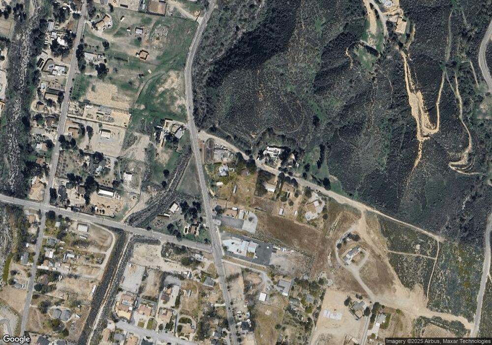
Map
Nearby Homes
- 18330 Grandview Ave
- 1244 Knoll St
- 18484 Grandview Ave
- 1121 Devore Rd
- 0 Deercrest Dr Unit IG25155038
- 0 Deercrest Dr Unit HD24243602
- 1166 Deercrest Dr
- 18526 Santa fe Ave
- 18681 Deercrest Estates Place
- 1033 Kimbark Ave
- 0 Meyers Rd Unit CV22260301
- 1108 Richmond Hill Ct
- 0 Canon St Unit CV25122924
- 7677 Cable Canyon Rd
- 2150 Glen Helen Rd
- 2234 W Glen Helen Rd
- 0 Foresthill Ct Unit IG25023090
- 0 Kendall Dr Unit 25608747
- 0 Kendall Dr Unit PW25070113
- 7021 Hurley Ct
- 1495 Devore Rd
- 18377 Buckthorn Rd
- 1333 Devore Rd
- 0 Devore Rd
- 18393 Buckthorn Rd
- 18578 Buckthorn Rd
- 0 Buckthorn Rd Unit IV18078066
- 0 Buckthorn Rd Unit IV17035085
- 0 Buckthorn Rd Unit CRIV24236563
- 1446 Devore Rd
- 123 Devore Rd
- 18414 Buckthorn Rd
- 18490 Buckthorn Rd
- 1332 Devore Rd
- 1476 Devore Rd
- 1518 Devore Rd
- 1515 Devore Rd
- 1788 Needle Ave
- 1 Canon
- 15 Kendall Dr