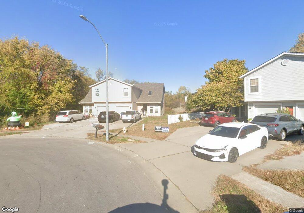
1837 Chickadee Dr Liberty, MO 64068
Estimated Value: $349,000 - $461,000
--
Bed
6
Baths
2,784
Sq Ft
$146/Sq Ft
Est. Value
About This Home
This home is located at 1837 Chickadee Dr, Liberty, MO 64068 and is currently estimated at $407,810, approximately $146 per square foot. 1837 Chickadee Dr is a home located in Clay County with nearby schools including Lillian Schumacher Elementary School, Liberty Middle School, and Liberty High School.
Ownership History
Date
Name
Owned For
Owner Type
Purchase Details
Closed on
Sep 14, 2005
Sold by
Green Kahlea A and Green Sammy D
Bought by
Langston Jennifer
Current Estimated Value
Purchase Details
Closed on
Apr 7, 1998
Sold by
Robertson James Robert
Bought by
Green Sammy D and Green Kahlea A
Home Financials for this Owner
Home Financials are based on the most recent Mortgage that was taken out on this home.
Original Mortgage
$167,150
Interest Rate
6.75%
Create a Home Valuation Report for This Property
The Home Valuation Report is an in-depth analysis detailing your home's value as well as a comparison with similar homes in the area
Purchase History
| Date | Buyer | Sale Price | Title Company |
|---|---|---|---|
| Langston Jennifer | $148,100 | -- | |
| Green Sammy D | -- | Thomson Title Corp |
Source: Public Records
Mortgage History
| Date | Status | Borrower | Loan Amount |
|---|---|---|---|
| Previous Owner | Green Sammy D | $167,150 |
Source: Public Records
Tax History
| Year | Tax Paid | Tax Assessment Tax Assessment Total Assessment is a certain percentage of the fair market value that is determined by local assessors to be the total taxable value of land and additions on the property. | Land | Improvement |
|---|---|---|---|---|
| 2025 | $3,909 | $58,410 | -- | -- |
| 2024 | $3,909 | $50,830 | -- | -- |
| 2023 | $3,976 | $50,830 | $0 | $0 |
| 2022 | $3,658 | $46,170 | $0 | $0 |
| 2021 | $3,629 | $46,170 | $6,650 | $39,520 |
| 2020 | $3,232 | $38,610 | $0 | $0 |
| 2019 | $3,231 | $38,610 | $0 | $0 |
Source: Public Records
Map
Nearby Homes
- 939 Goldfinch Ln
- 1877 Chickadee Dr
- 2600 Magnolia Ave
- 822 Sherrill Ave
- 1846 Mallard Dr
- 1205 Robin Cir
- 900 Shiloh Ct
- 2218 Liberty Landing Rd
- 2428 Little Blue Ct
- 1200 Silverleaf Ct
- 409 Lilly Ln
- 1955 Birmingham Rd
- 1059 Fir Ln
- 1026 Jasmine Dr
- 1022 Jasmine Dr
- 1705 Johnston St
- 1015 Poplar Ln
- 1007 Poplar Ln
- 1012 Poplar Ln
- 1027 Fir Ln
- 1855 Kingbird Ln
- 1838 Chickadee Dr
- 1851 Kingbird Ln
- 1853 Kingbird Ln
- 1859 Kingbird Ln
- 1840 Chickadee Dr
- 1861 Kingbird Ln
- 1842 Chickadee Dr
- 1841 Chickadee Dr
- 1847 Kingbird Ln
- 1867 Kingbird Ct
- 1869 Kingbird Ct
- 1844 Chickadee Dr
- 1865 Kingbird Ct
- 1845 Chickadee Dr
- 1871 Kingbird Ct
- 1863 Kingbird Ct
- 1845 Kingbird Ln
- 1864 Kingbird Ln
- 1866 Kingbird Ln
Your Personal Tour Guide
Ask me questions while you tour the home.