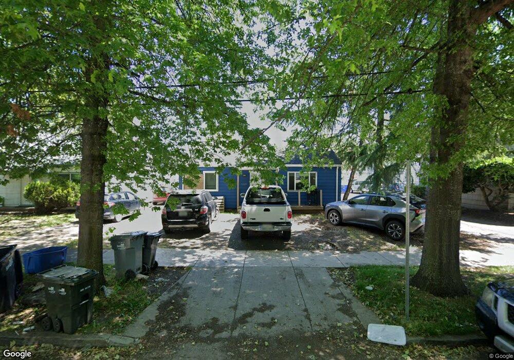
1837 High St Eugene, OR 97401
South University NeighborhoodEstimated Value: $458,000
4
Beds
2
Baths
1,380
Sq Ft
$332/Sq Ft
Est. Value
About This Home
This home is located at 1837 High St, Eugene, OR 97401 and is currently estimated at $458,000, approximately $331 per square foot. 1837 High St is a home located in Lane County with nearby schools including Edison Elementary School, Roosevelt Middle School, and South Eugene High School.
Ownership History
Date
Name
Owned For
Owner Type
Purchase Details
Closed on
Nov 28, 2016
Sold by
Lemon Tronrud Llc
Bought by
Harui Sandra and Vanderzandden John
Current Estimated Value
Purchase Details
Closed on
Nov 24, 2010
Sold by
Lemon Herbert C and Lemon Jane C
Bought by
Lemontronrud Llc
Purchase Details
Closed on
Aug 3, 2005
Sold by
Lemon Herbert C
Bought by
Lemon Herbert C and Lemon Jane C
Purchase Details
Closed on
Feb 3, 2005
Sold by
Lemon Herbert C and Lemon Jane C
Bought by
Lemon Herbert C
Home Financials for this Owner
Home Financials are based on the most recent Mortgage that was taken out on this home.
Original Mortgage
$152,000
Interest Rate
7.65%
Mortgage Type
FHA
Purchase Details
Closed on
Dec 3, 2004
Sold by
Lemon Herbert C
Bought by
Lemon Herbert C and Lemon Jane C
Create a Home Valuation Report for This Property
The Home Valuation Report is an in-depth analysis detailing your home's value as well as a comparison with similar homes in the area
Home Values in the Area
Average Home Value in this Area
Purchase History
| Date | Buyer | Sale Price | Title Company |
|---|---|---|---|
| Harui Sandra | $215,000 | Evergreen Land Title Company | |
| Lemontronrud Llc | -- | None Available | |
| Lemon Herbert C | -- | -- | |
| Lemon Herbert C | -- | Western Pioneer Title | |
| Lemon Herbert C | -- | -- |
Source: Public Records
Mortgage History
| Date | Status | Borrower | Loan Amount |
|---|---|---|---|
| Previous Owner | Lemon Herbert C | $152,000 |
Source: Public Records
Tax History
| Year | Tax Paid | Tax Assessment Tax Assessment Total Assessment is a certain percentage of the fair market value that is determined by local assessors to be the total taxable value of land and additions on the property. | Land | Improvement |
|---|---|---|---|---|
| 2025 | $5,353 | $274,740 | -- | -- |
| 2024 | $5,286 | $266,738 | -- | -- |
| 2023 | $5,286 | $258,969 | $0 | $0 |
| 2022 | $4,952 | $251,427 | $0 | $0 |
| 2021 | $4,652 | $244,104 | $0 | $0 |
Source: Public Records
Map
Nearby Homes
- 1826 Mill St
- 1733 Mill Aly
- 1857 Pearl St
- 181 Civic Dr
- 193 E 20th Ave
- 177 E 20th Ave
- 1600 Pearl St Unit 608
- 1828 Hilyard St
- 1492 Pearl St
- 344 E 14th Ave
- 508 E 14th Ave
- 2031 Olive St
- 2121 Hilyard St
- 1673 Olive Aly
- 1375 Olive St Unit 503
- 2223 Olive St
- 180 W 23rd Ave
- 1313 Lincoln St Unit 503
- 1313 Lincoln St Unit 1005
- 1313 Lincoln St Unit 401
- 1823 High St
- 323 E 18th Aly
- 312 E 18th Ave
- 328 E 18th Ave
- 1838 High St
- 1820 High St
- 1832 High St
- 1858 High St
- 1850 High St Unit C
- 350 E 18th Ave
- 355 E 19th Ave
- 1840 Mill St Unit A
- 1840 Mill St Unit E
- 1840 Mill St Unit D
- 1840 Mill St
- 390 E 18th Ave
- 1785 Mill Aly
- 385 E 19th Ave
- 396 E 18th Ave
- 1797 Mill Aly
Your Personal Tour Guide
Ask me questions while you tour the home.