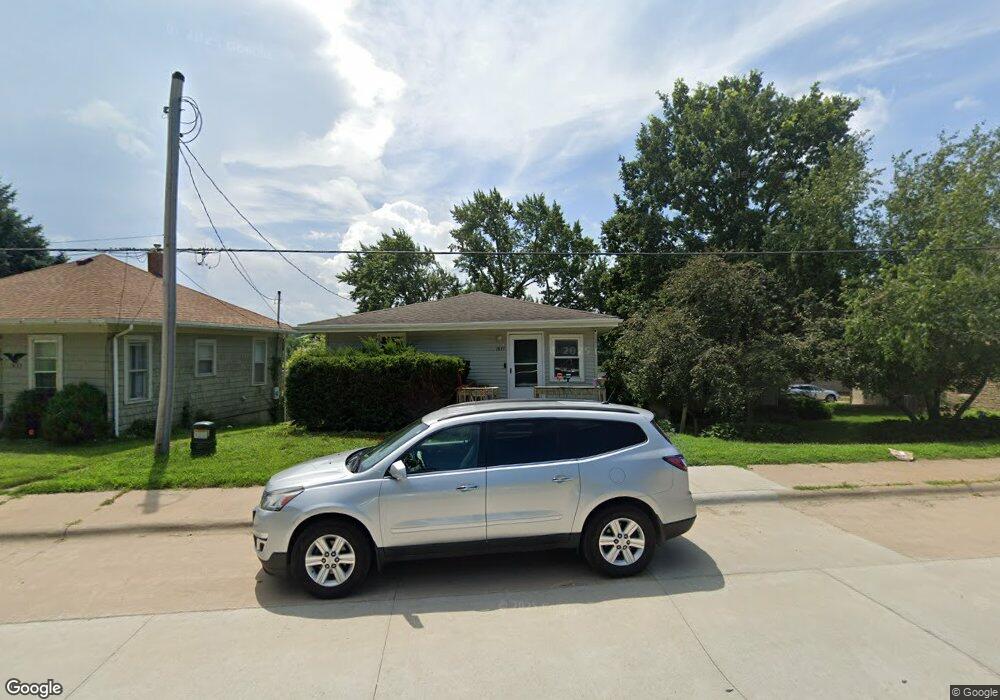
1837 S Bluff Blvd Clinton, IA 52732
Estimated Value: $91,000 - $109,000
3
Beds
1
Bath
1,040
Sq Ft
$96/Sq Ft
Est. Value
About This Home
This home is located at 1837 S Bluff Blvd, Clinton, IA 52732 and is currently estimated at $100,031, approximately $96 per square foot. 1837 S Bluff Blvd is a home located in Clinton County with nearby schools including Whittier Elementary School, Clinton Middle School, and Clinton High School.
Ownership History
Date
Name
Owned For
Owner Type
Purchase Details
Closed on
Sep 9, 2011
Sold by
Federal Home Loan Mortgage Corporation
Bought by
Dunham Edward L and Mojeiko Ryan E
Current Estimated Value
Home Financials for this Owner
Home Financials are based on the most recent Mortgage that was taken out on this home.
Original Mortgage
$60,000
Interest Rate
4.12%
Mortgage Type
FHA
Create a Home Valuation Report for This Property
The Home Valuation Report is an in-depth analysis detailing your home's value as well as a comparison with similar homes in the area
Home Values in the Area
Average Home Value in this Area
Purchase History
| Date | Buyer | Sale Price | Title Company |
|---|---|---|---|
| Dunham Edward L | $27,200 | Chicago Title Insurance Comp |
Source: Public Records
Mortgage History
| Date | Status | Borrower | Loan Amount |
|---|---|---|---|
| Previous Owner | Dunham Edward L | $60,000 |
Source: Public Records
Tax History Compared to Growth
Tax History
| Year | Tax Paid | Tax Assessment Tax Assessment Total Assessment is a certain percentage of the fair market value that is determined by local assessors to be the total taxable value of land and additions on the property. | Land | Improvement |
|---|---|---|---|---|
| 2025 | $1,432 | $89,370 | $7,640 | $81,730 |
| 2024 | $1,432 | $76,940 | $7,640 | $69,300 |
| 2023 | $1,412 | $76,940 | $7,640 | $69,300 |
| 2022 | $1,308 | $59,840 | $6,300 | $53,540 |
| 2021 | $1,378 | $59,840 | $6,300 | $53,540 |
| 2020 | $1,378 | $59,727 | $5,985 | $53,742 |
| 2019 | $1,424 | $59,727 | $0 | $0 |
| 2018 | $1,386 | $59,727 | $0 | $0 |
| 2017 | $1,386 | $59,727 | $0 | $0 |
| 2016 | $1,380 | $59,727 | $0 | $0 |
| 2015 | $1,380 | $59,727 | $0 | $0 |
| 2014 | $1,386 | $59,727 | $0 | $0 |
| 2013 | $1,366 | $0 | $0 | $0 |
Source: Public Records
Map
Nearby Homes
- 1908 Circle Dr S
- 819 Millcrest Ct
- 1836 Zara Trace
- 1830 Zara Trace
- 1824 Zara Trace
- 1818 Zara Trace
- 2340 Lafayette Terrace
- 1825 5th Ave S
- 1510 7th Ave S
- 1331 15th Ave S Unit South
- 1865 Harrison Dr
- 1400 8th Ave S
- 1813 Zara Trace St
- 716 Terrace Dr
- 1313 Harrison Dr
- 1305 Harrison Dr
- 1239 14th Ave S
- 1626 25th Ave S
- 1214 S 12th St
- 1315 Caroline Ave
- 1833 S Bluff Blvd
- 1831 S Bluff Blvd
- 1831 S Bluff Blvd
- 1845 13th Ave S
- 1829 13th Ave S
- 1821 S Bluff Blvd
- 1825 S Bluff Blvd
- 1901 S Bluff Blvd
- 1846 14th Ave S
- 1836 14th Ave S
- 1840 14th Ave S
- 1830 14th Ave S
- 1824 14th Ave S
- 1828 14th Ave S
- 1800 14th Ave S
- 1302 S 18th St
- 1821 13th Ave S
- 1900 14th Ave S
- 1925 S Bluff Blvd
- 1917 S Bluff Blvd