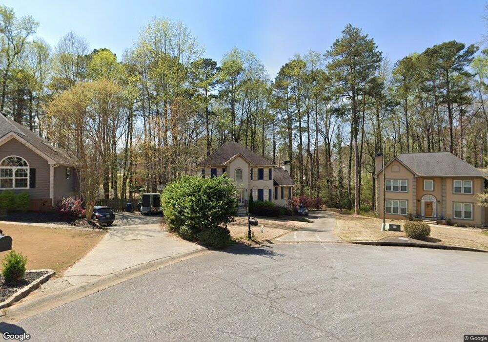
1837 Walker Ridge Dr SW Unit 4 Marietta, GA 30064
West Cobb NeighborhoodEstimated Value: $491,000 - $532,000
4
Beds
5
Baths
2,500
Sq Ft
$205/Sq Ft
Est. Value
About This Home
This home is located at 1837 Walker Ridge Dr SW Unit 4, Marietta, GA 30064 and is currently estimated at $512,008, approximately $204 per square foot. 1837 Walker Ridge Dr SW Unit 4 is a home located in Cobb County with nearby schools including Cheatham Hill Elementary School, Lovinggood Middle School, and Hillgrove High School.
Ownership History
Date
Name
Owned For
Owner Type
Purchase Details
Closed on
Nov 14, 2003
Sold by
Suauer Henry B and Suauer Donna L
Bought by
Beem David M and Beem Julie
Current Estimated Value
Home Financials for this Owner
Home Financials are based on the most recent Mortgage that was taken out on this home.
Original Mortgage
$162,000
Outstanding Balance
$74,716
Interest Rate
6.04%
Mortgage Type
New Conventional
Estimated Equity
$437,292
Purchase Details
Closed on
Nov 15, 1999
Sold by
Klein Edward A and Klein Debra S
Bought by
Sauer Henry B and Sauer Donna L
Home Financials for this Owner
Home Financials are based on the most recent Mortgage that was taken out on this home.
Original Mortgage
$149,600
Interest Rate
7.99%
Mortgage Type
New Conventional
Create a Home Valuation Report for This Property
The Home Valuation Report is an in-depth analysis detailing your home's value as well as a comparison with similar homes in the area
Home Values in the Area
Average Home Value in this Area
Purchase History
| Date | Buyer | Sale Price | Title Company |
|---|---|---|---|
| Beem David M | $215,000 | -- | |
| Sauer Henry B | $187,000 | -- |
Source: Public Records
Mortgage History
| Date | Status | Borrower | Loan Amount |
|---|---|---|---|
| Open | Beem David M | $162,000 | |
| Previous Owner | Sauer Henry B | $149,600 |
Source: Public Records
Tax History Compared to Growth
Tax History
| Year | Tax Paid | Tax Assessment Tax Assessment Total Assessment is a certain percentage of the fair market value that is determined by local assessors to be the total taxable value of land and additions on the property. | Land | Improvement |
|---|---|---|---|---|
| 2025 | $1,125 | $205,728 | $40,000 | $165,728 |
| 2024 | $1,068 | $185,104 | $16,000 | $169,104 |
| 2023 | $862 | $185,104 | $16,000 | $169,104 |
| 2022 | $977 | $154,588 | $16,000 | $138,588 |
| 2021 | $926 | $137,724 | $16,000 | $121,724 |
| 2020 | $877 | $121,372 | $16,000 | $105,372 |
| 2019 | $850 | $112,136 | $16,000 | $96,136 |
| 2018 | $824 | $103,508 | $16,000 | $87,508 |
| 2017 | $731 | $103,508 | $16,000 | $87,508 |
| 2016 | $2,192 | $89,440 | $16,000 | $73,440 |
| 2015 | $2,242 | $89,440 | $16,000 | $73,440 |
| 2014 | $1,936 | $75,020 | $0 | $0 |
Source: Public Records
Map
Nearby Homes
- 2040 Hardwood Cir SW Unit 3
- 2409 Caneridge Point SW
- 1985 Freestone Way
- 2009 Freestone Way
- Monteluce Plan at Freestone Station
- Hillside Plan at Freestone Station
- Oakshire Plan at Freestone Station
- Hendricks Plan at Freestone Station
- Hedgerow Plan at Freestone Station
- Antioch Plan at Freestone Station
- 1952 Freestone Way
- 2117 Caneridge Dr SW
- 1946 MacLand Rd SW
- 2093 Breconridge Dr SW
- 1830 MacLand Rd SW
- 2040 Freestone Way
- 1646 Desford Ct SW
- 2002 MacLand Square Dr Unit 1
- 2146 Caneridge Dr SW
- 2028 MacLand Square Dr Unit 4
- 1835 Walker Ridge Dr SW
- 1839 Walker Ridge Dr SW
- 1833 Walker Ridge Dr SW Unit 4
- 1838 Walker Ridge Dr SW
- 1975 Carithers Way
- 2250 Byron Ct SW
- 1836 Walker Ridge Dr SW
- 1834 Walker Ridge Dr SW Unit 4
- 2192 Kenward Ct SW
- 1974 Carithers Way
- 1831 Walker Ridge Dr SW
- 1832 Walker Ridge Dr SW
- 2252 Byron Ct SW
- 2194 Kenward Ct SW
- 2194 Kenwood Ct SW
- 1979 Carithers Way
- 2175 Westbury Ct SW
- 2177 Westbury Ct SW Unit 4
- 1830 Walker Ridge Dr SW Unit 4
- 2173 Westbury Ct SW