1838 Kolb Farm Cir SW Marietta, GA 30008
Southwestern Marietta NeighborhoodEstimated Value: $305,000 - $368,000
3
Beds
2
Baths
1,423
Sq Ft
$236/Sq Ft
Est. Value
About This Home
This home is located at 1838 Kolb Farm Cir SW, Marietta, GA 30008 and is currently estimated at $335,670, approximately $235 per square foot. 1838 Kolb Farm Cir SW is a home located in Cobb County with nearby schools including Dowell Elementary School, Smitha Middle School, and Osborne High School.
Ownership History
Date
Name
Owned For
Owner Type
Purchase Details
Closed on
Dec 19, 2017
Sold by
Mcnair Beryl Koger
Bought by
Buscarino Nancy Ann and Buscarino Sarah Beth
Current Estimated Value
Home Financials for this Owner
Home Financials are based on the most recent Mortgage that was taken out on this home.
Original Mortgage
$60,000
Outstanding Balance
$50,370
Interest Rate
3.92%
Mortgage Type
New Conventional
Estimated Equity
$285,300
Purchase Details
Closed on
Jun 26, 2013
Sold by
Greenway Diana
Bought by
Mcnair Beryl K
Purchase Details
Closed on
Nov 11, 1999
Sold by
Harvest Dev Group
Bought by
Greenway Diana
Home Financials for this Owner
Home Financials are based on the most recent Mortgage that was taken out on this home.
Original Mortgage
$100,000
Interest Rate
7.85%
Mortgage Type
New Conventional
Create a Home Valuation Report for This Property
The Home Valuation Report is an in-depth analysis detailing your home's value as well as a comparison with similar homes in the area
Home Values in the Area
Average Home Value in this Area
Purchase History
| Date | Buyer | Sale Price | Title Company |
|---|---|---|---|
| Buscarino Nancy Ann | $172,000 | -- | |
| Mcnair Beryl K | $125,000 | -- | |
| Greenway Diana | $152,900 | -- |
Source: Public Records
Mortgage History
| Date | Status | Borrower | Loan Amount |
|---|---|---|---|
| Open | Buscarino Nancy Ann | $60,000 | |
| Previous Owner | Greenway Diana | $100,000 |
Source: Public Records
Tax History Compared to Growth
Tax History
| Year | Tax Paid | Tax Assessment Tax Assessment Total Assessment is a certain percentage of the fair market value that is determined by local assessors to be the total taxable value of land and additions on the property. | Land | Improvement |
|---|---|---|---|---|
| 2025 | $776 | $137,512 | $28,000 | $109,512 |
| 2024 | $779 | $137,512 | $28,000 | $109,512 |
| 2023 | $573 | $137,512 | $28,000 | $109,512 |
| 2022 | $665 | $99,336 | $12,600 | $86,736 |
| 2021 | $589 | $73,928 | $12,600 | $61,328 |
| 2020 | $589 | $73,928 | $12,600 | $61,328 |
| 2019 | $560 | $64,104 | $12,600 | $51,504 |
| 2018 | $560 | $64,104 | $12,600 | $51,504 |
| 2017 | $450 | $54,900 | $12,600 | $42,300 |
| 2016 | $426 | $49,968 | $12,248 | $37,720 |
| 2015 | $454 | $49,968 | $12,248 | $37,720 |
| 2014 | $462 | $49,968 | $0 | $0 |
Source: Public Records
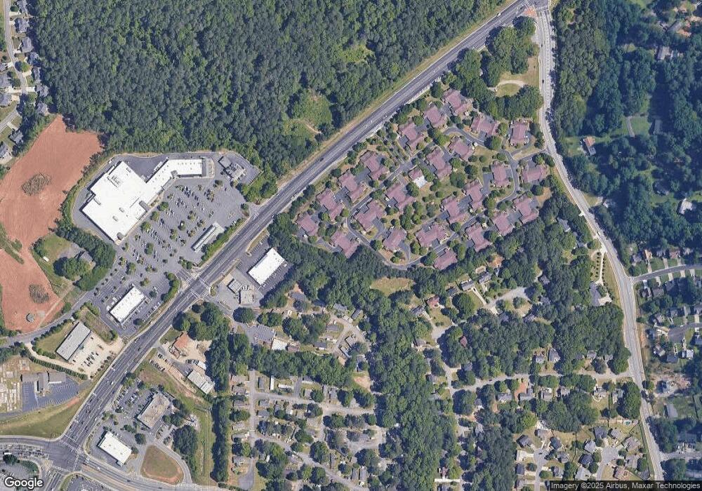
Map
Nearby Homes
- 1830 Kolb Farm Cir SW Unit 7
- 1927 Kolb Farm Cir SW Unit 90
- 1906 Kolb Farm Cir SW Unit 51
- 1951 Bergerac Ct SW
- 1718 Rifle Ridge SW
- 1472 Chapel Hill Ln SW
- 1784 Hammond Woods Cir SW
- 2001 MacLand Square Dr Unit 11
- 1799 Hammond Woods Cir SW
- 2002 MacLand Square Dr Unit 1
- 1946 MacLand Rd SW
- 1533 Fallen Leaf Dr SW
- 2121 Cumberland Creek Trail SW
- 1960 McEachern Manor Dr SW
- 1646 Desford Ct SW
- 1952 Freestone Way
- 1838 Kolb Farm Cir SW Unit 6
- 1838 Kolb Farm Cir SW
- 1832 Kolb Farm Cir SW
- 1836 Kolb Farm Cir SW
- 1834 Kolb Farm Cir SW
- 1815 Kolb Farm Cir SW Unit 21
- 1813 Kolb Farm Cir SW Unit 21
- 1813 Kolb Farm Cir SW
- 1843 Kolb Farm Cir SW
- 1843 Kolb Farm Cir SW
- 1820 Kolb Farm Cir SW Unit 7
- 1820 Kolb Farm Cir SW
- 1820 Kolb Farm Cir SW Unit 29
- 1818 Kolb Farm Cir SW Unit 8
- 1826 Kolb Farm Cir SW Unit 7
- 1809 Kolb Farm Cir SW Unit 21
- 1845 Kolb Farm Cir SW
- 1811 Kolb Farm Cir SW Unit 21
- 1841 Kolb Farm Cir SW
- 1841 Kolb Farm Cir SW Unit 80