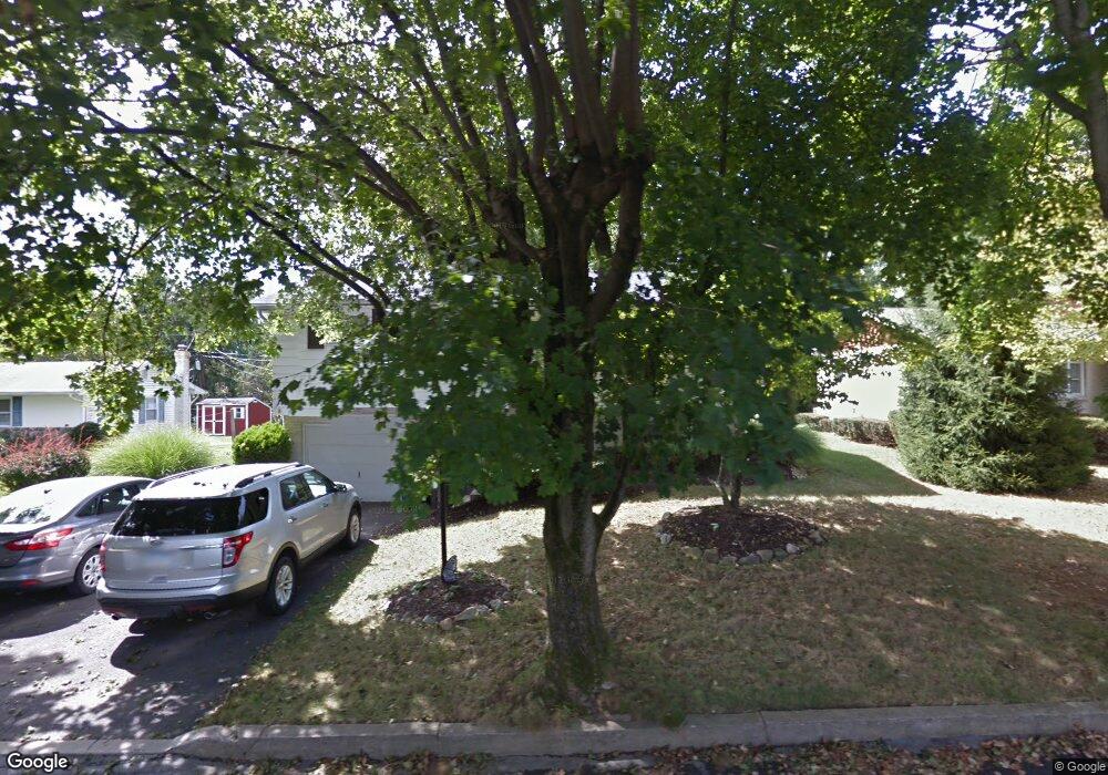
1838 N 21st St Allentown, PA 18104
South Whitehall Township NeighborhoodEstimated Value: $369,794 - $431,000
3
Beds
2
Baths
1,848
Sq Ft
$216/Sq Ft
Est. Value
About This Home
This home is located at 1838 N 21st St, Allentown, PA 18104 and is currently estimated at $399,949, approximately $216 per square foot. 1838 N 21st St is a home located in Lehigh County with nearby schools including Tussing Elementary School, Kratzer Elementary School, and Cavelero Mid High School.
Ownership History
Date
Name
Owned For
Owner Type
Purchase Details
Closed on
Jan 6, 1998
Sold by
Smith Franklin G and Smith Kathryn A
Bought by
Saylor Matthew J and Saylor Denise L
Current Estimated Value
Create a Home Valuation Report for This Property
The Home Valuation Report is an in-depth analysis detailing your home's value as well as a comparison with similar homes in the area
Home Values in the Area
Average Home Value in this Area
Purchase History
| Date | Buyer | Sale Price | Title Company |
|---|---|---|---|
| Saylor Matthew J | $125,000 | -- |
Source: Public Records
Tax History Compared to Growth
Tax History
| Year | Tax Paid | Tax Assessment Tax Assessment Total Assessment is a certain percentage of the fair market value that is determined by local assessors to be the total taxable value of land and additions on the property. | Land | Improvement |
|---|---|---|---|---|
| 2025 | $4,472 | $183,900 | $32,500 | $151,400 |
| 2024 | $4,322 | $183,900 | $32,500 | $151,400 |
| 2023 | $4,230 | $183,900 | $32,500 | $151,400 |
| 2022 | $4,213 | $183,900 | $151,400 | $32,500 |
| 2021 | $4,213 | $183,900 | $32,500 | $151,400 |
| 2020 | $4,213 | $183,900 | $32,500 | $151,400 |
| 2019 | $4,134 | $183,900 | $32,500 | $151,400 |
| 2018 | $3,998 | $183,900 | $32,500 | $151,400 |
| 2017 | $3,860 | $183,900 | $32,500 | $151,400 |
| 2016 | -- | $183,900 | $32,500 | $151,400 |
| 2015 | -- | $183,900 | $32,500 | $151,400 |
| 2014 | -- | $183,900 | $32,500 | $151,400 |
Source: Public Records
Map
Nearby Homes
- 1739 N 21st St
- 2020 Whitehall Ave
- 1818 W Jane St
- 2210 Grove St
- 1718 W Stanley St Unit 1722
- 1590 Abigail Ln Unit LOT 59
- 1573 Abigail Ln
- 2101 Van Buren Dr
- 1246 N 22nd St
- 1243 N 19th St
- 1523 N 27th St
- 1924 Alberta Dr
- 1135 N 23rd St
- 1221 N 25th St Unit 1225
- 1733 Elmhurst Dr
- 2328 W Congress St
- 2014 W Highland St
- 1244 N Ott St
- 1017 N 21st St
- 1613 W Congress St Unit 1619
- 1846 N 21st St
- 1830 N 21st St
- 2120 Latta St
- 1831 N 21st St
- 2042 Latta St
- 2035 Grove St
- 2033 Sunrise Dr
- 2034 Latta St
- 1823 N 21st St
- 2190 Latta St
- 1827 Whitehall Ave
- 2045 Latta St
- 1853 Whitehall Ave
- 2125 Latta St
- 1811 Whitehall Ave
- 2023 Sunrise Dr
- 2026 Latta St
- 2033 Latta St
- 2036 Sunrise Dr
- 1857 Whitehall Ave