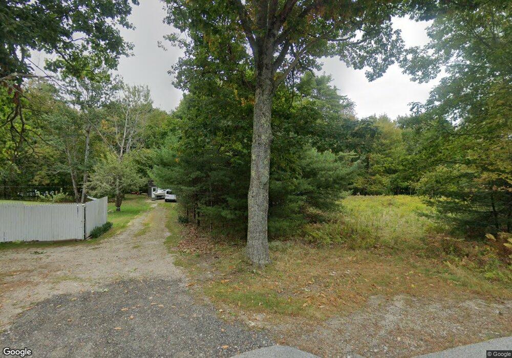
1838 Royalsborough Rd Durham, ME 04222
Estimated Value: $318,404 - $497,000
3
Beds
1
Bath
960
Sq Ft
$415/Sq Ft
Est. Value
About This Home
This home is located at 1838 Royalsborough Rd, Durham, ME 04222 and is currently estimated at $398,351, approximately $414 per square foot. 1838 Royalsborough Rd is a home with nearby schools including Durham Community School, Freeport High School, and Pine Tree Academy.
Ownership History
Date
Name
Owned For
Owner Type
Purchase Details
Closed on
Dec 15, 2020
Sold by
Kakalis Josephine M
Bought by
Kakalis Josephine M and Kakalis Christopher J
Current Estimated Value
Home Financials for this Owner
Home Financials are based on the most recent Mortgage that was taken out on this home.
Original Mortgage
$127,500
Outstanding Balance
$112,198
Interest Rate
2.7%
Mortgage Type
New Conventional
Estimated Equity
$286,153
Create a Home Valuation Report for This Property
The Home Valuation Report is an in-depth analysis detailing your home's value as well as a comparison with similar homes in the area
Home Values in the Area
Average Home Value in this Area
Purchase History
| Date | Buyer | Sale Price | Title Company |
|---|---|---|---|
| Kakalis Josephine M | -- | None Available | |
| Kakalis Josephine M | -- | None Available |
Source: Public Records
Mortgage History
| Date | Status | Borrower | Loan Amount |
|---|---|---|---|
| Open | Kakalis Josephine M | $127,500 | |
| Closed | Kakalis Josephine M | $127,500 |
Source: Public Records
Tax History
| Year | Tax Paid | Tax Assessment Tax Assessment Total Assessment is a certain percentage of the fair market value that is determined by local assessors to be the total taxable value of land and additions on the property. | Land | Improvement |
|---|---|---|---|---|
| 2024 | $2,919 | $134,200 | $56,500 | $77,700 |
| 2023 | $2,865 | $134,200 | $56,500 | $77,700 |
| 2022 | $2,778 | $134,200 | $56,500 | $77,700 |
| 2021 | $2,778 | $134,200 | $56,500 | $77,700 |
| 2020 | $2,718 | $134,200 | $56,500 | $77,700 |
| 2019 | $2,718 | $134,200 | $56,500 | $77,700 |
| 2018 | $2,644 | $134,200 | $56,500 | $77,700 |
| 2016 | $2,523 | $134,200 | $56,500 | $77,700 |
| 2015 | $2,335 | $134,200 | $56,500 | $77,700 |
| 2014 | $2,234 | $134,200 | $56,500 | $77,700 |
| 2013 | $2,006 | $134,200 | $56,500 | $77,700 |
Source: Public Records
Map
Nearby Homes
- 1842 Royalsborough Rd
- 1814 Royalsborough Rd
- 1857 Royalsborough Rd
- 108 Grant Rd
- 1810 Royalsborough Rd
- 1862 Royalsborough Rd
- 1818 Royalsborough Rd
- 1815 Royalsborough Rd
- 1804 Royalsborough Rd
- 98 Grant Rd
- 1874 Royalsborough Rd
- 1803 Royalsborough Rd
- 1794 Royalsborough Rd
- 1875 Royalsborough Rd
- 1883 Royalsborough Rd
- 87 Brown Rd
- 1790 Royalsborough Rd
- 97 Grant Rd
- 43 Brown Rd
- 1789 Royalsborough Rd
Your Personal Tour Guide
Ask me questions while you tour the home.