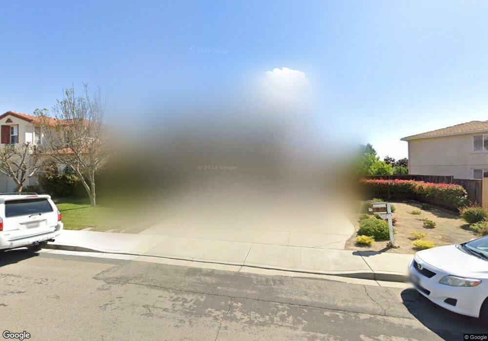
1839 Sanger Peak Way Antioch, CA 94531
Lone Tree Valley NeighborhoodEstimated Value: $665,000 - $791,000
5
Beds
3
Baths
2,440
Sq Ft
$295/Sq Ft
Est. Value
About This Home
This home is located at 1839 Sanger Peak Way, Antioch, CA 94531 and is currently estimated at $720,463, approximately $295 per square foot. 1839 Sanger Peak Way is a home located in Contra Costa County with nearby schools including Lone Tree Elementary School, Dallas Ranch Middle School, and Deer Valley High School.
Ownership History
Date
Name
Owned For
Owner Type
Purchase Details
Closed on
Aug 13, 2002
Sold by
Black Diamond Knolls Ltd
Bought by
Manansala Louie
Current Estimated Value
Home Financials for this Owner
Home Financials are based on the most recent Mortgage that was taken out on this home.
Original Mortgage
$255,200
Outstanding Balance
$99,848
Interest Rate
5.5%
Mortgage Type
Purchase Money Mortgage
Estimated Equity
$620,615
Create a Home Valuation Report for This Property
The Home Valuation Report is an in-depth analysis detailing your home's value as well as a comparison with similar homes in the area
Home Values in the Area
Average Home Value in this Area
Purchase History
| Date | Buyer | Sale Price | Title Company |
|---|---|---|---|
| Manansala Louie | $319,000 | Old Republic Title Company |
Source: Public Records
Mortgage History
| Date | Status | Borrower | Loan Amount |
|---|---|---|---|
| Open | Manansala Louie | $255,200 |
Source: Public Records
Tax History Compared to Growth
Tax History
| Year | Tax Paid | Tax Assessment Tax Assessment Total Assessment is a certain percentage of the fair market value that is determined by local assessors to be the total taxable value of land and additions on the property. | Land | Improvement |
|---|---|---|---|---|
| 2025 | $5,472 | $477,055 | $152,063 | $324,992 |
| 2024 | $5,276 | $467,702 | $149,082 | $318,620 |
| 2023 | $5,276 | $458,532 | $146,159 | $312,373 |
| 2022 | $5,193 | $449,543 | $143,294 | $306,249 |
| 2021 | $5,037 | $440,730 | $140,485 | $300,245 |
| 2019 | $4,925 | $427,660 | $136,319 | $291,341 |
| 2018 | $4,738 | $419,276 | $133,647 | $285,629 |
| 2017 | $4,641 | $411,056 | $131,027 | $280,029 |
| 2016 | $4,530 | $402,997 | $128,458 | $274,539 |
| 2015 | $4,516 | $367,000 | $116,984 | $250,016 |
| 2014 | $5,205 | $354,000 | $112,840 | $241,160 |
Source: Public Records
Map
Nearby Homes
- 2401 Silveria Way
- 4604 Coal Hill Place
- 2344 Forty Niner Ct
- 1964 Finger Peak Way
- 2498 Taylor Way
- 1879 Mount Conness Way
- 2510 Vallecito Way
- 1928 Badger Pass Way
- 2721 Vallejo Ct
- 2201 Mark Twain Dr
- 5488 Southwood Ct
- 1333 Mokelumne Dr
- 5243 Delta View Way
- 5448 Southwood Way
- Residence 2 Plan at Deer Valley
- Residence 6 Plan at Deer Valley
- Residence 4 Plan at Deer Valley
- Residence 1 Plan at Deer Valley
- Residence 3 Plan at Deer Valley
- Residence 5 Plan at Deer Valley
- 1843 Sanger Peak Way
- 2071 Mount Oso Ct
- 1847 Sanger Peak Way
- 2075 Mount Oso Ct
- 1831 Sanger Peak Way
- 1838 Sanger Peak Way
- 1842 Sanger Peak Way
- 1851 Sanger Peak Way
- 1834 Sanger Peak Way
- 1846 Sanger Peak Way
- 1827 Sanger Peak Way
- 2067 Mount Oso Ct
- 2079 Mount Oso Ct
- 1830 Sanger Peak Way
- 1850 Sanger Peak Way
- 1826 Sanger Peak Way
- 1822 Sanger Peak Way
- 1855 Sanger Peak Way
- 1847 Mount Goethe Way
- 1843 Mount Goethe Way