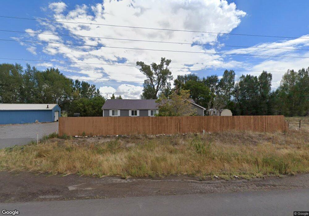
18390 Highway 550 Montrose, CO 81403
Estimated Value: $559,000 - $832,000
3
Beds
2
Baths
1,941
Sq Ft
$360/Sq Ft
Est. Value
About This Home
This home is located at 18390 Highway 550, Montrose, CO 81403 and is currently estimated at $699,333, approximately $360 per square foot. 18390 Highway 550 is a home located in Montrose County with nearby schools including Cottonwood Elementary School, Columbine Middle School, and Montrose High School.
Ownership History
Date
Name
Owned For
Owner Type
Purchase Details
Closed on
May 17, 2002
Sold by
Fansler David Alan Pr Fansler Sharon L
Bought by
Fansler David Alan
Current Estimated Value
Purchase Details
Closed on
Jul 14, 1998
Sold by
Self William E and Self Loreen K
Bought by
Fansler David Alan and Fansler Sharon Lee
Purchase Details
Closed on
May 9, 1988
Sold by
Kunkel Katherine M
Bought by
Self William E and Self Loreen K
Purchase Details
Closed on
Jun 3, 1987
Sold by
Keep Gladys M
Bought by
Kunkel Katherine M
Purchase Details
Closed on
May 8, 1943
Sold by
Ferguson Walker
Bought by
Bishop Jack L and Bishop Gladys M
Create a Home Valuation Report for This Property
The Home Valuation Report is an in-depth analysis detailing your home's value as well as a comparison with similar homes in the area
Home Values in the Area
Average Home Value in this Area
Purchase History
| Date | Buyer | Sale Price | Title Company |
|---|---|---|---|
| Fansler David Alan | -- | -- | |
| Fansler David Alan | $163,500 | -- | |
| Self William E | $48,000 | -- | |
| Kunkel Katherine M | -- | -- | |
| Bishop Jack L | -- | -- |
Source: Public Records
Tax History Compared to Growth
Tax History
| Year | Tax Paid | Tax Assessment Tax Assessment Total Assessment is a certain percentage of the fair market value that is determined by local assessors to be the total taxable value of land and additions on the property. | Land | Improvement |
|---|---|---|---|---|
| 2024 | $3,070 | $43,110 | $12,650 | $30,460 |
| 2023 | $3,341 | $48,550 | $14,250 | $34,300 |
| 2022 | $2,274 | $33,040 | $9,560 | $23,480 |
| 2021 | $2,343 | $33,990 | $9,830 | $24,160 |
| 2020 | $1,882 | $28,050 | $8,940 | $19,110 |
| 2019 | $1,894 | $28,050 | $8,940 | $19,110 |
| 2018 | $1,644 | $23,750 | $6,430 | $17,320 |
| 2017 | $1,631 | $23,750 | $6,430 | $17,320 |
| 2016 | $1,605 | $23,770 | $6,460 | $17,310 |
| 2015 | $1,577 | $23,770 | $6,460 | $17,310 |
| 2014 | $1,391 | $22,440 | $6,460 | $15,980 |
Source: Public Records
Map
Nearby Homes
- 18563 U S 550
- Lot 3 Solar Rd
- Lot 1 Solar Rd
- Lot 2 Solar Rd
- 19063 U S 550
- 18512 6500 Rd
- 66595 Kinikin Rd
- 65499 Solar Rd
- 66182 Crestview Dr
- 65536 Solar Rd
- 4117 Waterfall Dr
- 19438 6495 Trail
- 66356 Otter Rd
- 16885 Wildwood Dr
- TBD Woodgate Rd
- 66711 Otter Rd
- 1728 Keller Ct
- 1712 Keller Ct
- TBD S Hwy 550 & Otter Rd
- 17017 6725 Rd
- 18476 S Highway 550
- 18328 6600 Rd
- 66078 Riverside Rd
- 66176 Riverside Rd
- 0 Tbd Riverside Rd
- TBD Riverside Rd
- 18425 6600 Rd
- 18545 Highway 550
- 66190 Riverside Rd
- 18265 Highway 550
- 18570 Highway 550
- 18570 U S 550
- 66363 Raspberry Ln
- 18600 U S 550
- 66366 Raspberry Ln
- 18600 S Highway 550
- 18549 6600 Rd
- 18162 Woodgate Rd
- 0 Raspberry Ln
- 66385 Raspberry Ln