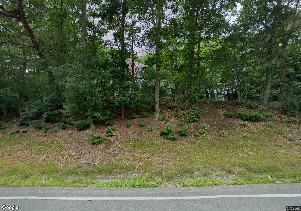
184 Barlows Landing Rd Pocasset, MA 02559
Pocasset NeighborhoodEstimated Value: $610,000 - $759,000
3
Beds
2
Baths
1,500
Sq Ft
$450/Sq Ft
Est. Value
About This Home
This home is located at 184 Barlows Landing Rd, Pocasset, MA 02559 and is currently estimated at $674,463, approximately $449 per square foot. 184 Barlows Landing Rd is a home located in Barnstable County with nearby schools including Bourne High School, Cadence Academy Preschool - Bourne, and St Margaret Regional School.
Ownership History
Date
Name
Owned For
Owner Type
Purchase Details
Closed on
Jan 4, 2005
Sold by
Schroeder Eugene M and Bowersox Roger L
Bought by
Buford Erik J and Buford Tannise D
Current Estimated Value
Home Financials for this Owner
Home Financials are based on the most recent Mortgage that was taken out on this home.
Original Mortgage
$289,000
Outstanding Balance
$143,740
Interest Rate
5.73%
Mortgage Type
Purchase Money Mortgage
Estimated Equity
$530,723
Purchase Details
Closed on
Sep 8, 2000
Sold by
Breen Stanley and Breen Frances T
Bought by
Schroeder Eugene M and Bowersox Roger L
Create a Home Valuation Report for This Property
The Home Valuation Report is an in-depth analysis detailing your home's value as well as a comparison with similar homes in the area
Home Values in the Area
Average Home Value in this Area
Purchase History
| Date | Buyer | Sale Price | Title Company |
|---|---|---|---|
| Buford Erik J | $340,000 | -- | |
| Buford Erik J | $340,000 | -- | |
| Schroeder Eugene M | $160,000 | -- | |
| Schroeder Eugene M | $160,000 | -- |
Source: Public Records
Mortgage History
| Date | Status | Borrower | Loan Amount |
|---|---|---|---|
| Open | Buford Erik J | $289,000 | |
| Closed | Schroeder Eugene M | $289,000 | |
| Previous Owner | Schroeder Eugene M | $192,000 | |
| Previous Owner | Schroeder Eugene M | $32,000 |
Source: Public Records
Tax History Compared to Growth
Tax History
| Year | Tax Paid | Tax Assessment Tax Assessment Total Assessment is a certain percentage of the fair market value that is determined by local assessors to be the total taxable value of land and additions on the property. | Land | Improvement |
|---|---|---|---|---|
| 2025 | $3,719 | $476,200 | $184,600 | $291,600 |
| 2024 | $3,708 | $462,300 | $184,500 | $277,800 |
| 2023 | $3,604 | $409,100 | $163,300 | $245,800 |
| 2022 | $3,427 | $339,600 | $144,500 | $195,100 |
| 2021 | $3,328 | $309,000 | $131,500 | $177,500 |
| 2020 | $3,232 | $300,900 | $130,300 | $170,600 |
| 2019 | $3,062 | $291,300 | $130,300 | $161,000 |
| 2018 | $3,003 | $284,900 | $124,100 | $160,800 |
| 2017 | $2,885 | $280,100 | $122,900 | $157,200 |
| 2016 | $2,748 | $270,500 | $117,100 | $153,400 |
| 2015 | $2,547 | $252,900 | $99,500 | $153,400 |
Source: Public Records
Map
Nearby Homes
- 2 Observatory Ln
- 180 Barlows Landing Rd
- 5 Observatory Ln
- 183 Barlows Landing Rd
- 3 Observatory Ln
- 9 Observatory Ln
- 189 Barlows Landing Rd
- 12 Observatory Ln
- 181 Barlows Landing Rd
- 191 Barlows Landing Rd
- 188 Barlows Landing Rd
- 3 Mcalister St
- 11 Observatory Ln
- 721 County Rd
- 170 Barlows Landing Rd
- 175 Barlows Landing Rd
- 15 Observatory Ln
- 3 Mcalister St
- 171 Barlows Landing Rd
- 17 Observatory Ln