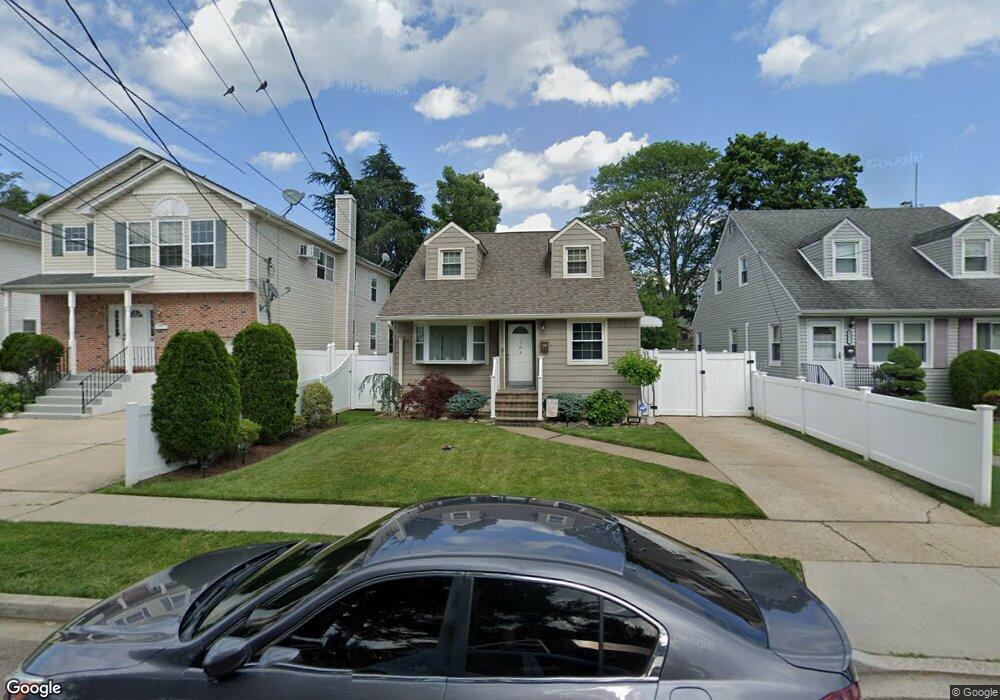
184 Beverly Rd Hempstead, NY 11550
Estimated Value: $680,300 - $696,000
Studio
1
Bath
1,203
Sq Ft
$572/Sq Ft
Est. Value
About This Home
This home is located at 184 Beverly Rd, Hempstead, NY 11550 and is currently estimated at $688,150, approximately $572 per square foot. 184 Beverly Rd is a home located in Nassau County with nearby schools including California Avenue Elementary School, Lawrence Road Middle School, and Uniondale High School.
Ownership History
Date
Name
Owned For
Owner Type
Purchase Details
Closed on
Jan 24, 2013
Sold by
Hu Hui Qing
Bought by
Rodriguez Hector E and Rodriguez Diane M
Current Estimated Value
Home Financials for this Owner
Home Financials are based on the most recent Mortgage that was taken out on this home.
Original Mortgage
$289,656
Outstanding Balance
$203,233
Interest Rate
3.49%
Mortgage Type
FHA
Estimated Equity
$484,917
Purchase Details
Closed on
May 27, 2011
Sold by
Mrs Property Management Llc
Bought by
Hu Hui Qing
Purchase Details
Closed on
May 14, 1996
Sold by
Keefe James Jr Ref
Bought by
Fgb Realty Advisors Inc
Create a Home Valuation Report for This Property
The Home Valuation Report is an in-depth analysis detailing your home's value as well as a comparison with similar homes in the area
Home Values in the Area
Average Home Value in this Area
Purchase History
| Date | Buyer | Sale Price | Title Company |
|---|---|---|---|
| Rodriguez Hector E | -- | -- | |
| Hu Hui Qing | $155,000 | -- | |
| Fgb Realty Advisors Inc | $146,973 | -- |
Source: Public Records
Mortgage History
| Date | Status | Borrower | Loan Amount |
|---|---|---|---|
| Open | Rodriguez Hector E | $289,656 |
Source: Public Records
Tax History
| Year | Tax Paid | Tax Assessment Tax Assessment Total Assessment is a certain percentage of the fair market value that is determined by local assessors to be the total taxable value of land and additions on the property. | Land | Improvement |
|---|---|---|---|---|
| 2025 | $5,879 | $380 | $119 | $261 |
| 2024 | $1,018 | $385 | $121 | $264 |
Source: Public Records
Map
Nearby Homes
- 178 Rutland Rd
- 183 Perry St
- 203 Rutland Rd
- 399 Hawthorne Ave
- 355 Jerusalem Ave
- 363 Clarendon Rd
- 305 Crowell St
- 63 Elmwood Ave
- 41 Perry St
- 602 Leonard Ave
- 14 Roger St
- 132 Duncan Rd
- 678 Front St Unit E
- 119 Broadfield Rd
- 676 Front St Unit F
- 664 Clinton Ave
- 122 Hamilton Rd
- 172 Argyle Ave
- 27 Elizabeth Ct
- 160 Argyle Ave
Your Personal Tour Guide
Ask me questions while you tour the home.