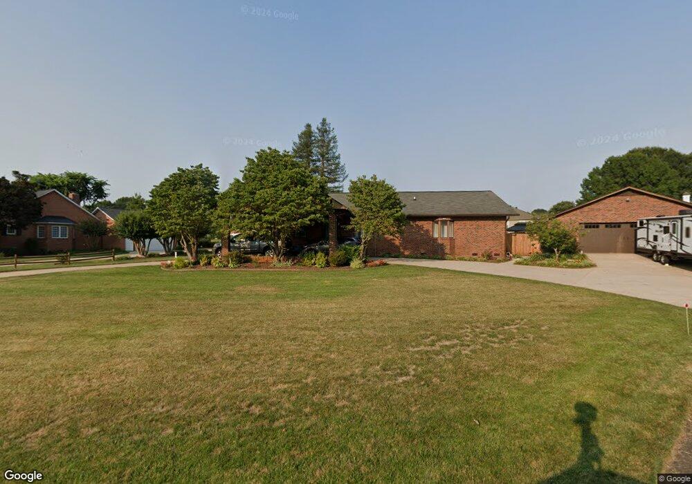
184 Billy Jo Rd Unit 61 Mooresville, NC 28117
Estimated Value: $655,000 - $786,000
3
Beds
3
Baths
2,766
Sq Ft
$253/Sq Ft
Est. Value
About This Home
This home is located at 184 Billy Jo Rd Unit 61, Mooresville, NC 28117 and is currently estimated at $699,583, approximately $252 per square foot. 184 Billy Jo Rd Unit 61 is a home located in Iredell County with nearby schools including Lake Norman Elementary School and Lake Norman High School.
Ownership History
Date
Name
Owned For
Owner Type
Purchase Details
Closed on
Nov 28, 2017
Sold by
Burum Robert P and Burum Michele
Bought by
Rankin Nancy Burgin and Rankin Terry Allen
Current Estimated Value
Home Financials for this Owner
Home Financials are based on the most recent Mortgage that was taken out on this home.
Original Mortgage
$319,500
Outstanding Balance
$268,782
Interest Rate
3.91%
Mortgage Type
New Conventional
Estimated Equity
$430,801
Purchase Details
Closed on
May 1, 1996
Purchase Details
Closed on
Nov 1, 1985
Purchase Details
Closed on
Jun 1, 1981
Create a Home Valuation Report for This Property
The Home Valuation Report is an in-depth analysis detailing your home's value as well as a comparison with similar homes in the area
Home Values in the Area
Average Home Value in this Area
Purchase History
| Date | Buyer | Sale Price | Title Company |
|---|---|---|---|
| Rankin Nancy Burgin | $355,000 | None Available | |
| -- | -- | -- | |
| -- | $10,000 | -- | |
| -- | -- | -- |
Source: Public Records
Mortgage History
| Date | Status | Borrower | Loan Amount |
|---|---|---|---|
| Open | Rankin Nancy Burgin | $319,500 |
Source: Public Records
Tax History Compared to Growth
Tax History
| Year | Tax Paid | Tax Assessment Tax Assessment Total Assessment is a certain percentage of the fair market value that is determined by local assessors to be the total taxable value of land and additions on the property. | Land | Improvement |
|---|---|---|---|---|
| 2024 | $2,631 | $435,760 | $100,000 | $335,760 |
| 2023 | $2,631 | $435,760 | $100,000 | $335,760 |
| 2022 | $1,968 | $304,070 | $70,000 | $234,070 |
| 2021 | $1,964 | $304,070 | $70,000 | $234,070 |
| 2020 | $1,964 | $304,070 | $70,000 | $234,070 |
| 2019 | $1,934 | $304,070 | $70,000 | $234,070 |
| 2018 | $1,584 | $256,320 | $70,000 | $186,320 |
| 2017 | $1,584 | $256,320 | $70,000 | $186,320 |
| 2016 | $1,584 | $256,320 | $70,000 | $186,320 |
| 2015 | $1,584 | $256,320 | $70,000 | $186,320 |
| 2014 | $1,539 | $267,860 | $70,000 | $197,860 |
Source: Public Records
Map
Nearby Homes
- 169 Spring Run Dr
- 132 Broadbill Dr
- 133 Broadbill Dr
- 122 Ringneck Trail
- 147 Old Squaw Rd
- 194 Ringneck Trail
- 105 Crystal Cir
- 315 Wood Duck Loop
- 258 Crystal Cir
- 110 Old Squaw Rd
- 406 Canvasback Rd
- 267 Spring Run Dr
- 109 Topaz Place
- 273 Spring Run Rd
- 145 Bridlepath Ln
- 109 Dabbling Duck Cir
- 106 Chatworth Ln
- 174 Woodstream Cir
- 160 Hazelton Loop
- 1041 Brawley School Rd
- 184 Billy Jo Rd
- 173 Billy Jo Rd
- 189 Billy Jo Rd
- 310 Canvasback Rd
- 314 Canvasback Rd
- 167 Billy Jo Rd
- 304 Canvasback Rd
- LOT 17 Canvasback Rd
- LOT 15 Canvasback Rd
- LOT 18 Canvasback Rd
- LOT 16 Canvasback Rd
- Lot 38 Canvasback Rd
- 000 Canvasback Rd Unit 107
- 320 Canvasback Rd
- 298 Canvasback Rd
- 161 Billy Jo Rd
- 158 Billy Jo Rd
- 0 Pintail Rd
- 326 Canvasback Rd
- 292 Canvasback Rd