184 Bob Hazelwood Rd Humboldt, TN 38343
Estimated Value: $536,000 - $716,000
5
Beds
3
Baths
2,800
Sq Ft
$219/Sq Ft
Est. Value
About This Home
This home is located at 184 Bob Hazelwood Rd, Humboldt, TN 38343 and is currently estimated at $613,162, approximately $218 per square foot. 184 Bob Hazelwood Rd is a home located in Gibson County with nearby schools including South Gibson County Elementary School, South Gibson County Middle School, and South Gibson County High School.
Ownership History
Date
Name
Owned For
Owner Type
Purchase Details
Closed on
Nov 2, 2012
Sold by
Warrington Randall Roe
Bought by
Alford Jason and Alford Brandy
Current Estimated Value
Home Financials for this Owner
Home Financials are based on the most recent Mortgage that was taken out on this home.
Original Mortgage
$284,750
Outstanding Balance
$196,156
Interest Rate
3.4%
Mortgage Type
Commercial
Estimated Equity
$417,006
Purchase Details
Closed on
Jun 1, 2006
Sold by
Warrington J W
Bought by
Warrington Emily R
Purchase Details
Closed on
Jan 1, 1985
Bought by
Warrington Warrington J and Warrington Helen
Create a Home Valuation Report for This Property
The Home Valuation Report is an in-depth analysis detailing your home's value as well as a comparison with similar homes in the area
Home Values in the Area
Average Home Value in this Area
Purchase History
| Date | Buyer | Sale Price | Title Company |
|---|---|---|---|
| Alford Jason | $335,000 | -- | |
| Warrington Emily R | -- | -- | |
| Warrington Warrington J | $2,500 | -- |
Source: Public Records
Mortgage History
| Date | Status | Borrower | Loan Amount |
|---|---|---|---|
| Open | Alford Jason | $284,750 |
Source: Public Records
Tax History Compared to Growth
Tax History
| Year | Tax Paid | Tax Assessment Tax Assessment Total Assessment is a certain percentage of the fair market value that is determined by local assessors to be the total taxable value of land and additions on the property. | Land | Improvement |
|---|---|---|---|---|
| 2025 | $2,433 | $113,350 | $0 | $0 |
| 2024 | $2,433 | $113,350 | $16,500 | $96,850 |
| 2023 | $2,107 | $67,725 | $12,575 | $55,150 |
| 2022 | $2,060 | $67,725 | $12,575 | $55,150 |
| 2021 | $2,060 | $67,725 | $12,575 | $55,150 |
| 2020 | $2,060 | $67,725 | $12,575 | $55,150 |
| 2019 | $2,060 | $67,725 | $12,575 | $55,150 |
| 2018 | $2,135 | $67,550 | $11,175 | $56,375 |
| 2017 | $2,101 | $67,550 | $11,175 | $56,375 |
| 2016 | $2,101 | $67,550 | $11,175 | $56,375 |
| 2015 | -- | $67,550 | $11,175 | $56,375 |
| 2014 | -- | $62,650 | $11,175 | $51,475 |
Source: Public Records
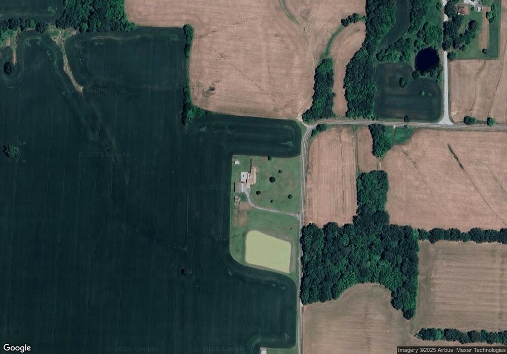
Map
Nearby Homes
- 290 Tennessee 420
- 00 Humboldt Gibson Hwy
- 0 Humboldt Hwy
- 3112 Doe Trail Cove
- 00 Mag Duffy St
- 424 Rozelle St
- 0 Tennessee 186
- 1532 Mag Duffy St
- 00 N Central Ave
- 2834 N Central Ave
- 0 Viking Dr
- 00 Davenport Rd
- 1549 Eastview Dr
- Tract #6 Davenport Rd
- 0 Eastend Dr
- 2998 N Central Ave
- 2310 Dodson St
- 00 Central Ave
- 1730 Stallings Rd
- 0 Highway 45 Bypass
- 208 Bob Hazelwood Rd
- 51 Paul Price Rd
- 215 White Bros Rd
- 178 White Bros Rd
- 193 White Bros Rd Unit 195
- 19 Paul Price Rd
- 316 Tennessee 420
- 316 State Route 420
- 179 Luck Madden Rd
- 215 Luck Madden Rd
- 237 Luck Madden Rd
- 120 Bob Hazelwood Rd
- 0 Paul Price Rd Unit 242657
- 0 Paul Price Rd
- 00 Paul Price Rd
- 243 Luck Madden Rd
- 290 State Route 420
- 292 State Route 420
- 31 Breece Rd
- 107 Bob Hazelwood Rd