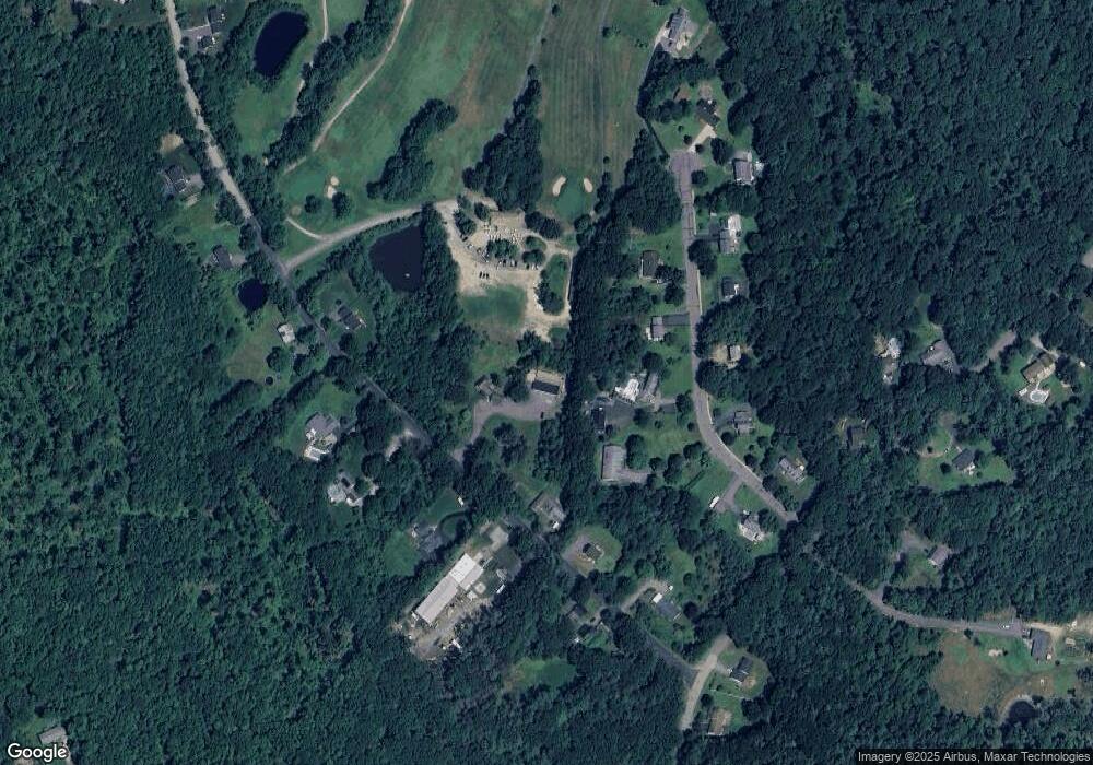
184 Brooks Rd Templeton, MA 01468
Estimated Value: $427,632
Studio
2
Baths
--
Sq Ft
2.3
Acres
About This Home
This home is located at 184 Brooks Rd, Templeton, MA 01468 and is currently estimated at $427,632. 184 Brooks Rd is a home located in Worcester County with nearby schools including Narragansett Regional High School.
Ownership History
Date
Name
Owned For
Owner Type
Purchase Details
Closed on
Feb 24, 2022
Sold by
T J & E R Kosakowski Irt
Bought by
Brodeur Adam P
Current Estimated Value
Purchase Details
Closed on
Jan 9, 2014
Sold by
Kosakowski Thomas J and Kosakowski Edith R
Bought by
T J & E R Kosakowski Irt
Purchase Details
Closed on
May 3, 1979
Bought by
Thomas & E Koskowski Ret
Create a Home Valuation Report for This Property
The Home Valuation Report is an in-depth analysis detailing your home's value as well as a comparison with similar homes in the area
Home Values in the Area
Average Home Value in this Area
Purchase History
| Date | Buyer | Sale Price | Title Company |
|---|---|---|---|
| Brodeur Adam P | $350,000 | None Available | |
| Brodeur Adam P | $350,000 | None Available | |
| T J & E R Kosakowski Irt | -- | -- | |
| Thomas & E Koskowski Ret | -- | -- |
Source: Public Records
Mortgage History
| Date | Status | Borrower | Loan Amount |
|---|---|---|---|
| Previous Owner | Thomas & E Koskowski Ret | $40,000 |
Source: Public Records
Tax History
| Year | Tax Paid | Tax Assessment Tax Assessment Total Assessment is a certain percentage of the fair market value that is determined by local assessors to be the total taxable value of land and additions on the property. | Land | Improvement |
|---|---|---|---|---|
| 2025 | $5,755 | $474,800 | $61,700 | $413,100 |
| 2024 | $6,096 | $483,800 | $54,700 | $429,100 |
| 2023 | $5,882 | $455,300 | $54,700 | $400,600 |
| 2022 | $5,791 | $380,000 | $39,900 | $340,100 |
| 2021 | $5,663 | $351,500 | $39,900 | $311,600 |
| 2020 | $5,493 | $326,400 | $39,900 | $286,500 |
| 2018 | $5,034 | $301,100 | $36,100 | $265,000 |
| 2017 | $4,768 | $295,800 | $36,100 | $259,700 |
| 2016 | $4,669 | $283,500 | $36,100 | $247,400 |
| 2015 | $4,455 | $267,700 | $38,800 | $228,900 |
| 2014 | $4,234 | $260,700 | $38,800 | $221,900 |
Source: Public Records
Map
Nearby Homes
- 203 Brooks Rd
- 34 Albert Dr
- 277 Baldwinville Rd
- 9 Lily Ln
- 0 Mill St Unit 5033403
- 0 Mill St Unit 5007531
- 0 Mill St Unit 4996202
- 0 Mill St Unit 21522962
- 12 Otter River Rd
- 39 Highland Ave
- 3 Lots Mill St
- 12 Lots on Mill St
- 12 Lots for Sale On Mill St
- 0 12 Lots for Sale On Mill St Unit multiple, see brochu
- 10 Baldwinville Rd
- 0 Gardner Rd Unit Applewood
- 0 Gardner Rd Unit Willow
- 457 Patriots Rd
- Lot 2 S Royalston Rd
- 5 Circle St
- 22 Pheasant Ln
- 16 Pheasant Ln
- 28 Pheasant Ln
- 196 Brooks Rd
- 0 Brooks Rd Unit 72273222
- 0 Brooks Rd Unit 72189504
- 0 Brooks Rd Unit 70718801
- 0 Brooks Rd Unit 70888680
- 0 Brooks Rd Unit 71059063
- 0 Brooks Rd Unit 71130264
- 0 Brooks Rd Unit 71276803
- 0 Brooks Rd Unit 71400060
- 0 Brooks Rd Unit 71895819
- 0 Brooks Rd Unit 72029709
- 0 Brooks Rd Unit 70650061
- 0 Brooks Rd Unit 72619958
- 36 Pheasant Ln
- 00 Brooks Rd
- Lot 9 Brooks Rd
- 200 Brooks Rd
Your Personal Tour Guide
Ask me questions while you tour the home.
