184 Coe Hill Rd Center Harbor, NH 03226
Center Harbor NeighborhoodEstimated Value: $605,158 - $820,000
4
Beds
3
Baths
3,378
Sq Ft
$210/Sq Ft
Est. Value
About This Home
This home is located at 184 Coe Hill Rd, Center Harbor, NH 03226 and is currently estimated at $710,540, approximately $210 per square foot. 184 Coe Hill Rd is a home located in Belknap County with nearby schools including Inter-Lakes Elementary School and Immaculate Conception Apostolic School.
Ownership History
Date
Name
Owned For
Owner Type
Purchase Details
Closed on
Jul 21, 2004
Sold by
Haley Sandra M
Bought by
Avrutine Anthony and Avrutine Sharon
Current Estimated Value
Home Financials for this Owner
Home Financials are based on the most recent Mortgage that was taken out on this home.
Original Mortgage
$200,000
Interest Rate
6.28%
Mortgage Type
Purchase Money Mortgage
Create a Home Valuation Report for This Property
The Home Valuation Report is an in-depth analysis detailing your home's value as well as a comparison with similar homes in the area
Home Values in the Area
Average Home Value in this Area
Purchase History
| Date | Buyer | Sale Price | Title Company |
|---|---|---|---|
| Avrutine Anthony | $276,000 | -- |
Source: Public Records
Mortgage History
| Date | Status | Borrower | Loan Amount |
|---|---|---|---|
| Open | Avrutine Anthony | $825,000 | |
| Closed | Avrutine Anthony | $35,000 | |
| Closed | Avrutine Anthony | $25,000 | |
| Closed | Avrutine Anthony | $200,000 |
Source: Public Records
Tax History Compared to Growth
Tax History
| Year | Tax Paid | Tax Assessment Tax Assessment Total Assessment is a certain percentage of the fair market value that is determined by local assessors to be the total taxable value of land and additions on the property. | Land | Improvement |
|---|---|---|---|---|
| 2024 | $3,882 | $363,100 | $113,900 | $249,200 |
| 2023 | $3,558 | $363,100 | $113,900 | $249,200 |
| 2022 | $3,264 | $363,100 | $113,900 | $249,200 |
| 2021 | $4,039 | $264,500 | $85,400 | $179,100 |
| 2020 | $4,055 | $264,500 | $85,400 | $179,100 |
| 2019 | $4,026 | $264,500 | $85,400 | $179,100 |
| 2018 | $3,793 | $264,500 | $85,400 | $179,100 |
| 2017 | $3,671 | $264,500 | $85,400 | $179,100 |
| 2016 | $3,660 | $254,500 | $63,400 | $191,100 |
| 2015 | $3,660 | $254,500 | $63,400 | $191,100 |
| 2013 | $3,357 | $254,500 | $63,400 | $191,100 |
Source: Public Records
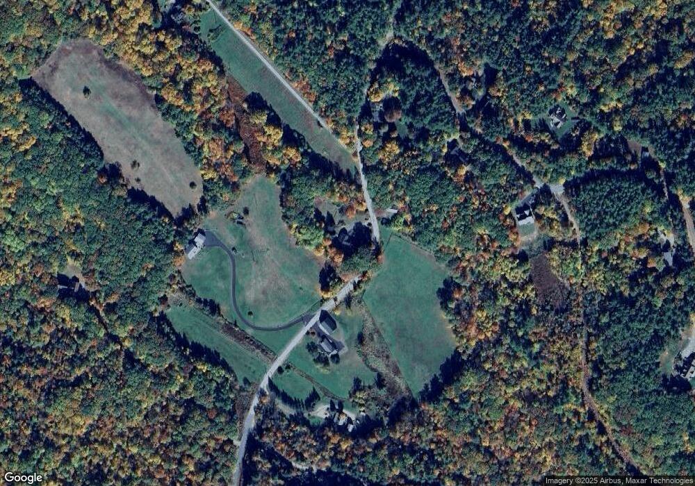
Map
Nearby Homes
- 24 Dew Point Ln
- 52 Chase Cir
- 00 Whittier Hwy Unit 8
- 00 Gilman Hill Rd Unit 1
- 38 Lake Shore Dr Unit 12
- 38 Lake Shore Dr Unit 10
- 320 Redding Ln
- 20 True Rd Unit 85
- 20 True Rd Unit 101
- 20 True Rd Unit 63
- 142 Nh Route 25
- 32 Boynton Rd
- 8 Kelly Ln
- 111 Nh Route 25
- 1 Little Beaver Island
- 22 Tiger Trail
- 30 Leopards Leap
- 7 Mudgett Ave
- 99 Pleasant St
- 203 Krainewood Dr
- 181 Coe Hill Rd
- 206 Coe Hill Rd
- 207 Coe Hill Rd
- 22 Butterfield Rd
- 163 Coe Hill Rd
- 8 Butterfield Hill Rd
- 8 Butterfield Rd
- 215 Coe Hill Rd
- 28 Butterfield Rd
- Lot 8 Butterfield Rd
- 19 Butterfield Rd
- 3 Lots Butterfield & Whittier Hwy
- 53 Butterfield Rd
- 0 Butterfield Rd Unit 70090247
- 0 Butterfield Rd Unit 2726085
- 168 Old Center Harbor Rd
- 172 Coe Hill Rd
- 165 Old Center Harbor Rd
- 58 Butterfield Rd
- 164 Old Center Harbor Rd