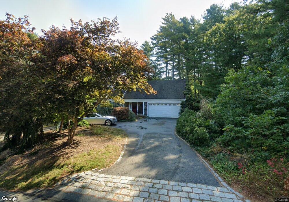
184 Eisenhower Dr Cotuit, MA 02635
Cotuit NeighborhoodEstimated Value: $835,000 - $954,000
3
Beds
3
Baths
2,337
Sq Ft
$381/Sq Ft
Est. Value
About This Home
This home is located at 184 Eisenhower Dr, Cotuit, MA 02635 and is currently estimated at $891,427, approximately $381 per square foot. 184 Eisenhower Dr is a home located in Barnstable County with nearby schools including West Villages Elementary School, Barnstable United Elementary School, and Barnstable Intermediate School.
Ownership History
Date
Name
Owned For
Owner Type
Purchase Details
Closed on
Oct 10, 2019
Sold by
Potter William J and Viveiros Lucia F
Bought by
Potter William J
Current Estimated Value
Purchase Details
Closed on
Sep 10, 2004
Sold by
Potter Elizabeth P
Bought by
Viveiros Lucia F
Home Financials for this Owner
Home Financials are based on the most recent Mortgage that was taken out on this home.
Original Mortgage
$320,000
Interest Rate
6.08%
Mortgage Type
Purchase Money Mortgage
Create a Home Valuation Report for This Property
The Home Valuation Report is an in-depth analysis detailing your home's value as well as a comparison with similar homes in the area
Home Values in the Area
Average Home Value in this Area
Purchase History
| Date | Buyer | Sale Price | Title Company |
|---|---|---|---|
| Potter William J | -- | -- | |
| Viveiros Lucia F | $400,000 | -- | |
| Potter Elizabeth P | -- | -- |
Source: Public Records
Mortgage History
| Date | Status | Borrower | Loan Amount |
|---|---|---|---|
| Previous Owner | Viveiros Lucia F | $320,000 |
Source: Public Records
Tax History
| Year | Tax Paid | Tax Assessment Tax Assessment Total Assessment is a certain percentage of the fair market value that is determined by local assessors to be the total taxable value of land and additions on the property. | Land | Improvement |
|---|---|---|---|---|
| 2025 | $6,474 | $775,300 | $181,700 | $593,600 |
| 2024 | $5,872 | $745,200 | $181,700 | $563,500 |
| 2023 | $5,713 | $682,500 | $179,500 | $503,000 |
| 2022 | $5,735 | $554,600 | $127,700 | $426,900 |
| 2021 | $5,524 | $500,300 | $127,700 | $372,600 |
| 2020 | $5,672 | $484,400 | $127,700 | $356,700 |
| 2019 | $5,358 | $451,000 | $127,700 | $323,300 |
| 2018 | $5,010 | $421,700 | $140,000 | $281,700 |
| 2017 | $4,833 | $409,600 | $140,000 | $269,600 |
| 2016 | $4,725 | $410,500 | $140,900 | $269,600 |
| 2015 | $4,508 | $391,300 | $138,600 | $252,700 |
Source: Public Records
Map
Nearby Homes
- 602 Putnam Ave
- 15 Geraldine Rd
- 54 Frazier Way
- 564 Cotuit Bay Dr
- 564 Cotuit Bay Dr
- 1415 Old Post Rd
- 165 Baxter Neck Rd
- 1597 Santuit-Newtown Rd
- 1820 Santuit Newtown Rd
- 1456 Santuit-Newtown Rd
- 552 Main St
- 240 Baxters Neck Rd
- 835 Old Post Rd
- 75 Bob White Run
- 135 Putnam Avenue (Land)
- 170 Forest Hills Rd
- 359 Baxter Neck Rd
- 71 Sand Point
- 78 Brittany Dr
- 804 Main St
- 172 Eisenhower Dr
- 196 Eisenhower Dr
- 656 Putnam Ave
- 642 Putnam Ave
- 668 Putnam Ave
- 175 Eisenhower Dr
- 189 Eisenhower Dr
- 25 Nixon Ave
- 208 Eisenhower Dr
- 203 Eisenhower Dr
- 626 Putnam Ave
- 678 Putnam Ave
- 161 Eisenhower Dr
- 108 Roosevelt Rd
- 54 Roosevelt Rd
- 66 Roosevelt Rd
- 222 Eisenhower Dr
- 614 Putnam Ave
- 40 Roosevelt Rd
- 145 Eisenhower Dr
Your Personal Tour Guide
Ask me questions while you tour the home.