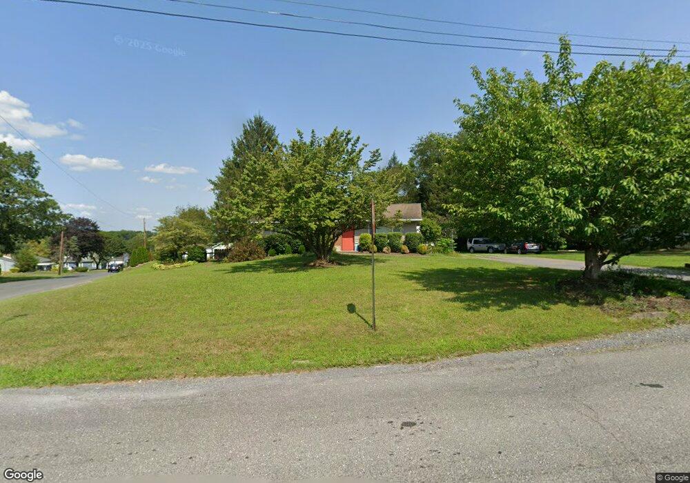
184 Mall Rd Lehighton, PA 18235
Estimated Value: $238,000 - $285,000
3
Beds
2
Baths
1,266
Sq Ft
$211/Sq Ft
Est. Value
About This Home
This home is located at 184 Mall Rd, Lehighton, PA 18235 and is currently estimated at $267,242, approximately $211 per square foot. 184 Mall Rd is a home located in Carbon County with nearby schools including Lehighton Area High School, Sts. Peter & Paul School, and Valley Ridge Academy.
Ownership History
Date
Name
Owned For
Owner Type
Purchase Details
Closed on
Dec 17, 2007
Sold by
Hartman Richard R and Hartman Lorraine A
Bought by
Hartman Brent
Current Estimated Value
Home Financials for this Owner
Home Financials are based on the most recent Mortgage that was taken out on this home.
Original Mortgage
$140,000
Interest Rate
6.3%
Mortgage Type
New Conventional
Create a Home Valuation Report for This Property
The Home Valuation Report is an in-depth analysis detailing your home's value as well as a comparison with similar homes in the area
Home Values in the Area
Average Home Value in this Area
Purchase History
| Date | Buyer | Sale Price | Title Company |
|---|---|---|---|
| Hartman Brent | -- | None Available |
Source: Public Records
Mortgage History
| Date | Status | Borrower | Loan Amount |
|---|---|---|---|
| Closed | Hartman Brent | $140,000 |
Source: Public Records
Tax History Compared to Growth
Tax History
| Year | Tax Paid | Tax Assessment Tax Assessment Total Assessment is a certain percentage of the fair market value that is determined by local assessors to be the total taxable value of land and additions on the property. | Land | Improvement |
|---|---|---|---|---|
| 2025 | $3,891 | $50,850 | $8,450 | $42,400 |
| 2024 | $3,738 | $50,850 | $8,450 | $42,400 |
| 2023 | $3,700 | $50,850 | $8,450 | $42,400 |
| 2022 | $3,649 | $50,850 | $8,450 | $42,400 |
| 2021 | $3,541 | $50,850 | $8,450 | $42,400 |
| 2020 | $3,452 | $50,850 | $8,450 | $42,400 |
| 2019 | $3,274 | $50,850 | $8,450 | $42,400 |
| 2018 | $3,236 | $50,850 | $8,450 | $42,400 |
| 2017 | $3,236 | $50,850 | $8,450 | $42,400 |
| 2016 | -- | $50,850 | $8,450 | $42,400 |
| 2015 | -- | $50,850 | $8,450 | $42,400 |
| 2014 | -- | $50,850 | $8,450 | $42,400 |
Source: Public Records
Map
Nearby Homes
- 410 S 8th St
- 0 Fredericks Grove Rd Unit 691615
- 0 Emily Plan at Summit Point Unit PACC2005480
- 0 Copper Beech Plan at Summit Ridge Unit PACC2005478
- 0 Black Cherry Plan at Summit Ridge Unit PACC2005474
- 0 Ridge
- 408 Bridge St
- 639 Iron St
- 522 Iron St
- 260 S 3rd St
- 515 Mahoning St
- 808 Coal St
- 0 Pine Hollow Unit PACC2006556
- 196 S 3rd St
- 134 Bridge St
- 236 S 2nd St
- 230 S 2nd St
- 470 N 8th St
- 8 Lentz Ave
- 119 S 3rd St
- 158 Mall Rd
- 360 Ashtown Dr
- 307 Ashtown Dr
- 336 Ashtown Dr
- 336 Ashtown Dr
- 142 Mall Rd
- 383 Ashtown Dr
- 304 Ashtown Dr
- 417 Ashtown Dr
- 271 Ashtown Dr
- 278 Ashtown Dr
- 414 Ashtown Dr
- 0 Ashtown Dr Unit 6710811
- 262 Ashtown Dr
- 427 Ashtown Dr
- 257 Ashtown Dr
- 243 Ashtown Dr
- 244 Ashtown Dr
- 465 Ashtown Dr
- 217 Ashtown Dr Unit 219