184 Mohawk Trail Gunnison, CO 81230
Estimated Value: $1,955,793 - $2,663,000
4
Beds
4
Baths
6,565
Sq Ft
$364/Sq Ft
Est. Value
About This Home
This home is located at 184 Mohawk Trail, Gunnison, CO 81230 and is currently estimated at $2,392,198, approximately $364 per square foot. 184 Mohawk Trail is a home located in Gunnison County with nearby schools including Gunnison Elementary School, Crested Butte Community School, and Gunnison Middle School.
Ownership History
Date
Name
Owned For
Owner Type
Purchase Details
Closed on
Jun 3, 2015
Sold by
Visosky Vincent L and Visosky Theresa M
Bought by
Fenlaw Rick H and Fenlaw Robin J
Current Estimated Value
Purchase Details
Closed on
Mar 11, 2013
Sold by
Leaning Tree Llc
Bought by
Visosky Vincent L and Visosky Theresa M
Purchase Details
Closed on
Apr 16, 2008
Sold by
Miller Paul David and Miller Patricia W
Bought by
Kraft John D and Kraft Denise A
Home Financials for this Owner
Home Financials are based on the most recent Mortgage that was taken out on this home.
Original Mortgage
$600,000
Interest Rate
5.12%
Mortgage Type
Adjustable Rate Mortgage/ARM
Purchase Details
Closed on
Feb 26, 2005
Sold by
Carroll Amelia J
Bought by
Miller Paul David and Miller Patricia W
Home Financials for this Owner
Home Financials are based on the most recent Mortgage that was taken out on this home.
Original Mortgage
$397,000
Interest Rate
5.66%
Mortgage Type
New Conventional
Purchase Details
Closed on
Jun 1, 2000
Sold by
Carroll Paul M
Bought by
Carroll Amelia J
Purchase Details
Closed on
Jun 9, 1992
Create a Home Valuation Report for This Property
The Home Valuation Report is an in-depth analysis detailing your home's value as well as a comparison with similar homes in the area
Home Values in the Area
Average Home Value in this Area
Purchase History
| Date | Buyer | Sale Price | Title Company |
|---|---|---|---|
| Fenlaw Rick H | $930,000 | Stewart Title | |
| Visosky Vincent L | -- | None Available | |
| Kraft John D | $830,000 | None Available | |
| Miller Paul David | $757,500 | None Available | |
| Carroll Amelia J | -- | -- | |
| -- | $50,000 | -- |
Source: Public Records
Mortgage History
| Date | Status | Borrower | Loan Amount |
|---|---|---|---|
| Previous Owner | Kraft John D | $600,000 | |
| Previous Owner | Miller Paul David | $397,000 |
Source: Public Records
Tax History Compared to Growth
Tax History
| Year | Tax Paid | Tax Assessment Tax Assessment Total Assessment is a certain percentage of the fair market value that is determined by local assessors to be the total taxable value of land and additions on the property. | Land | Improvement |
|---|---|---|---|---|
| 2024 | $5,681 | $112,480 | $11,560 | $100,920 |
| 2023 | $5,681 | $108,790 | $11,190 | $97,600 |
| 2022 | $3,412 | $57,020 | $9,860 | $47,160 |
| 2021 | $3,080 | $58,690 | $10,180 | $48,510 |
| 2020 | $2,719 | $48,930 | $8,550 | $40,380 |
| 2019 | $2,658 | $48,930 | $8,550 | $40,380 |
| 2018 | $2,531 | $45,370 | $8,890 | $36,480 |
| 2017 | $2,563 | $45,370 | $8,890 | $36,480 |
| 2016 | $2,725 | $48,420 | $9,480 | $38,940 |
Source: Public Records
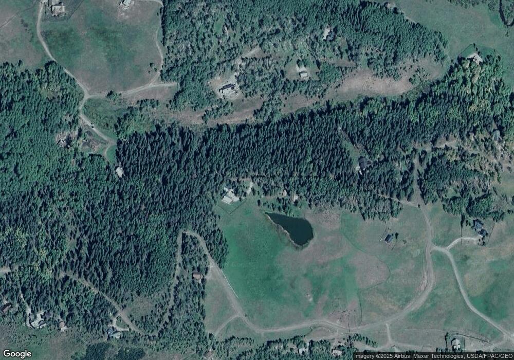
Map
Nearby Homes
- 617 Sioux Rd
- tbd Ohio Creek Rd
- 1100 Castle Dr
- 289 Star Mountain Dr
- 515 Hawk Dr
- 3750 County Road 737
- 000 Blm 3057d
- 824 County Road 826
- TBD Copley Lake Rd
- 401 9th Summit
- TBD 10th St
- 8775 County Road 730
- 980 Saddle Ridge Rd
- 3305 Wildcat Trail
- 997 Saddle Ridge Rd
- Lot 19 Hidden Mine Way
- 3 Beckwith Ave
- 28 Whiterock Ave Unit 2
- 398 Journey's End Rd
- 22 Elk Ave
- 1853 Sioux Rd
- 114 Yuma Trail
- 1851 Sioux Road Wilderness Streams
- 159 Mohawk Trail
- 0 Sioux Trail Wilderness Streams Unit 757525
- 204 Mohawk Trail
- 0 Mohawk Trail
- 113 Yuma Trail
- 160 Mohawk Trail
- 147 Mohawk Trail
- 1237 Sioux Rd
- 57 Yuma Trail
- 1811 Sioux Rd
- 227 Mohawk Trail
- 172 Mohawk Trail
- 1815 Sioux Rd
- 250 Mohawk Trail
- 135 Mohawk Trail
- 1022 Sioux Rd
- 136 Mohawk Trail