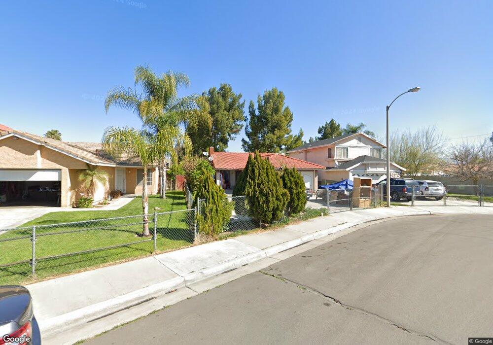
184 Peppertree Dr Perris, CA 92571
Central Perris NeighborhoodEstimated Value: $404,418 - $450,000
2
Beds
1
Bath
866
Sq Ft
$491/Sq Ft
Est. Value
About This Home
This home is located at 184 Peppertree Dr, Perris, CA 92571 and is currently estimated at $425,355, approximately $491 per square foot. 184 Peppertree Dr is a home located in Riverside County with nearby schools including Palms Elementary School, Pinacate Middle School, and Perris High School.
Ownership History
Date
Name
Owned For
Owner Type
Purchase Details
Closed on
Jul 29, 2003
Sold by
Soto Jackie L
Bought by
Camacho Manuel L and Meza Gloria B
Current Estimated Value
Home Financials for this Owner
Home Financials are based on the most recent Mortgage that was taken out on this home.
Original Mortgage
$138,050
Outstanding Balance
$59,329
Interest Rate
5.29%
Mortgage Type
FHA
Estimated Equity
$366,026
Create a Home Valuation Report for This Property
The Home Valuation Report is an in-depth analysis detailing your home's value as well as a comparison with similar homes in the area
Home Values in the Area
Average Home Value in this Area
Purchase History
| Date | Buyer | Sale Price | Title Company |
|---|---|---|---|
| Camacho Manuel L | $140,000 | United Title Insurance Co |
Source: Public Records
Mortgage History
| Date | Status | Borrower | Loan Amount |
|---|---|---|---|
| Open | Camacho Manuel L | $138,050 |
Source: Public Records
Tax History
| Year | Tax Paid | Tax Assessment Tax Assessment Total Assessment is a certain percentage of the fair market value that is determined by local assessors to be the total taxable value of land and additions on the property. | Land | Improvement |
|---|---|---|---|---|
| 2025 | $2,953 | $199,026 | $71,075 | $127,951 |
| 2023 | $2,953 | $191,300 | $68,316 | $122,984 |
| 2022 | $2,518 | $187,550 | $66,977 | $120,573 |
| 2021 | $2,143 | $183,873 | $65,664 | $118,209 |
| 2020 | $2,115 | $181,988 | $64,991 | $116,997 |
| 2019 | $2,066 | $178,420 | $63,717 | $114,703 |
| 2018 | $1,973 | $174,922 | $62,469 | $112,453 |
| 2017 | $1,946 | $171,494 | $61,245 | $110,249 |
| 2016 | $1,906 | $168,133 | $60,045 | $108,088 |
| 2015 | $1,869 | $165,609 | $59,144 | $106,465 |
| 2014 | $1,675 | $149,000 | $53,000 | $96,000 |
Source: Public Records
Map
Nearby Homes
- 129 Olivetree Dr
- 1829 Springtree Dr
- 1900 Summertree Dr
- 2248 Ridge Ct
- 1562 Remembrance Dr
- 1509 Portrait St
- 1491 Portrait St
- 544 Turquoise Dr
- 507 Coudures Way
- 21500 Orange Creek Rd
- 2269 Firebrand Ave
- 122 E Bowen Rd
- 1455 Remembrance Dr
- 560 Coudures Way
- 1942 Sandcastle Dr
- 316 Randy Ln
- 1486 Olivecrest Way
- 1255 Comiskey Ct
- 166 Ambrosia Ct
- 1098 Richards Rd
- 194 Peppertree Dr
- 180 Peppertree Dr
- 1829 Cherrytree Dr
- 174 Peppertree Dr
- 1831 Cherrytree Dr
- 1835 Cherrytree Dr
- 1837 Cherrytree Dr
- 191 Peppertree Dr
- 195 Peppertree Dr
- 170 Peppertree Dr
- 179 Peppertree Dr
- 169 Appletree Dr
- 1839 Cherrytree Dr
- 175 Peppertree Dr
- 160 Peppertree Dr
- 169 Peppertree Dr
- 159 Appletree Dr
- 151 Tahoe St
- 1845 Cherrytree Dr
- 161 Peppertree Dr
Your Personal Tour Guide
Ask me questions while you tour the home.