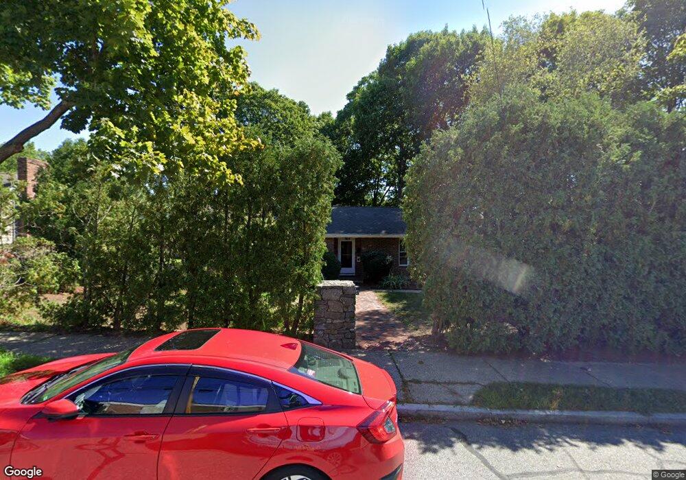
184 Pine St Auburndale, MA 02466
West Newton NeighborhoodEstimated Value: $1,065,067 - $1,204,000
3
Beds
3
Baths
1,348
Sq Ft
$840/Sq Ft
Est. Value
About This Home
This home is located at 184 Pine St, Auburndale, MA 02466 and is currently estimated at $1,132,517, approximately $840 per square foot. 184 Pine St is a home located in Middlesex County with nearby schools including C.C. Burr, F.A. Day Middle School, and Newton North High School.
Ownership History
Date
Name
Owned For
Owner Type
Purchase Details
Closed on
Dec 17, 2004
Sold by
Leone Jeanette
Bought by
Cotter Janet Lee and Cotter John J
Current Estimated Value
Purchase Details
Closed on
Feb 1, 1999
Sold by
Wong Ting Kwan and Wong Wendy C
Bought by
Leone Michael and Leone Jeanne
Purchase Details
Closed on
Mar 25, 1992
Sold by
Collins Paul J and Collins Kathryn C
Bought by
Wong Ting Kwan and Wong Wendy C
Create a Home Valuation Report for This Property
The Home Valuation Report is an in-depth analysis detailing your home's value as well as a comparison with similar homes in the area
Home Values in the Area
Average Home Value in this Area
Purchase History
| Date | Buyer | Sale Price | Title Company |
|---|---|---|---|
| Cotter Janet Lee | $530,000 | -- | |
| Leone Michael | $247,500 | -- | |
| Wong Ting Kwan | $229,900 | -- |
Source: Public Records
Mortgage History
| Date | Status | Borrower | Loan Amount |
|---|---|---|---|
| Open | Wong Ting Kwan | $295,000 | |
| Previous Owner | Wong Ting Kwan | $115,000 |
Source: Public Records
Tax History Compared to Growth
Tax History
| Year | Tax Paid | Tax Assessment Tax Assessment Total Assessment is a certain percentage of the fair market value that is determined by local assessors to be the total taxable value of land and additions on the property. | Land | Improvement |
|---|---|---|---|---|
| 2025 | $8,231 | $839,900 | $0 | $0 |
| 2024 | $7,958 | $0 | $0 | $0 |
| 2023 | $7,508 | $737,500 | $673,900 | $63,600 |
| 2022 | $7,184 | $682,900 | $624,000 | $58,900 |
| 2021 | $6,932 | $644,200 | $588,700 | $55,500 |
| 2020 | $6,725 | $644,200 | $588,700 | $55,500 |
| 2019 | $6,535 | $625,400 | $571,600 | $53,800 |
| 2018 | $6,818 | $566,100 | $513,500 | $52,600 |
| 2017 | $5,939 | $534,100 | $484,400 | $49,700 |
| 2016 | $5,681 | $499,200 | $452,700 | $46,500 |
| 2015 | $5,416 | $466,500 | $423,100 | $43,400 |
Source: Public Records
Map
Nearby Homes
- 160 Pine St Unit 12
- 62-64 Rowe St Unit B
- 49 Staniford St
- 90 Auburndale Ave
- 17 Crescent St
- 10 Crescent St Unit 1
- 10 Crescent St Unit 2
- 101-103 Lexington St
- 13 Weir St
- 265-267 River St Unit 267
- 265-267 River St Unit 265
- 226 Auburn St Unit 226
- 224 Auburn St Unit 224
- 224 Auburn St Unit A
- 283 Melrose St
- 0 Duncan Rd Unit 72925240
- 51 Bourne St
- 56 Dearborn St
- 44 Westland Ave
- 17 Gilbert St
- 178 Pine St
- 49 Washburn Ave
- 53 Washburn Ave
- 43 Washburn Ave
- 61 Washburn Ave
- 39 Washburn Ave
- 50 Washburn Ave
- 48 Washburn Ave Unit 50
- 48 Washburn Ave
- 48 Washburn Ave Unit 48
- 52 Washburn Ave Unit 1
- 52 Washburn Ave Unit 54
- 52 Washburn Ave Unit 2
- 58 Washburn Ave Unit 58
- 44 Washburn Ave Unit 46
- 56 Washburn Ave Unit 58
- 152 Pine St Unit 3
- 152 Pine St
- 40 Washburn Ave
- 60 Washburn Ave