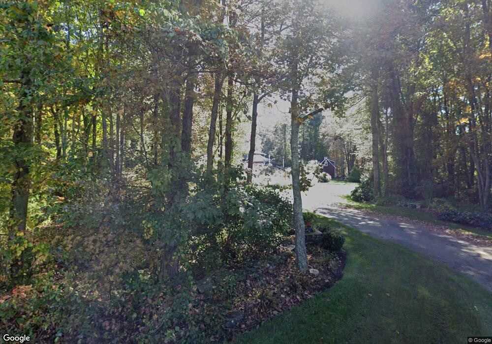
184 Slater Rd Tolland, CT 06084
Estimated Value: $697,000 - $804,000
4
Beds
3
Baths
3,575
Sq Ft
$207/Sq Ft
Est. Value
About This Home
This home is located at 184 Slater Rd, Tolland, CT 06084 and is currently estimated at $739,636, approximately $206 per square foot. 184 Slater Rd is a home located in Tolland County with nearby schools including Birch Grove Primary School, Tolland Intermediate School, and Tolland Middle School.
Ownership History
Date
Name
Owned For
Owner Type
Purchase Details
Closed on
Aug 10, 2018
Sold by
Waterfield Donald G and Argento Barbara A
Bought by
Donald Waterfield T and Donald Waterfield
Current Estimated Value
Purchase Details
Closed on
Mar 5, 1986
Bought by
Waterfield Donald G and Waterfield Barbara A
Create a Home Valuation Report for This Property
The Home Valuation Report is an in-depth analysis detailing your home's value as well as a comparison with similar homes in the area
Home Values in the Area
Average Home Value in this Area
Purchase History
| Date | Buyer | Sale Price | Title Company |
|---|---|---|---|
| Donald Waterfield T | -- | None Available | |
| Donald Waterfield T | -- | None Available | |
| Donald Waterfield T | -- | None Available | |
| Waterfield Donald G | -- | -- |
Source: Public Records
Mortgage History
| Date | Status | Borrower | Loan Amount |
|---|---|---|---|
| Previous Owner | Waterfield Donald G | $134,000 | |
| Previous Owner | Waterfield Donald G | $110,000 |
Source: Public Records
Tax History Compared to Growth
Tax History
| Year | Tax Paid | Tax Assessment Tax Assessment Total Assessment is a certain percentage of the fair market value that is determined by local assessors to be the total taxable value of land and additions on the property. | Land | Improvement |
|---|---|---|---|---|
| 2025 | $12,333 | $453,600 | $73,900 | $379,700 |
| 2024 | $10,870 | $287,800 | $70,600 | $217,200 |
| 2023 | $10,744 | $287,800 | $70,600 | $217,200 |
| 2022 | $10,528 | $287,800 | $70,600 | $217,200 |
| 2021 | $10,680 | $287,800 | $70,600 | $217,200 |
| 2020 | $10,375 | $287,800 | $70,600 | $217,200 |
| 2019 | $10,098 | $280,100 | $72,700 | $207,400 |
| 2018 | $9,804 | $280,100 | $72,700 | $207,400 |
| 2017 | $9,577 | $280,100 | $72,700 | $207,400 |
| 2016 | $9,577 | $280,100 | $72,700 | $207,400 |
| 2015 | $9,344 | $280,100 | $72,700 | $207,400 |
| 2014 | $8,924 | $287,400 | $80,700 | $206,700 |
Source: Public Records
Map
Nearby Homes
- 128 Slater Rd
- 368 Buff Cap Rd
- 322 Buff Cap Rd
- 476 Old Stafford Rd
- 95 Derek Dr
- 120 Derek Dr
- 461 Old Stafford Rd
- 395 Old Stafford Rd
- 71 Neff Hill Rd
- 8 Neff Hill Rd
- 100 Neff Hill Rd
- 137 Neff Hill Rd
- 130 Neff Hill Rd
- 105 Neff Hill Rd
- 110 Neff Hill Rd
- 84 Neff Hill Rd
- 77 Neff Hill Rd
- 745 Old Stafford Rd
- 68 Usher Ridge
- 15 Usher Ridge