184 Thurston St Wrentham, MA 02093
Estimated Value: $579,000 - $631,517
3
Beds
3
Baths
1,288
Sq Ft
$468/Sq Ft
Est. Value
About This Home
This home is located at 184 Thurston St, Wrentham, MA 02093 and is currently estimated at $602,879, approximately $468 per square foot. 184 Thurston St is a home located in Norfolk County with nearby schools including Delaney Elementary School, Charles E Roderick, and Discovery Daycare Center.
Ownership History
Date
Name
Owned For
Owner Type
Purchase Details
Closed on
Oct 21, 2025
Sold by
Dubrey Ft and Dubrey
Bought by
Miles Robert
Current Estimated Value
Home Financials for this Owner
Home Financials are based on the most recent Mortgage that was taken out on this home.
Original Mortgage
$480,000
Outstanding Balance
$477,807
Interest Rate
6.5%
Mortgage Type
Purchase Money Mortgage
Estimated Equity
$125,072
Purchase Details
Closed on
Mar 11, 2019
Sold by
Dubrey Elizabeth
Bought by
Dubrey Ft and Dubrey
Create a Home Valuation Report for This Property
The Home Valuation Report is an in-depth analysis detailing your home's value as well as a comparison with similar homes in the area
Purchase History
We collect this data history from publicly available records. To have your information removed, we recommend requesting removal directly through your county’s website.
| Date | Buyer | Sale Price | Title Company |
|---|---|---|---|
| Miles Robert | $600,000 | -- | |
| Dubrey Ft | -- | -- | |
| Dubrey Ft | -- | -- |
Source: Public Records
Mortgage History
We collect this data history from publicly available records. To have your information removed, we recommend requesting removal directly through your county’s website.
| Date | Status | Borrower | Loan Amount |
|---|---|---|---|
| Open | Miles Robert | $480,000 |
Source: Public Records
Tax History
| Year | Tax Paid | Tax Assessment Tax Assessment Total Assessment is a certain percentage of the fair market value that is determined by local assessors to be the total taxable value of land and additions on the property. | Land | Improvement |
|---|---|---|---|---|
| 2025 | $6,391 | $551,400 | $291,200 | $260,200 |
| 2024 | $6,022 | $501,800 | $291,200 | $210,600 |
| 2023 | $5,755 | $456,000 | $266,300 | $189,700 |
| 2022 | $5,613 | $410,600 | $241,400 | $169,200 |
| 2021 | $4,856 | $345,100 | $217,600 | $127,500 |
| 2020 | $5,341 | $374,800 | $200,100 | $174,700 |
| 2019 | $4,915 | $348,100 | $183,500 | $164,600 |
| 2018 | $4,815 | $338,100 | $183,400 | $154,700 |
| 2017 | $4,574 | $321,000 | $179,900 | $141,100 |
| 2016 | $4,471 | $313,100 | $174,700 | $138,400 |
| 2015 | $4,340 | $289,700 | $168,000 | $121,700 |
| 2014 | $4,294 | $280,500 | $161,600 | $118,900 |
Source: Public Records
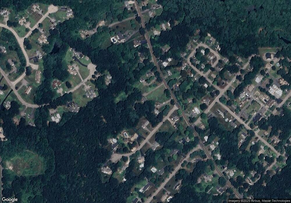
Map
Nearby Homes
- 424 Dedham St
- 215 South St
- 59 Geordan Ave
- 131 Washington St Unit 32
- 131 Washington St Unit 42
- 131 Washington St Unit 29
- 131 Washington St Unit 50
- 131 Washington St Unit 51
- 11 Earle Stewart Ln Unit Lot 2
- 14 Earle Stewart Ln Unit Lot 3
- 18 A St
- 8 Conway Ln
- 4 Weber Farm Rd Unit 4
- 8 Weber Farm Rd Unit 8
- 723 Dedham St
- 371 & 377 Franklin St
- 28 Park St
- 13 Old Colony Rd
- 0 W Birch Rd
- 101 Bennett St
- 198 Thurston St
- 10 Warner Trail Rd
- 172 Thurston St
- 191 Thurston St
- 175 Thurston St
- 210 Thurston St
- 167 Thurston St
- 310 Cowell Rd
- 300 Cowell Rd
- 320 Cowell Rd
- 20 Warner Trail Rd
- 156 Thurston St
- 205 Thurston St
- 5 Warner Trail Rd
- 33 Nadeau Dr
- 27 Nadeau Dr
- 157 Thurston St
- 270 Cowell Rd
- 280 Cowell Rd
- 290 Cowell Rd
Your Personal Tour Guide
Ask me questions while you tour the home.