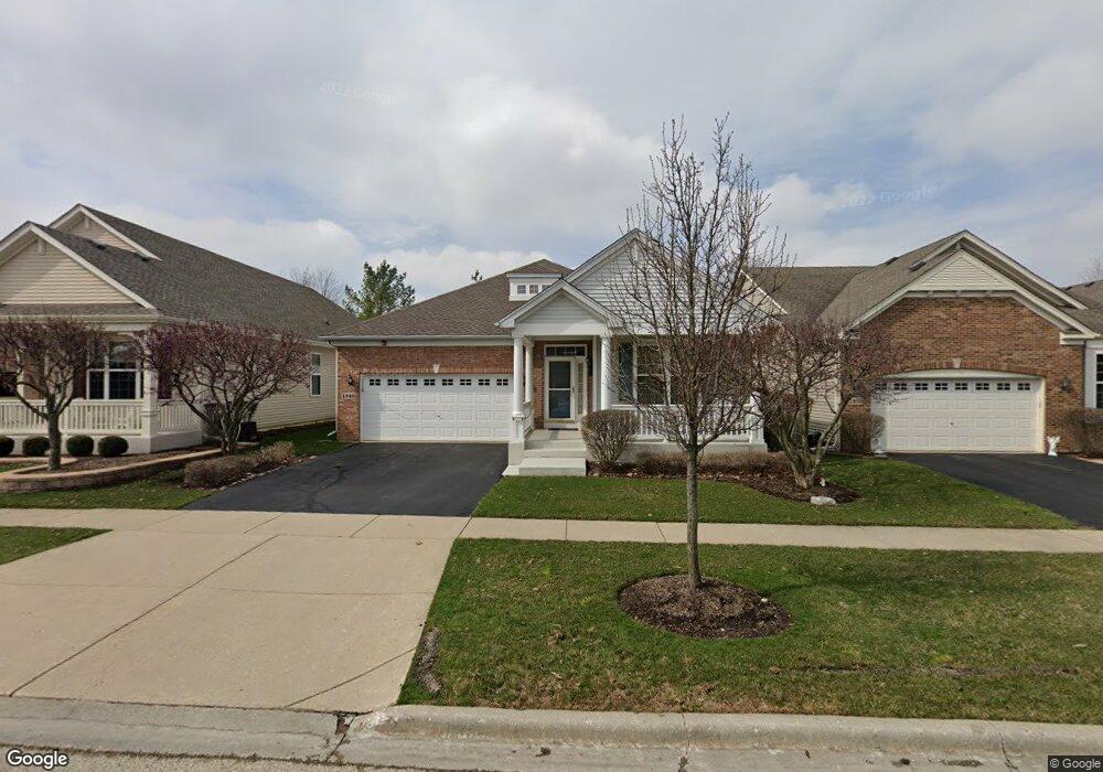
1840 Avon Dr Hoffman Estates, IL 60192
West Hoffman Estates NeighborhoodEstimated Value: $491,000 - $517,000
2
Beds
2
Baths
1,941
Sq Ft
$259/Sq Ft
Est. Value
About This Home
This home is located at 1840 Avon Dr, Hoffman Estates, IL 60192 and is currently estimated at $502,360, approximately $258 per square foot. 1840 Avon Dr is a home located in Cook County with nearby schools including Lincoln Elementary School, Larsen Middle School, and Elgin High School.
Ownership History
Date
Name
Owned For
Owner Type
Purchase Details
Closed on
Sep 29, 2008
Sold by
Clesceri Joseph A and Clesceri Kathleen A
Bought by
Clesceri Joseph A and Clesceri Kathleen A
Current Estimated Value
Purchase Details
Closed on
Dec 21, 2006
Sold by
The Ryland Group Inc
Bought by
Clesceri Joseph A and Clesceri Kathleen A
Home Financials for this Owner
Home Financials are based on the most recent Mortgage that was taken out on this home.
Original Mortgage
$305,438
Interest Rate
6.12%
Mortgage Type
Unknown
Create a Home Valuation Report for This Property
The Home Valuation Report is an in-depth analysis detailing your home's value as well as a comparison with similar homes in the area
Home Values in the Area
Average Home Value in this Area
Purchase History
| Date | Buyer | Sale Price | Title Company |
|---|---|---|---|
| Clesceri Joseph A | -- | None Available | |
| Clesceri Joseph A | $382,000 | Ryland Title Company |
Source: Public Records
Mortgage History
| Date | Status | Borrower | Loan Amount |
|---|---|---|---|
| Previous Owner | Clesceri Joseph A | $305,438 |
Source: Public Records
Tax History
| Year | Tax Paid | Tax Assessment Tax Assessment Total Assessment is a certain percentage of the fair market value that is determined by local assessors to be the total taxable value of land and additions on the property. | Land | Improvement |
|---|---|---|---|---|
| 2025 | $8,919 | $45,000 | $3,292 | $41,708 |
| 2024 | $8,919 | $35,000 | $7,000 | $28,000 |
| 2023 | $8,649 | $35,000 | $7,000 | $28,000 |
| 2022 | $8,649 | $35,000 | $7,000 | $28,000 |
| 2021 | $8,705 | $30,169 | $685 | $29,484 |
| 2020 | $9,373 | $32,085 | $685 | $31,400 |
| 2019 | $9,278 | $35,650 | $685 | $34,965 |
| 2018 | $6,805 | $25,859 | $548 | $25,311 |
| 2017 | $7,681 | $28,498 | $548 | $27,950 |
| 2016 | $7,746 | $28,498 | $548 | $27,950 |
| 2015 | $7,428 | $25,819 | $411 | $25,408 |
| 2014 | $7,631 | $26,692 | $411 | $26,281 |
| 2013 | $7,837 | $28,126 | $411 | $27,715 |
Source: Public Records
Map
Nearby Homes
- 1870 Hampshire Dr
- 5815 Fairview Ln
- 2224 Amelia Ln
- 1812 Kelberg Ave Unit 482
- 2221 Edgartown Ln
- 6073 Canterbury Ln Unit 335
- 6131 Canterbury Ln Unit 281
- 5761 Providence Dr Unit 4
- 1385 Caribou Ln Unit 4
- 5670 Brentwood Dr Unit 5
- 1115 Apple Hill Ct
- 12N100 Berner Dr
- 600 Countryfield Ln
- 2140 Colchester Ave
- 1503 Kenneth Cir
- 5657 Angouleme Ln Unit 3
- 1200 Deep Woods Dr
- Vacant Lot Parcel 1 Congdon Ave
- 1089 Quaker Hill Ct Unit 711
- 860 Parkway Ave
Your Personal Tour Guide
Ask me questions while you tour the home.