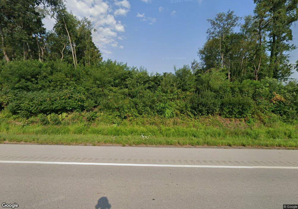
1840 Burnetts Corner Rd Wooster, OH 44691
Estimated Value: $698,000 - $772,000
4
Beds
5
Baths
3,368
Sq Ft
$219/Sq Ft
Est. Value
About This Home
This home is located at 1840 Burnetts Corner Rd, Wooster, OH 44691 and is currently estimated at $738,447, approximately $219 per square foot. 1840 Burnetts Corner Rd is a home located in Wayne County with nearby schools including Triway High School, St. Mary of Immaculate Conception School, and Country Corner.
Ownership History
Date
Name
Owned For
Owner Type
Purchase Details
Closed on
Aug 26, 2014
Sold by
Allen Daniel F and Allen Marjorie E
Bought by
Allen Daniel F and Allen Marjorie A
Current Estimated Value
Purchase Details
Closed on
Jul 18, 1994
Sold by
Oberly Gary L
Bought by
Allen Daniel F and Allen Marjorie A
Purchase Details
Closed on
Nov 8, 1988
Bought by
Oberly Gary L and Oberly Sharon J
Purchase Details
Closed on
Jun 13, 1986
Bought by
Oberly Enterprises A Part
Purchase Details
Closed on
Apr 1, 1986
Create a Home Valuation Report for This Property
The Home Valuation Report is an in-depth analysis detailing your home's value as well as a comparison with similar homes in the area
Home Values in the Area
Average Home Value in this Area
Purchase History
| Date | Buyer | Sale Price | Title Company |
|---|---|---|---|
| Allen Daniel F | -- | Attorney | |
| Allen Daniel F | $27,000 | -- | |
| Oberly Gary L | -- | -- | |
| Oberly Enterprises A Part | -- | -- | |
| -- | -- | -- |
Source: Public Records
Tax History Compared to Growth
Tax History
| Year | Tax Paid | Tax Assessment Tax Assessment Total Assessment is a certain percentage of the fair market value that is determined by local assessors to be the total taxable value of land and additions on the property. | Land | Improvement |
|---|---|---|---|---|
| 2024 | $8,780 | $239,700 | $25,140 | $214,560 |
| 2023 | $8,780 | $239,700 | $25,140 | $214,560 |
| 2022 | $6,972 | $172,140 | $17,960 | $154,180 |
| 2021 | $6,511 | $172,140 | $17,960 | $154,180 |
| 2020 | $6,588 | $172,140 | $17,960 | $154,180 |
| 2019 | $5,989 | $150,900 | $13,100 | $137,800 |
| 2018 | $6,097 | $150,900 | $13,100 | $137,800 |
| 2017 | $5,921 | $150,900 | $13,100 | $137,800 |
| 2016 | $5,904 | $145,090 | $12,590 | $132,500 |
| 2015 | $5,769 | $145,090 | $12,590 | $132,500 |
| 2014 | $5,925 | $145,090 | $12,590 | $132,500 |
| 2013 | $6,208 | $146,240 | $11,680 | $134,560 |
Source: Public Records
Map
Nearby Homes
- 0 Blachleyville Rd
- 1970 Batdorf Rd
- 0 Heyl Rd
- 2430 S Columbus Rd
- 1740 Barnes Dr
- 1131 Curtwood Dr
- 0 Batdorf Rd
- 1174 Columbus Rd
- 2844 Morning Hill Dr
- 2560 Rutt Ct
- 3940 Batdorf Rd
- 3979 Batdorf Rd
- 3532 Triway Ln
- 349 W North St
- 429 Woodland Ave
- 323 N Grant St
- 229 N Walnut St
- 227 N Walnut St
- 450 N Grant St
- 537 N Grant St
- 1820 Burnetts Corner Rd
- 1848 Burnetts Corner Rd
- 1866 Burnetts Corner Rd
- 1792 Burnetts Corner Rd
- 1902 Burnetts Corner Rd
- 1936 Burnetts Corner Rd
- 1744 Burnetts Corner Rd
- 1592 Blachleyville Rd
- 1970 Burnetts Corner Rd
- 1671 Westwood Cir
- 1671 Westwood Cir
- 2004 Burnetts Corner Rd
- 1633 Blachleyville Rd
- 1775 Blachleyville Rd
- 1775 Blachleyville Rd
- 1547 Blachleyville Rd
- 2038 Burnetts Corner Rd
- 1667 Westwood Cir
- 1651 Westwood Cir
- 1679 Westwood Cir
