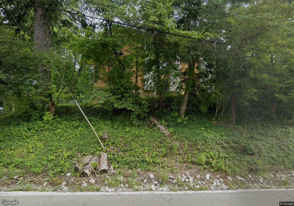
1840 E 136th St Carmel, IN 46032
Downtown Carmel NeighborhoodEstimated Value: $899,000 - $1,119,000
3
Beds
4
Baths
2,399
Sq Ft
$433/Sq Ft
Est. Value
About This Home
This home is located at 1840 E 136th St, Carmel, IN 46032 and is currently estimated at $1,037,635, approximately $432 per square foot. 1840 E 136th St is a home located in Hamilton County with nearby schools including Carmel Elementary School, Carmel Middle School, and Carmel High School.
Ownership History
Date
Name
Owned For
Owner Type
Purchase Details
Closed on
Dec 20, 2021
Sold by
Rice Nevitt Lynn
Bought by
Ketcham Nathan D and Wood Sarah R
Current Estimated Value
Purchase Details
Closed on
Dec 17, 2021
Sold by
Nevitt Lynn Rice and Nevitt Richard A
Bought by
Ketcham Nathan D and Wood Sarah R
Purchase Details
Closed on
Dec 9, 2021
Sold by
Rice Nevitt Lynn
Bought by
Ketcham Nathan D and Wood Sarah R
Purchase Details
Closed on
Jun 22, 2001
Sold by
Nevitt Lynn E Rice and Nevitt Lynn E
Bought by
Nevitt Richard A and Nevitt Lynn Rice
Home Financials for this Owner
Home Financials are based on the most recent Mortgage that was taken out on this home.
Original Mortgage
$55,000
Interest Rate
7.27%
Create a Home Valuation Report for This Property
The Home Valuation Report is an in-depth analysis detailing your home's value as well as a comparison with similar homes in the area
Home Values in the Area
Average Home Value in this Area
Purchase History
| Date | Buyer | Sale Price | Title Company |
|---|---|---|---|
| Ketcham Nathan D | -- | Ata National Title Group | |
| Ketcham Nathan D | -- | Ata National Title Group | |
| Ketcham Nathan D | $400,000 | Ata National Title Group | |
| Nevitt Richard A | -- | -- |
Source: Public Records
Mortgage History
| Date | Status | Borrower | Loan Amount |
|---|---|---|---|
| Previous Owner | Nevitt Richard A | $55,000 |
Source: Public Records
Tax History Compared to Growth
Tax History
| Year | Tax Paid | Tax Assessment Tax Assessment Total Assessment is a certain percentage of the fair market value that is determined by local assessors to be the total taxable value of land and additions on the property. | Land | Improvement |
|---|---|---|---|---|
| 2024 | $4,062 | $705,000 | $193,700 | $511,300 |
| 2023 | $4,062 | $201,500 | $193,700 | $7,800 |
| 2022 | $4,822 | $233,800 | $86,800 | $147,000 |
| 2021 | $4,174 | $201,400 | $86,800 | $114,600 |
| 2020 | $3,625 | $174,900 | $86,800 | $88,100 |
| 2019 | $3,487 | $169,700 | $66,800 | $102,900 |
| 2018 | $3,597 | $169,700 | $66,800 | $102,900 |
| 2017 | $3,414 | $168,300 | $66,800 | $101,500 |
| 2016 | $3,232 | $152,300 | $66,800 | $85,500 |
| 2014 | $2,949 | $150,700 | $66,800 | $83,900 |
| 2013 | $2,949 | $148,500 | $66,800 | $81,700 |
Source: Public Records
Map
Nearby Homes
- 720 N Rangeline Rd
- 57 Monon Ln
- 631 1st Ave NW
- 789 Greenford Trail N
- 729 Greenford Trail N
- 681 Greenford Trail N
- 692 Greenford Trail N
- 231 1st Ave NE
- 311 2nd St NE
- 41 N Rangeline Rd Unit C305
- 41 N Rangeline Rd Unit 3
- 41 N Rangeline Rd Unit 7
- 30 W Main St Unit 3D
- 2913 Twain Dr
- 457 Mariposa Trail
- 831 Ashdown Ln
- 121 1st St SE
- 2945 Millgate Dr
- 14011 Grisham Dr
- 120 1st Ave SE
- 1840 E Smokey Row Rd
- 1841 E 136th St
- 839 N Range Line Rd
- 839 N Range Line Rd
- 839 N Rangeline Rd
- 130 7th St NE
- 740 1st Ave NE
- 210 Stubbs Way
- 730 1st Ave NE
- 670 2nd Ave NE
- 671 1st Ave NE
- 669 1st Ave NE
- 671 2nd Ave NE
- 710 1st Ave NE
- 877 Rosalind Place
- 664 2nd Ave NE
- 881 Rosalind Place
- 665 2nd Ave NE
- 885 Rosalind Place
- 665 1st Ave NE
