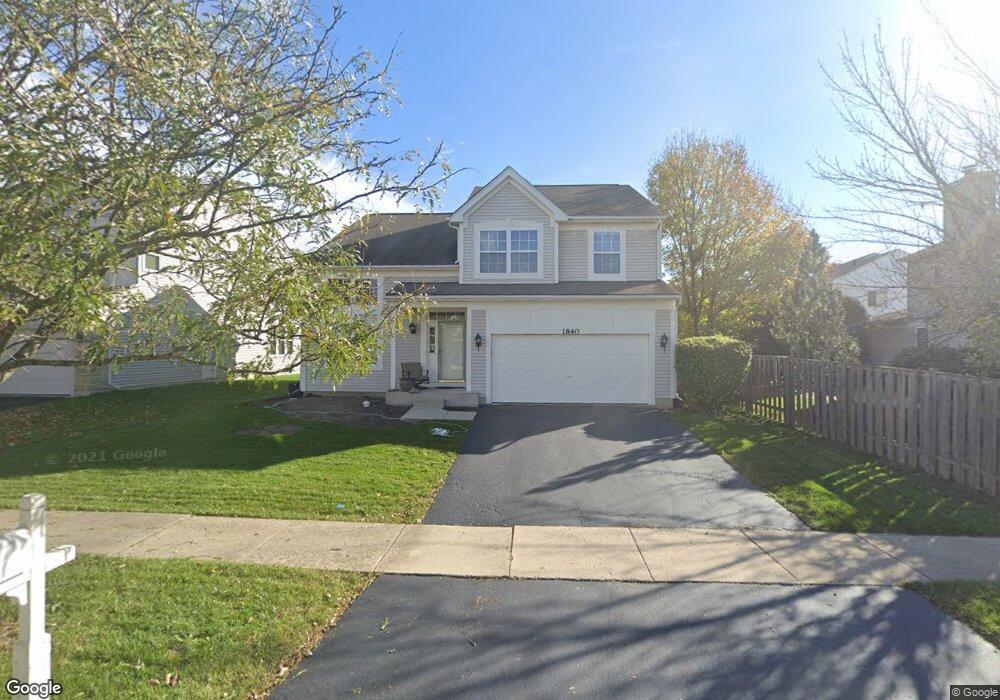
1840 Hobson Ln Aurora, IL 60503
Far Southeast NeighborhoodEstimated Value: $424,000 - $467,000
--
Bed
1
Bath
2,192
Sq Ft
$202/Sq Ft
Est. Value
About This Home
This home is located at 1840 Hobson Ln, Aurora, IL 60503 and is currently estimated at $443,434, approximately $202 per square foot. 1840 Hobson Ln is a home located in Will County with nearby schools including The Wheatlands Elementary School, Bednarcik Jr. High School, and Oswego East High School.
Ownership History
Date
Name
Owned For
Owner Type
Purchase Details
Closed on
Aug 9, 1999
Sold by
Greenfield/Waterbury Llc
Bought by
Schwartz Michael J and Schwartz Misti A
Current Estimated Value
Home Financials for this Owner
Home Financials are based on the most recent Mortgage that was taken out on this home.
Original Mortgage
$173,000
Interest Rate
7.93%
Create a Home Valuation Report for This Property
The Home Valuation Report is an in-depth analysis detailing your home's value as well as a comparison with similar homes in the area
Home Values in the Area
Average Home Value in this Area
Purchase History
| Date | Buyer | Sale Price | Title Company |
|---|---|---|---|
| Schwartz Michael J | $196,500 | Ticor Title Insurance Compan |
Source: Public Records
Mortgage History
| Date | Status | Borrower | Loan Amount |
|---|---|---|---|
| Previous Owner | Schwartz Michael J | $173,000 |
Source: Public Records
Tax History Compared to Growth
Tax History
| Year | Tax Paid | Tax Assessment Tax Assessment Total Assessment is a certain percentage of the fair market value that is determined by local assessors to be the total taxable value of land and additions on the property. | Land | Improvement |
|---|---|---|---|---|
| 2024 | $10,263 | $125,744 | $30,881 | $94,863 |
| 2023 | $10,263 | $111,081 | $27,280 | $83,801 |
| 2022 | $9,494 | $101,398 | $25,805 | $75,593 |
| 2021 | $9,434 | $96,569 | $24,576 | $71,993 |
| 2020 | $9,031 | $95,039 | $24,187 | $70,852 |
| 2019 | $9,126 | $92,360 | $23,505 | $68,855 |
| 2018 | $8,102 | $80,057 | $22,988 | $57,069 |
| 2017 | $7,966 | $77,991 | $22,395 | $55,596 |
| 2016 | $7,983 | $76,312 | $21,913 | $54,399 |
| 2015 | $8,618 | $73,377 | $21,070 | $52,307 |
| 2014 | $8,618 | $73,190 | $21,070 | $52,120 |
| 2013 | $8,618 | $73,190 | $21,070 | $52,120 |
Source: Public Records
Map
Nearby Homes
- 1966 Congrove Dr
- 1722 Baler Ave
- 1728 Baler Ave
- 1716 Baler Ave
- 1734 Baler Ave
- 1875 Keating Dr
- 1871 Keating Dr
- 1855 Keating Dr
- 2047 James Leigh Dr
- 2489 Rosehall Ln
- Bellamy Plan at Wheatland Crossing
- Henley Plan at Wheatland Crossing
- Ashton Plan at Wheatland Crossing
- Coventry Plan at Wheatland Crossing
- 1870 Canyon Creek Dr
- 1830 Canyon Creek Dr
- 1880 Canyon Creek Dr
- 2484 Warwick Ct
- 2509 Rosehall Ln
- 1629 Silver Springs Ct
- 1830 Hobson Ln
- 2266 Halsted Ln Unit 2B
- 1820 Hobson Ln
- 2268 Conrad Ct
- 2274 Halsted Ln
- 2269 Conrad Ct
- 2242 Halsted Ct
- 1831 Hobson Ln Unit 2B
- 2282 Halsted Ln Unit 2B
- 1821 Hobson Ln
- 2278 Conrad Ct
- 1810 Hobson Ln
- 2234 Halsted Ct
- 1811 Hobson Ln
- 2279 Conrad Ct
- 2290 Halsted Ln
- 1800 Hobson Ln
- 2261 Halsted Ln
- 2269 Halsted Ln
- 2226 Halsted Ct