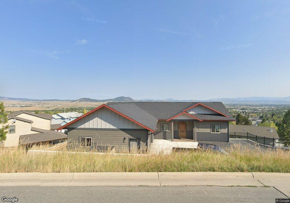
1840 Le Grande Cannon Blvd Helena, MT 59601
Upper West Side NeighborhoodEstimated Value: $305,000 - $745,072
4
Beds
3
Baths
1,524
Sq Ft
$367/Sq Ft
Est. Value
About This Home
This home is located at 1840 Le Grande Cannon Blvd, Helena, MT 59601 and is currently estimated at $560,018, approximately $367 per square foot. 1840 Le Grande Cannon Blvd is a home with nearby schools including Kessler Elementary School, C.R. Anderson Middle School, and Helena Christian Academy.
Ownership History
Date
Name
Owned For
Owner Type
Purchase Details
Closed on
Apr 24, 2013
Sold by
Chrisholm Jami and Nordstrom Robert
Bought by
Swingley Jeff K and Swingley Traci R
Current Estimated Value
Home Financials for this Owner
Home Financials are based on the most recent Mortgage that was taken out on this home.
Original Mortgage
$60,000
Outstanding Balance
$43,814
Interest Rate
4.25%
Mortgage Type
New Conventional
Estimated Equity
$516,204
Purchase Details
Closed on
Jul 25, 2012
Sold by
Chisholm Josh and Chisholm Jami
Bought by
Chisholm Jami and Nordstrom Robert
Create a Home Valuation Report for This Property
The Home Valuation Report is an in-depth analysis detailing your home's value as well as a comparison with similar homes in the area
Home Values in the Area
Average Home Value in this Area
Purchase History
| Date | Buyer | Sale Price | Title Company |
|---|---|---|---|
| Swingley Jeff K | -- | First Montana Land Title Co | |
| Chisholm Jami | -- | Accommodation |
Source: Public Records
Mortgage History
| Date | Status | Borrower | Loan Amount |
|---|---|---|---|
| Open | Swingley Jeff K | $60,000 |
Source: Public Records
Tax History Compared to Growth
Tax History
| Year | Tax Paid | Tax Assessment Tax Assessment Total Assessment is a certain percentage of the fair market value that is determined by local assessors to be the total taxable value of land and additions on the property. | Land | Improvement |
|---|---|---|---|---|
| 2025 | $5,470 | $840,500 | $0 | $0 |
| 2024 | $5,863 | $614,800 | $0 | $0 |
| 2023 | $6,529 | $614,800 | $0 | $0 |
| 2022 | $6,175 | $497,700 | $0 | $0 |
| 2021 | $1,123 | $101,616 | $0 | $0 |
| 2020 | $1,529 | $91,856 | $0 | $0 |
| 2019 | $1,531 | $91,856 | $0 | $0 |
| 2018 | $1,388 | $83,871 | $0 | $0 |
| 2017 | $834 | $83,871 | $0 | $0 |
| 2016 | $1,091 | $67,995 | $0 | $0 |
| 2015 | $2,831 | $67,995 | $0 | $0 |
| 2014 | $2,949 | $45,137 | $0 | $0 |
Source: Public Records
Map
Nearby Homes
- 801 Joslyn St
- NHN Highview Way
- 860 Hiawatha St
- 2025 Stuart St
- 1922 Knight St
- 2211 Hauser Blvd
- 2213 Hauser Blvd
- 2215 Hauser Blvd
- 2217 Hauser Blvd
- Lots 29 & 30 Knight St
- 1931 Choteau St
- 1601 Choteau St
- 1801 Cannon St
- 1160 Laurel St
- 1624 Cannon St Unit 35
- 1624 Cannon St Unit 26
- 1624 Cannon St Unit 25
- 1616 Cannon St Unit 17
- 2120 Euclid Ave
- 2401 Cannon St
- 1822 Le Grande Cannon Blvd
- 1812 Le Grande Cannon Blvd
- 1830 Le Grande Cannon Blvd
- 1800 Le Grande Cannon Blvd
- 1821 University St
- 1823 University St
- 1936 Ambrose Ct
- 1801 University St
- 509 Linden Ct
- 1777 Le Grande Cannon Blvd
- 1825 University St
- 1928 Ambrose Ct
- 1952 Ambrose Ct
- 1930 Ambrose Ct
- 0 Legrande Cannon Blvd
- 0 Legrande Cannon Blvd
- 1802 University St
- 1775 University St
- 1954 Ambrose Ct
- 536 Linden Ct