1840 Red and King Gulch Rd Laurel, MT 59044
Estimated Value: $624,000 - $868,000
4
Beds
3
Baths
2,816
Sq Ft
$264/Sq Ft
Est. Value
About This Home
This home is located at 1840 Red and King Gulch Rd, Laurel, MT 59044 and is currently estimated at $743,506, approximately $264 per square foot. 1840 Red and King Gulch Rd is a home located in Yellowstone County with nearby schools including Fred W. Graff School, West School, and Laurel Middle School.
Ownership History
Date
Name
Owned For
Owner Type
Purchase Details
Closed on
Aug 31, 2012
Sold by
Roberts Brian C and Roberts Clara E
Bought by
Renner Nathan
Current Estimated Value
Home Financials for this Owner
Home Financials are based on the most recent Mortgage that was taken out on this home.
Original Mortgage
$280,155
Outstanding Balance
$193,215
Interest Rate
3.5%
Mortgage Type
New Conventional
Estimated Equity
$550,291
Purchase Details
Closed on
Jun 28, 2007
Sold by
Phillips Ken D
Bought by
Roberts Clara E and Roberts Brian C
Create a Home Valuation Report for This Property
The Home Valuation Report is an in-depth analysis detailing your home's value as well as a comparison with similar homes in the area
Home Values in the Area
Average Home Value in this Area
Purchase History
| Date | Buyer | Sale Price | Title Company |
|---|---|---|---|
| Renner Nathan | -- | None Available | |
| Roberts Clara E | -- | None Available |
Source: Public Records
Mortgage History
| Date | Status | Borrower | Loan Amount |
|---|---|---|---|
| Open | Renner Nathan | $280,155 |
Source: Public Records
Tax History Compared to Growth
Tax History
| Year | Tax Paid | Tax Assessment Tax Assessment Total Assessment is a certain percentage of the fair market value that is determined by local assessors to be the total taxable value of land and additions on the property. | Land | Improvement |
|---|---|---|---|---|
| 2025 | $3,434 | $592,553 | $68,573 | $523,980 |
| 2024 | $3,434 | $500,374 | $63,364 | $437,010 |
| 2023 | $3,406 | $500,374 | $63,364 | $437,010 |
| 2022 | $2,962 | $422,909 | $47,869 | $375,040 |
| 2021 | $2,968 | $422,909 | $0 | $0 |
| 2020 | $2,812 | $391,565 | $0 | $0 |
| 2019 | $2,694 | $391,565 | $0 | $0 |
| 2018 | $2,922 | $365,160 | $0 | $0 |
| 2017 | $2,453 | $365,160 | $0 | $0 |
| 2016 | $2,201 | $287,390 | $0 | $0 |
| 2015 | $2,101 | $287,390 | $0 | $0 |
| 2014 | $2,061 | $150,140 | $0 | $0 |
Source: Public Records
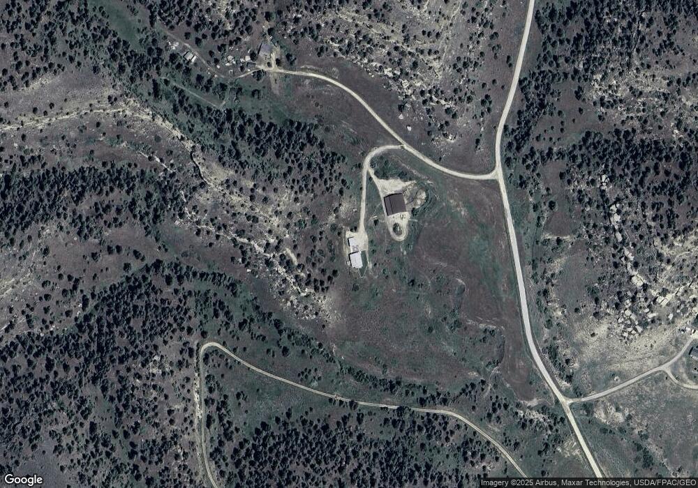
Map
Nearby Homes
- 1450 Red and King Gulch Rd
- 5930 Chief Buffalo Horn Trail
- 2900 Chief White Bird Trail
- 4751 Naytura Ridge
- 4728 Clapper Flat Rd
- TBD Lot 1 Lori Rae Ln
- TBD Lot 2 Lori Rae Ln
- 1095 Tracy Way
- TBD Wold Rd
- 113 4th St SW
- 12 Silverado Rd
- 403 3rd St SW
- 522 3rd St SW
- 2307 Sportsman Park Rd
- NHN Schreiner Rd
- 1712 Paynes Place
- 2410 Boggio Ln
- 1018 Els Dr
- 2 Maple Dr Parcel A & B
- 00 Rodeo Dr
- 1850 Red and King Gulch Rd
- 5900 Camas Prairie Trail
- 5735 Chief Buffalo Horn Trail
- 1775 Red and King Gulch Rd
- 5715 Chief Buffalo Horn Trail
- 5800 Camas Prairie Trail
- 5925 Camas Prairie Trail
- 4975 Chief Brave Wolf Trail
- TRACT 136 Chief Buffalo Horn Trail
- 0 Chief Buffalo Horn Trail
- 1661 Red and King Gulch Rd
- 5088 Chief Brave Wolf Trail
- 5815 Chief Buffalo Horn Trail
- 5825 Camas Prairie Trail
- 1550 Red and King Gulch Rd
- 5870 Chief Yellowbull Trail
- 5870 Chief Yellow Bull Trail
- 5015 Chief Brave Wolf Trail
- 1525 Red and King Gulch Rd
- 5765 Camas Prairie Trail