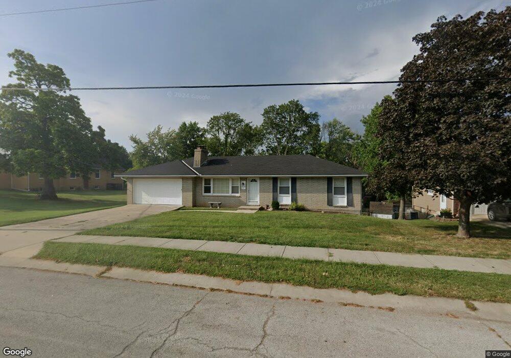
18408 E R D Mize Rd Independence, MO 64057
Blackburn NeighborhoodEstimated Value: $223,357 - $260,000
3
Beds
3
Baths
1,092
Sq Ft
$225/Sq Ft
Est. Value
About This Home
This home is located at 18408 E R D Mize Rd, Independence, MO 64057 and is currently estimated at $245,839, approximately $225 per square foot. 18408 E R D Mize Rd is a home located in Jackson County with nearby schools including Blackburn Elementary School, Bridger Middle School, and Pioneer Ridge Middle School.
Ownership History
Date
Name
Owned For
Owner Type
Purchase Details
Closed on
Jun 29, 2007
Sold by
Cummins Bradley L
Bought by
Pollard James W and Pollard Cathy L
Current Estimated Value
Home Financials for this Owner
Home Financials are based on the most recent Mortgage that was taken out on this home.
Original Mortgage
$100,000
Outstanding Balance
$61,189
Interest Rate
6.19%
Mortgage Type
Purchase Money Mortgage
Estimated Equity
$184,650
Create a Home Valuation Report for This Property
The Home Valuation Report is an in-depth analysis detailing your home's value as well as a comparison with similar homes in the area
Home Values in the Area
Average Home Value in this Area
Purchase History
| Date | Buyer | Sale Price | Title Company |
|---|---|---|---|
| Pollard James W | -- | Stewart Title Of Kansas City |
Source: Public Records
Mortgage History
| Date | Status | Borrower | Loan Amount |
|---|---|---|---|
| Open | Pollard James W | $100,000 |
Source: Public Records
Tax History
| Year | Tax Paid | Tax Assessment Tax Assessment Total Assessment is a certain percentage of the fair market value that is determined by local assessors to be the total taxable value of land and additions on the property. | Land | Improvement |
|---|---|---|---|---|
| 2025 | $2,396 | $29,649 | $5,692 | $23,957 |
| 2024 | $2,341 | $34,580 | $4,237 | $30,343 |
| 2023 | $2,341 | $34,580 | $4,638 | $29,942 |
| 2022 | $1,656 | $22,420 | $3,848 | $18,572 |
| 2021 | $1,655 | $22,420 | $3,848 | $18,572 |
| 2020 | $1,621 | $21,329 | $3,848 | $17,481 |
| 2019 | $1,595 | $21,329 | $3,848 | $17,481 |
| 2018 | $1,229 | $15,685 | $2,386 | $13,299 |
| 2017 | $1,229 | $15,685 | $2,386 | $13,299 |
| 2016 | $1,180 | $14,912 | $3,327 | $11,585 |
Source: Public Records
Map
Nearby Homes
- 3304 S Cochise Ave
- 18809 E 32nd Terrace Ct S
- 3336 S Cochise Ave
- 2813 Trenchard Dr
- 3413 S Arrowhead Ct
- 2829 Trenchard Dr
- 2944 Iva Ct
- 3011 Cedar Crest Dr Unit B
- 18013 E 26th Terrace Ct S
- 18608 E 26th Terrace S
- 18401 E 26th Street Ct S
- 2600 S Cochise Ave
- 2961 Iva Dr
- 2805 Castle Dr
- 2916 Sweet Briar Dr
- 17813 E 26th St S
- 18008 E 25th Street Ct S
- 2900 S M 291 Hwy
- 17504 E R D Mize Rd
- 17201 E 32nd St S Unit 9
- 18500 E R D Mize Rd
- 18400 E R D Mize Rd
- 18409 E 30th Terrace S
- 18504 E R D Mize Rd
- 3108 S Cochise Ave
- 18501 E 30th Terrace S
- 3113 S Ponca Ct
- 3107 S Ponca Ct
- 18405 E 30th Terrace S
- 18508 E R D Mize Rd
- 18505 E 30th Terrace S
- 3112 S Cochise Ave
- 3108 S Ponca Ct
- 18509 E 30th Terrace S
- 18512 E R D Mize Rd
- 3116 S Cochise Ave
- 18500 E 30th Terrace S
- 18408 E 30th Terrace S
- 18404 E 30th Terrace S
- 18504 E Hatton Ave
Your Personal Tour Guide
Ask me questions while you tour the home.