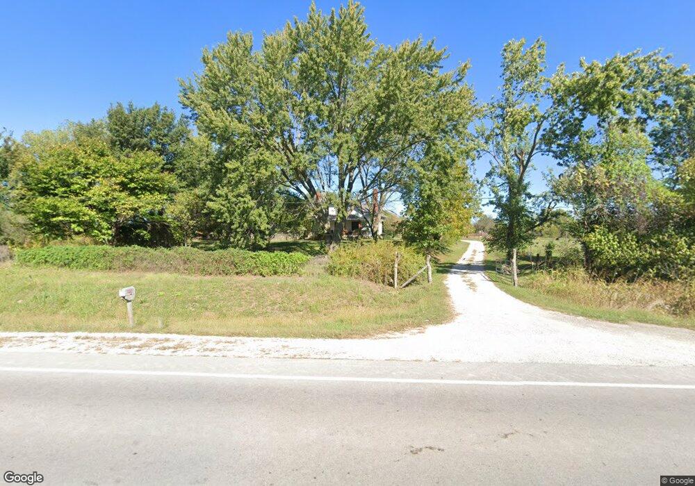
18408 E State Route 2 Harrisonville, MO 64701
Estimated Value: $299,000 - $355,000
3
Beds
1
Bath
3,326
Sq Ft
$95/Sq Ft
Est. Value
About This Home
This home is located at 18408 E State Route 2, Harrisonville, MO 64701 and is currently estimated at $316,029, approximately $95 per square foot. 18408 E State Route 2 is a home located in Cass County with nearby schools including McEowen Elementary School, Harrisonville Elementary School, and Harrisonville Middle School.
Ownership History
Date
Name
Owned For
Owner Type
Purchase Details
Closed on
Aug 31, 2006
Sold by
Hudson Larry D and Hudson Brenda J
Bought by
Stegner Wendell F and Fischer Sarah
Current Estimated Value
Home Financials for this Owner
Home Financials are based on the most recent Mortgage that was taken out on this home.
Original Mortgage
$100,000
Outstanding Balance
$60,445
Interest Rate
6.79%
Mortgage Type
New Conventional
Estimated Equity
$255,584
Create a Home Valuation Report for This Property
The Home Valuation Report is an in-depth analysis detailing your home's value as well as a comparison with similar homes in the area
Home Values in the Area
Average Home Value in this Area
Purchase History
| Date | Buyer | Sale Price | Title Company |
|---|---|---|---|
| Stegner Wendell F | -- | -- |
Source: Public Records
Mortgage History
| Date | Status | Borrower | Loan Amount |
|---|---|---|---|
| Open | Stegner Wendell F | $100,000 |
Source: Public Records
Tax History Compared to Growth
Tax History
| Year | Tax Paid | Tax Assessment Tax Assessment Total Assessment is a certain percentage of the fair market value that is determined by local assessors to be the total taxable value of land and additions on the property. | Land | Improvement |
|---|---|---|---|---|
| 2024 | $1,662 | $22,880 | $3,640 | $19,240 |
| 2023 | $1,662 | $22,880 | $3,640 | $19,240 |
| 2022 | $1,484 | $20,130 | $3,640 | $16,490 |
| 2021 | $1,423 | $20,130 | $3,640 | $16,490 |
| 2020 | $1,318 | $18,680 | $3,640 | $15,040 |
| 2019 | $1,224 | $18,680 | $3,640 | $15,040 |
| 2018 | $1,115 | $16,870 | $2,910 | $13,960 |
| 2017 | $1,024 | $16,870 | $2,910 | $13,960 |
| 2016 | $1,024 | $16,160 | $2,910 | $13,250 |
| 2015 | $1,023 | $16,160 | $2,910 | $13,250 |
| 2014 | $1,023 | $16,160 | $2,910 | $13,250 |
| 2013 | -- | $16,160 | $2,910 | $13,250 |
Source: Public Records
Map
Nearby Homes
- 0000 E 267th St
- 0 Brookhart Dr
- 0 S Brickplant Rd
- 802 S Butler Dr
- 706 S Butler Dr
- 0 Hickory St
- 203 Bowman St
- 0 Missouri 2
- 1100 S Independence St
- 100 W Walker Dr
- 1303 S Independence St
- 1005 S Independence St
- 603 S Independence St
- 104 W Pearl St
- 2811 S Brookhart Dr
- 2205 Jil St
- 616 Ann Ave
- 402 N Independence St
- Lot 14 Travis Way
- Lot 13 Travis Way
- 26000 S Brush College Rd
- 26000 Brush College Rd
- 18000 E State Route 2
- 26120 Brush College Rd
- 26115 Brush College Rd
- 26204 Brush College Rd
- 25703 Brush College Rd
- 2611 Meadowlark Dr
- 18902 E 263rd St
- 26300 Brush College Rd
- 25622 Brush College Rd
- 25622 S Brush College Rd
- 25701 Brush College Rd
- 26316 Brush College Rd
- 25625 Brush College Rd
- 26414 Brush College Rd
- 25609 Brush College Rd
- 19208 E 263rd St
- 19304 E 263rd St
- 26417 Brush College Rd