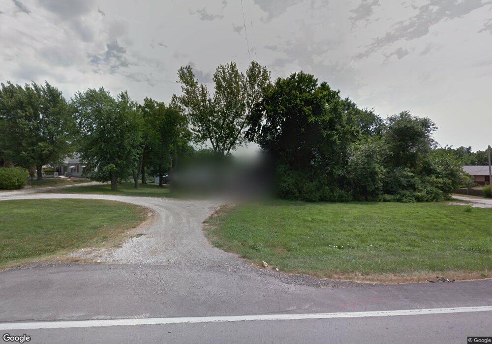
18409 E State Route 78 Independence, MO 64057
Blackburn NeighborhoodEstimated Value: $178,000 - $261,000
3
Beds
1
Bath
2,105
Sq Ft
$99/Sq Ft
Est. Value
About This Home
This home is located at 18409 E State Route 78, Independence, MO 64057 and is currently estimated at $209,337, approximately $99 per square foot. 18409 E State Route 78 is a home located in Jackson County with nearby schools including LITTLE BLUE ELEM., Bridger Middle School, and Pioneer Ridge Middle School.
Ownership History
Date
Name
Owned For
Owner Type
Purchase Details
Closed on
Jul 25, 2025
Sold by
Orellana Sigry Lizbeth Gomez
Bought by
Lopez Alex Yovany Tabor
Current Estimated Value
Purchase Details
Closed on
Jul 14, 2021
Sold by
Taylor Denn A and Denn A Taylor Revocable Trust
Bought by
Tabora Alex and Lopez Alex Tabora
Purchase Details
Closed on
Mar 7, 2012
Sold by
The Bank Of New York Mellon
Bought by
Dean A Taylor Revocable Trust
Purchase Details
Closed on
May 16, 2011
Sold by
Mcdonough Joe David
Bought by
The Bank Of New York Mellon and The Bank Of New York
Create a Home Valuation Report for This Property
The Home Valuation Report is an in-depth analysis detailing your home's value as well as a comparison with similar homes in the area
Home Values in the Area
Average Home Value in this Area
Purchase History
| Date | Buyer | Sale Price | Title Company |
|---|---|---|---|
| Lopez Alex Yovany Tabor | -- | None Listed On Document | |
| Tabora Alex | -- | Continental Title Co | |
| Dean A Taylor Revocable Trust | -- | First American Title | |
| The Bank Of New York Mellon | $57,150 | None Available |
Source: Public Records
Tax History
| Year | Tax Paid | Tax Assessment Tax Assessment Total Assessment is a certain percentage of the fair market value that is determined by local assessors to be the total taxable value of land and additions on the property. | Land | Improvement |
|---|---|---|---|---|
| 2025 | $1,030 | $17,102 | $7,995 | $9,107 |
| 2024 | $1,030 | $14,871 | $5,339 | $9,532 |
| 2023 | $1,007 | $14,872 | $555 | $14,317 |
| 2022 | $2,189 | $29,640 | $7,629 | $22,011 |
| 2021 | $2,188 | $29,640 | $7,629 | $22,011 |
| 2020 | $2,107 | $27,730 | $7,629 | $20,101 |
| 2019 | $2,073 | $27,730 | $7,629 | $20,101 |
| 2018 | $1,553 | $19,831 | $2,932 | $16,899 |
| 2017 | $1,553 | $19,831 | $2,932 | $16,899 |
| 2016 | $1,364 | $17,244 | $4,697 | $12,547 |
Source: Public Records
Map
Nearby Homes
- 2431 S Ponca Ave
- 18801 E 24th Terrace S
- 2509 S Powahatan Ave
- 1904 S Davis Ave
- 18008 E 25th Street Ct S
- 2600 S Cochise Ave
- 18401 E 26th Street Ct S
- 18608 E 26th Terrace S
- 5218 Indiana Ave
- 17616 E 19th Street Ct S
- 1804 S Sioux Ct
- 17813 E 26th St S
- 18013 E 26th Terrace Ct S
- 17504 E R D Mize Rd
- 2805 Castle Dr
- 18710 E Truman Rd
- 2813 Trenchard Dr
- 2829 Trenchard Dr
- 2100 James Downey Rd
- 2018 James Downey Rd
- 18409 E M 78 Hwy
- 18405 E State Route 78
- 18405 E 78 Hwy
- 18501 E State Route 78
- 18507 E State Route 78
- 18317 E M 78 Hwy
- 491 NE 221 Private Rd
- 18400 E State Route 78
- 18317 E State Route 78
- 18610 E State Route 78
- 18305 E State Rt 78th
- 18305 Missouri 78
- 18601 E 20 Ct
- 18801 E State Route 78
- 18605 E 20 Ct
- 18521 E 20 Ct
- 18609 E 20 Ct
- 18521 E 20th Street Ct S
- 18613 E 20 Ct
- 18517 E 20 Ct
Your Personal Tour Guide
Ask me questions while you tour the home.