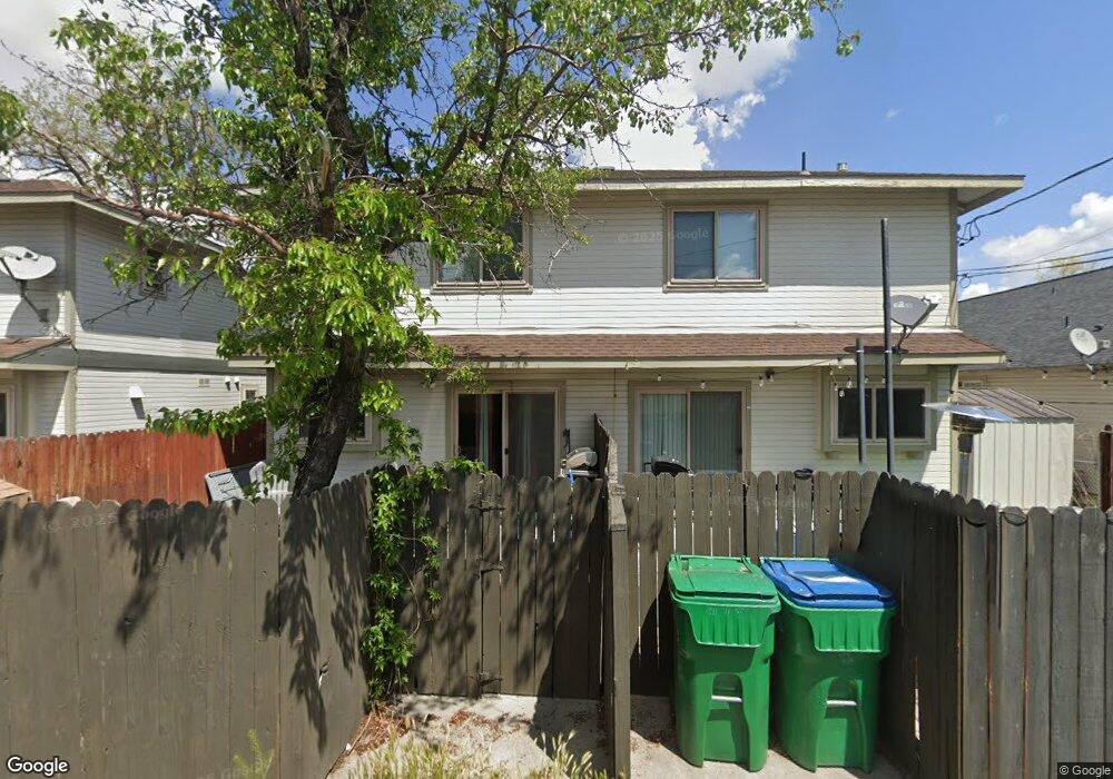
1841 H St Sparks, NV 89431
Downtown Sparks NeighborhoodEstimated Value: $497,759 - $584,000
4
Beds
5
Baths
2,192
Sq Ft
$248/Sq Ft
Est. Value
About This Home
This home is located at 1841 H St, Sparks, NV 89431 and is currently estimated at $544,190, approximately $248 per square foot. 1841 H St is a home located in Washoe County with nearby schools including Kate M Smith Elementary School, Sparks Middle School, and Sparks High School.
Ownership History
Date
Name
Owned For
Owner Type
Purchase Details
Closed on
May 20, 2021
Sold by
Goforth John F and Goforth Karen
Bought by
Goforth John F and Goforth Karen
Current Estimated Value
Purchase Details
Closed on
Jun 1, 2000
Sold by
Rath Lorraine S
Bought by
Goforth John F and Goforth Karen
Home Financials for this Owner
Home Financials are based on the most recent Mortgage that was taken out on this home.
Original Mortgage
$114,500
Outstanding Balance
$41,257
Interest Rate
8.53%
Estimated Equity
$502,933
Create a Home Valuation Report for This Property
The Home Valuation Report is an in-depth analysis detailing your home's value as well as a comparison with similar homes in the area
Home Values in the Area
Average Home Value in this Area
Purchase History
| Date | Buyer | Sale Price | Title Company |
|---|---|---|---|
| Goforth John F | -- | None Available | |
| Goforth John F | $162,000 | Western Title Inc |
Source: Public Records
Mortgage History
| Date | Status | Borrower | Loan Amount |
|---|---|---|---|
| Open | Goforth John F | $114,500 |
Source: Public Records
Tax History Compared to Growth
Tax History
| Year | Tax Paid | Tax Assessment Tax Assessment Total Assessment is a certain percentage of the fair market value that is determined by local assessors to be the total taxable value of land and additions on the property. | Land | Improvement |
|---|---|---|---|---|
| 2025 | $2,403 | $92,619 | $39,634 | $52,985 |
| 2024 | $2,403 | $90,436 | $36,775 | $53,661 |
| 2023 | $2,334 | $84,874 | $37,340 | $47,534 |
| 2022 | $2,269 | $74,089 | $32,865 | $41,224 |
| 2021 | $2,213 | $66,798 | $25,375 | $41,423 |
| 2020 | $2,078 | $68,146 | $26,250 | $41,896 |
| 2019 | $1,984 | $63,532 | $22,470 | $41,062 |
| 2018 | $1,893 | $55,363 | $15,190 | $40,173 |
| 2017 | $1,821 | $53,995 | $14,000 | $39,995 |
| 2016 | $1,787 | $52,370 | $11,200 | $41,170 |
| 2015 | $1,769 | $50,136 | $8,050 | $42,086 |
| 2014 | $1,719 | $46,956 | $7,000 | $39,956 |
| 2013 | -- | $45,437 | $6,160 | $39,277 |
Source: Public Records
Map
Nearby Homes