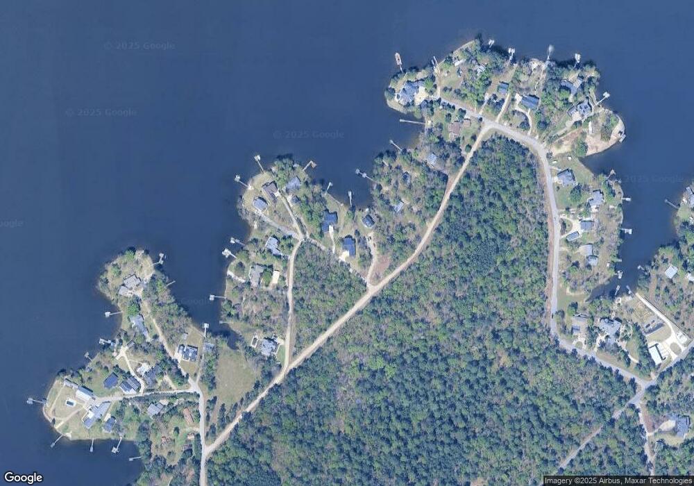
1841 John Cir Gilbert, SC 29054
Estimated Value: $1,018,000 - $1,259,907
3
Beds
4
Baths
2,384
Sq Ft
$463/Sq Ft
Est. Value
About This Home
This home is located at 1841 John Cir, Gilbert, SC 29054 and is currently estimated at $1,104,636, approximately $463 per square foot. 1841 John Cir is a home with nearby schools including Centerville Elementary School, Gilbert Primary School, and Gilbert Middle School.
Ownership History
Date
Name
Owned For
Owner Type
Purchase Details
Closed on
Jul 12, 2021
Sold by
Dennis Duane C and Dennis Janet F
Bought by
Fultz Shelia F
Current Estimated Value
Purchase Details
Closed on
Mar 12, 2021
Sold by
Owen Mary Elizabeth Kennedy and Owen Johnny Marion
Bought by
Dennis Duane C and Dennis Jane F
Purchase Details
Closed on
Aug 31, 2020
Sold by
Marion Owen Jr Johnny
Bought by
Owen Mary Elizabeth Ke and Owen Johnny Marion
Purchase Details
Closed on
Feb 15, 2006
Sold by
Beechwood Developers Llc
Bought by
Owen Johnny Marion and Owen Marybeth Kennedy
Create a Home Valuation Report for This Property
The Home Valuation Report is an in-depth analysis detailing your home's value as well as a comparison with similar homes in the area
Home Values in the Area
Average Home Value in this Area
Purchase History
| Date | Buyer | Sale Price | Title Company |
|---|---|---|---|
| Fultz Shelia F | $100,000 | None Available | |
| Dennis Duane C | $435,000 | None Available | |
| Owen Mary Elizabeth Ke | -- | None Listed On Document | |
| Owen Johnny Marion | $75,000 | None Available |
Source: Public Records
Tax History Compared to Growth
Tax History
| Year | Tax Paid | Tax Assessment Tax Assessment Total Assessment is a certain percentage of the fair market value that is determined by local assessors to be the total taxable value of land and additions on the property. | Land | Improvement |
|---|---|---|---|---|
| 2024 | $5,186 | $31,808 | $12,000 | $19,808 |
| 2023 | $4,750 | $6,128 | $6,000 | $128 |
| 2022 | $4,382 | $9,192 | $9,000 | $192 |
| 2020 | $278 | $10,448 | $10,200 | $248 |
| 2019 | $295 | $9,178 | $8,945 | $233 |
| 2018 | $1,401 | $9,178 | $8,945 | $233 |
| 2017 | $1,359 | $9,178 | $8,945 | $233 |
| 2016 | $1,346 | $9,177 | $8,945 | $232 |
| 2014 | $1,119 | $7,980 | $7,820 | $160 |
| 2013 | -- | $7,980 | $7,820 | $160 |
Source: Public Records
Map
Nearby Homes
- 1464 Bombing Range Rd
- 1459 Bombing Range Rd
- 1457 Bombing Range Rd
- 1633 Barracks Dr
- 2110 Shull Ave
- 1305 Rock Island Rd
- 1233 Shull Island Rd
- 1223 Shull Island Rd
- 113 Shull Fork Ct
- 1148 Shull Island Rd
- 318 Lands End Dr
- 218 Lake Vista Dr
- 157 Collins Cove Dr
- 115 Pointe Overlook Dr
- 102 Royal Ct
- 120 Magnolia Key Dr
- 217 Timberlake Dr
- 404 Jasmine Key Ln
- 506 Timberlake Dr
- 0 Misty Cir Unit 566318
- 1841A John Cir
- 1843 John Cir
- 3 Williams Dr
- 1823 John Cir
- 1835 John Cir
- 1829 John Cir
- 1923 Williams Dr
- 1817 John Cir
- 1831 John Cir
- 1927 Williams Dr
- 1805 John Cir
- 1811 John Cir
- 180 Lillian St
- 1814 Taylor Dr
- 1818 Taylor Dr
- 0 Lillian St Unit 225573
- 1834 Taylor Dr
- 170 Lillian St
- 168 Lillian St
- 1825 Taylor Dr
