1841 Lumpkin Branch Rd Mountain City, TN 37683
Estimated Value: $474,000 - $958,000
--
Bed
3
Baths
2,710
Sq Ft
$264/Sq Ft
Est. Value
About This Home
This home is located at 1841 Lumpkin Branch Rd, Mountain City, TN 37683 and is currently estimated at $716,000, approximately $264 per square foot. 1841 Lumpkin Branch Rd is a home located in Johnson County with nearby schools including Johnson County Middle School and Johnson County High School.
Ownership History
Date
Name
Owned For
Owner Type
Purchase Details
Closed on
Jul 31, 2017
Sold by
Leonard Eva Jean
Bought by
Werner Jane A and Carrin John P
Current Estimated Value
Purchase Details
Closed on
Jul 13, 2009
Sold by
Sams John D
Bought by
Carrin John P
Purchase Details
Closed on
May 17, 2002
Bought by
Sams John D and Sams Roselyn R
Purchase Details
Closed on
Sep 28, 1988
Bought by
Hawkins Dayton
Purchase Details
Closed on
Aug 4, 1988
Bought by
Hawkins Dayton
Purchase Details
Closed on
Apr 3, 1972
Bought by
Hawkins Wiley and Hawkins Vada L
Purchase Details
Closed on
Apr 1, 1966
Bought by
Hawkins Wiley and Hawkins Vada L
Purchase Details
Closed on
Jul 1, 1942
Bought by
Hawkins Wiley and Hawkins Vada L
Create a Home Valuation Report for This Property
The Home Valuation Report is an in-depth analysis detailing your home's value as well as a comparison with similar homes in the area
Home Values in the Area
Average Home Value in this Area
Purchase History
| Date | Buyer | Sale Price | Title Company |
|---|---|---|---|
| Werner Jane A | $111,000 | None Available | |
| Carrin John P | $475,000 | -- | |
| Sams John D | $87,500 | -- | |
| Hawkins Dayton | -- | -- | |
| Hawkins Dayton | -- | -- | |
| Hawkins Wiley | -- | -- | |
| Hawkins Wiley | -- | -- | |
| Hawkins Wiley | -- | -- |
Source: Public Records
Tax History Compared to Growth
Tax History
| Year | Tax Paid | Tax Assessment Tax Assessment Total Assessment is a certain percentage of the fair market value that is determined by local assessors to be the total taxable value of land and additions on the property. | Land | Improvement |
|---|---|---|---|---|
| 2024 | $2,485 | $112,450 | $17,950 | $94,500 |
| 2023 | $2,427 | $109,825 | $17,950 | $91,875 |
| 2022 | $1,988 | $109,825 | $17,950 | $91,875 |
| 2021 | $1,988 | $109,825 | $17,950 | $91,875 |
| 2020 | $2,047 | $109,825 | $17,950 | $91,875 |
| 2019 | $2,047 | $99,850 | $16,975 | $82,875 |
| 2018 | $2,047 | $99,850 | $16,975 | $82,875 |
| 2017 | $2,047 | $99,850 | $16,975 | $82,875 |
| 2016 | $2,047 | $99,850 | $16,975 | $82,875 |
| 2015 | $1,807 | $99,850 | $16,975 | $82,875 |
| 2014 | $1,857 | $102,575 | $16,450 | $86,125 |
Source: Public Records
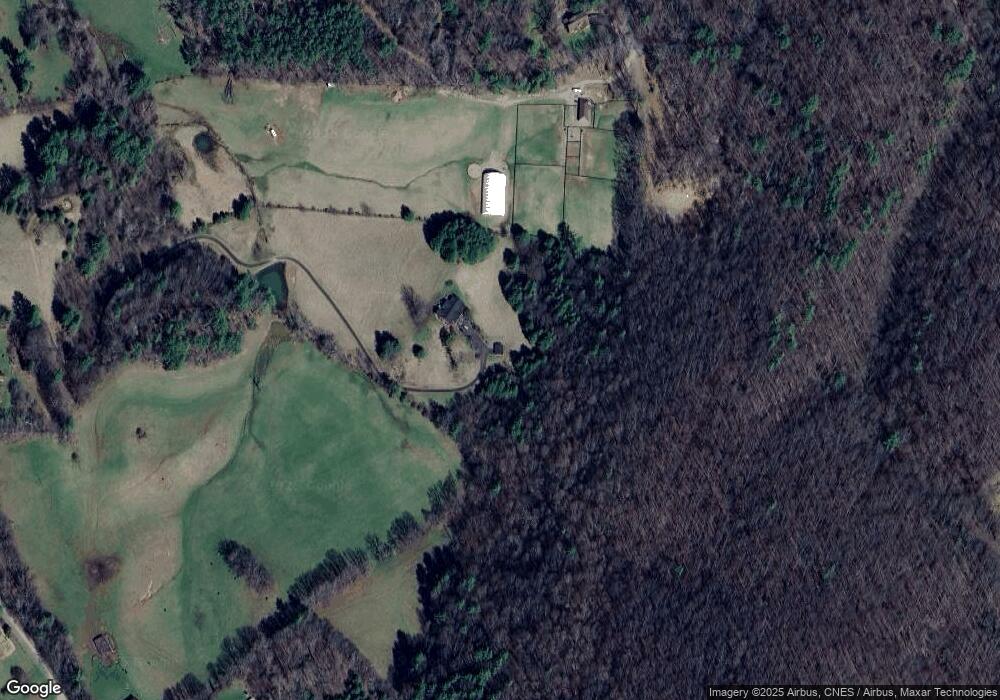
Map
Nearby Homes
- 1945 Sage Valley Cir
- Tbd Lumpkin Branch Rd
- 2305 Lumpkin Branch Rd
- 372 Jackson Ln
- 539/Ac Tbd Off Hwy 421
- 207/Ac Tbd Highway 421
- Tbd S Highway 421 Unit LotWP001
- 196 Hiddenwood Dr
- 0 Hidden Dr Unit 9984742
- Tbd Sandy Rd
- 2558 S Shady St
- 2431 S Shady St
- 671 Antioch Rd
- 100 Gate Hollow Rd
- 269 Mining Ridge Rd
- 6020 Forge Creek Rd
- 873 Rainbow Rd
- Tbd Crackers Neck Rd
- 6741 U S 421
- 542 Rainbow Rd
- 1623 Sage Valley Cir
- 1739 Sage Valley Cir
- 24 Thistlewood Trail
- 28 Thistlewood Trail
- 1743 Roan Valley Dr
- 1743 Sage Valley Cir
- 649 Thistlewood Trail
- 1829 Lumpkin Branch Rd
- 1829 Lumpkin Branch Rd
- 1472 Sage Valley Cir
- LOT 18 Thistlewood Trail
- Lot 17 Thistlewood Trail
- Lot 7 Thistlewood Trail
- Lot 20 Thistlewood Trail
- Lot 3 Thistlewood Trail
- Lot 12 Thistlewood Trail
- 0 Thistlewood Trail
- Lot 34 Thistlewood Trail
- TBD Thistlewood Trail
- 00 Thistlewood Trail