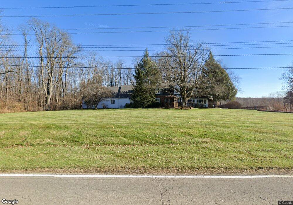
1841 S Main St Mansfield, OH 44907
Estimated Value: $348,000 - $527,000
3
Beds
3
Baths
3,904
Sq Ft
$109/Sq Ft
Est. Value
About This Home
This home is located at 1841 S Main St, Mansfield, OH 44907 and is currently estimated at $424,449, approximately $108 per square foot. 1841 S Main St is a home located in Richland County with nearby schools including Madison High School, Mansfield Christian School, and St. Peter's Elementary/Montessori School.
Ownership History
Date
Name
Owned For
Owner Type
Purchase Details
Closed on
Mar 7, 2000
Sold by
Young Charles E
Bought by
Stambaugh Larry E and Stambaugh Michele L
Current Estimated Value
Home Financials for this Owner
Home Financials are based on the most recent Mortgage that was taken out on this home.
Original Mortgage
$122,000
Outstanding Balance
$41,288
Interest Rate
8.27%
Mortgage Type
New Conventional
Estimated Equity
$383,161
Create a Home Valuation Report for This Property
The Home Valuation Report is an in-depth analysis detailing your home's value as well as a comparison with similar homes in the area
Home Values in the Area
Average Home Value in this Area
Purchase History
| Date | Buyer | Sale Price | Title Company |
|---|---|---|---|
| Stambaugh Larry E | $184,900 | -- |
Source: Public Records
Mortgage History
| Date | Status | Borrower | Loan Amount |
|---|---|---|---|
| Open | Stambaugh Larry E | $122,000 |
Source: Public Records
Tax History Compared to Growth
Tax History
| Year | Tax Paid | Tax Assessment Tax Assessment Total Assessment is a certain percentage of the fair market value that is determined by local assessors to be the total taxable value of land and additions on the property. | Land | Improvement |
|---|---|---|---|---|
| 2024 | $4,769 | $118,350 | $17,440 | $100,910 |
| 2023 | $4,769 | $118,350 | $17,440 | $100,910 |
| 2022 | $3,784 | $85,600 | $14,980 | $70,620 |
| 2021 | $3,837 | $85,600 | $14,980 | $70,620 |
| 2020 | $3,617 | $85,600 | $14,980 | $70,620 |
| 2019 | $3,297 | $71,740 | $12,550 | $59,190 |
| 2018 | $3,267 | $71,740 | $12,550 | $59,190 |
| 2017 | $3,203 | $71,740 | $12,550 | $59,190 |
| 2016 | $2,797 | $62,230 | $10,690 | $51,540 |
| 2015 | $2,641 | $62,230 | $10,690 | $51,540 |
| 2014 | $2,631 | $62,230 | $10,690 | $51,540 |
| 2012 | $1,344 | $64,150 | $11,010 | $53,140 |
Source: Public Records
Map
Nearby Homes
- 1680 S Main St
- 0 Yoha Dr
- 1599 S Main St
- 129 Elderberry Dr
- 1687 Nantucket Dr
- 65 Logan Rd
- 450 Marwood Dr
- 0 Woodville Rd Unit Lot 14952, 14953
- 0 Woodville Rd Unit Lot 14954, 14955
- 0 Woodville Rd Unit Lot 14956, 14957,
- 2123 Random Dr
- 601 Karlson Dr
- 615 Bailey Dr
- 623 Bailey Dr
- 570 Bennington Dr
- 1740 Emerson Dr
- 104 Elmridge Rd
- 1689 Middle Bellville Rd
- 1179 Burkwood Rd
- 1702 Middle Bellville Rd
- 1863 S Main St
- 1838 S Main St
- 1869 S Main St
- 1793 S Main St
- 1818 S Main St
- 1873 S Main St
- 1779 S Main St
- 1778 S Main St
- 62 Straub Rd E
- 75 Straub Rd W
- 88E Straub Rd E
- 80 Straub Rd E
- 83 Straub Rd W
- 1747 S Main St
- 1938 S Main St
- 88 Straub Rd E
- 1949 S Main St
- 60 Straub Rd W
- 60 Straub Rd W
- 96 Straub Rd E