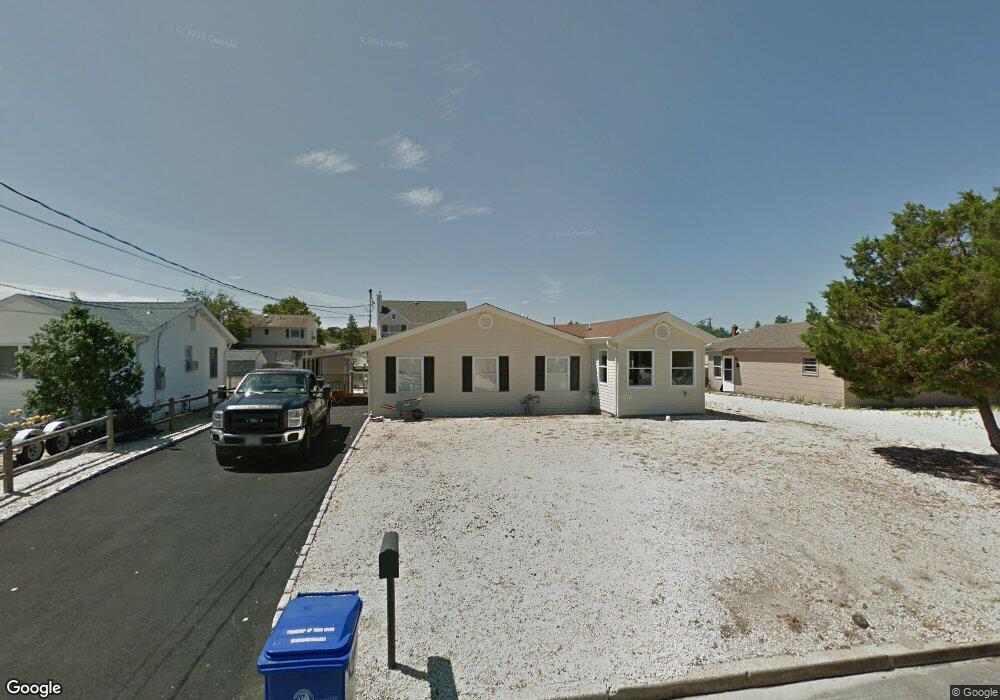
1841 Starboard Ct Toms River, NJ 08753
Estimated Value: $734,884 - $778,000
4
Beds
2
Baths
1,600
Sq Ft
$469/Sq Ft
Est. Value
About This Home
This home is located at 1841 Starboard Ct, Toms River, NJ 08753 and is currently estimated at $750,471, approximately $469 per square foot. 1841 Starboard Ct is a home located in Ocean County.
Ownership History
Date
Name
Owned For
Owner Type
Purchase Details
Closed on
Nov 22, 2011
Sold by
Michels Ronald and Michels Marilyn
Bought by
Peterson David and Peterson Stacie
Current Estimated Value
Home Financials for this Owner
Home Financials are based on the most recent Mortgage that was taken out on this home.
Original Mortgage
$275,000
Interest Rate
4%
Mortgage Type
Seller Take Back
Purchase Details
Closed on
Jul 6, 1999
Sold by
Manochio Joseph A and Manochio Donna
Bought by
Michels Ronald and Michels Marilyn
Create a Home Valuation Report for This Property
The Home Valuation Report is an in-depth analysis detailing your home's value as well as a comparison with similar homes in the area
Home Values in the Area
Average Home Value in this Area
Purchase History
| Date | Buyer | Sale Price | Title Company |
|---|---|---|---|
| Peterson David | $300,000 | Colonial Itle & Abstract Ser | |
| Michels Ronald | $129,000 | First American Title Ins Co |
Source: Public Records
Mortgage History
| Date | Status | Borrower | Loan Amount |
|---|---|---|---|
| Closed | Peterson David | $275,000 |
Source: Public Records
Tax History Compared to Growth
Tax History
| Year | Tax Paid | Tax Assessment Tax Assessment Total Assessment is a certain percentage of the fair market value that is determined by local assessors to be the total taxable value of land and additions on the property. | Land | Improvement |
|---|---|---|---|---|
| 2025 | $8,189 | $449,700 | $275,000 | $174,700 |
| 2024 | $7,784 | $449,700 | $275,000 | $174,700 |
| 2023 | $7,505 | $449,700 | $275,000 | $174,700 |
| 2022 | $7,505 | $449,700 | $275,000 | $174,700 |
| 2021 | $7,588 | $302,900 | $197,500 | $105,400 |
| 2020 | $7,554 | $302,900 | $197,500 | $105,400 |
| 2019 | $7,220 | $302,600 | $197,500 | $105,100 |
| 2018 | $7,123 | $302,600 | $197,500 | $105,100 |
| 2017 | $7,063 | $302,600 | $197,500 | $105,100 |
| 2016 | $6,733 | $296,200 | $197,500 | $98,700 |
| 2015 | $6,478 | $296,200 | $197,500 | $98,700 |
| 2014 | $6,167 | $296,200 | $197,500 | $98,700 |
Source: Public Records
Map
Nearby Homes
- 1836 Ensign Ct
- 1850 Ensign Ct
- 1939 Ship Ct
- 8 Pumpshire Rd
- 1145 Kenton Dr
- 1916 Waters Edge Dr Unit 16
- 890 Fairview Dr
- 2517 Waters Edge Dr Unit 17
- 1813 Waters Edge Dr
- 1019 Waters Edge Dr
- 141 Yellowbank Rd
- 1083 Crystal Dr
- 169 S Shore Dr
- 1214 Waters Edge Dr Unit 14
- 5 Dublin Ct
- 230 Christoffer Terrace
- 1035 Tralee Dr
- 2 Cedar Tree Ln
- 173 Bay Stream Dr
- 193 Bay Stream Dr
- 1845 Starboard Ct
- 1837 Starboard Ct
- 1833 Starboard Ct
- 1849 Starboard Ct
- 1842 Starboard Ct
- 1846 Starboard Ct
- 1838 Starboard Ct
- 1829 Starboard Ct
- 1853 Starboard Ct
- 1850 Starboard Ct
- 1842 Windward Ct
- 1834 Starboard Ct
- 1838 Windward Ct
- 1846 Windward Ct
- 1834 Windward Ct
- 1850 Windward Ct
- 1854 Starboard Ct
- 1830 Starboard Ct
- 1825 Starboard Ct
- 1857 Starboard Ct