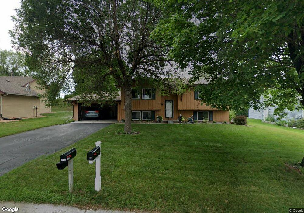
1841 Walnut Ln Saint Paul, MN 55122
Estimated Value: $399,000 - $422,000
3
Beds
2
Baths
1,028
Sq Ft
$395/Sq Ft
Est. Value
About This Home
This home is located at 1841 Walnut Ln, Saint Paul, MN 55122 and is currently estimated at $406,304, approximately $395 per square foot. 1841 Walnut Ln is a home located in Dakota County with nearby schools including Oak Ridge Elementary School, Black Hawk Middle School, and Eastview Senior High School.
Ownership History
Date
Name
Owned For
Owner Type
Purchase Details
Closed on
Jun 30, 2008
Sold by
Duvick David L and Duvick Roxanne J
Bought by
Phan Kiet and Nguyen Ngoe Tam Thi
Current Estimated Value
Home Financials for this Owner
Home Financials are based on the most recent Mortgage that was taken out on this home.
Original Mortgage
$189,550
Outstanding Balance
$122,470
Interest Rate
6.1%
Mortgage Type
New Conventional
Estimated Equity
$283,834
Create a Home Valuation Report for This Property
The Home Valuation Report is an in-depth analysis detailing your home's value as well as a comparison with similar homes in the area
Home Values in the Area
Average Home Value in this Area
Purchase History
| Date | Buyer | Sale Price | Title Company |
|---|---|---|---|
| Phan Kiet | $223,000 | -- |
Source: Public Records
Mortgage History
| Date | Status | Borrower | Loan Amount |
|---|---|---|---|
| Open | Phan Kiet | $189,550 |
Source: Public Records
Tax History
| Year | Tax Paid | Tax Assessment Tax Assessment Total Assessment is a certain percentage of the fair market value that is determined by local assessors to be the total taxable value of land and additions on the property. | Land | Improvement |
|---|---|---|---|---|
| 2024 | $3,898 | $353,600 | $90,600 | $263,000 |
| 2023 | $3,898 | $362,200 | $90,900 | $271,300 |
| 2022 | $3,170 | $341,200 | $90,600 | $250,600 |
| 2021 | $3,042 | $290,000 | $78,700 | $211,300 |
| 2020 | $2,904 | $273,000 | $75,000 | $198,000 |
| 2019 | $2,567 | $255,200 | $71,400 | $183,800 |
| 2018 | $2,591 | $240,100 | $68,000 | $172,100 |
| 2017 | $2,484 | $235,100 | $64,800 | $170,300 |
| 2016 | $2,284 | $217,100 | $61,700 | $155,400 |
| 2015 | $2,207 | $181,087 | $55,782 | $125,305 |
| 2014 | -- | $178,035 | $54,087 | $123,948 |
| 2013 | -- | $164,301 | $48,428 | $115,873 |
Source: Public Records
Map
Nearby Homes
- 4465 Clover Ln
- 4418 Clover Ln Unit B
- 4290 Fox Ridge Rd
- 4626 Lenore Ln
- 1703 Nokia Way
- 4361 Bear Path Trail
- 4745 Narvik Dr
- 1955 Timber Wolf Trail S
- 1978 Timber Wolf Trail S
- 1631 Summit Hill
- 1715 Talon Trail
- 1612 Summit Hill
- 1602 Mallard View
- 2115 Cliffview Dr
- 4125 Ruby Ln
- 2002 Diffley Rd
- 4614 Beacon Hill Rd
- 4143 Meadowlark Point
- 2048 Kings Rd
- 1754 Meadowlark Rd Unit 41754
- 1839 Walnut Ln
- 1843 Walnut Ln
- 4497 Clover Ln Unit B
- 4497 Clover Ln Unit A
- 4495 Clover Ln Unit A
- 4495 Clover Ln Unit B
- 1840 Walnut Ln
- 1838 Walnut Ln
- 1844 Walnut Ln
- 1835 Walnut Ln
- 4491 Clover Ln Unit B
- 4491 Clover Ln Unit A
- 4489 Clover Ln Unit A
- 4489 Clover Ln Unit B
- 1836 Walnut Ln
- 4492 Clover Ln Unit A
- 4492 Clover Ln Unit B
- 4492 Clover Ln
- 4490 Clover Ln Unit B
- 4490 Clover Ln Unit A
Your Personal Tour Guide
Ask me questions while you tour the home.