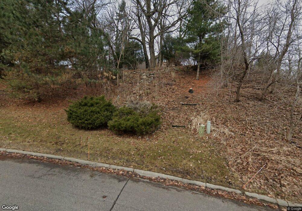
18410 Highpath Ln Minnetonka, MN 55345
Sparrow NeighborhoodEstimated Value: $796,099 - $921,000
3
Beds
4
Baths
3,453
Sq Ft
$253/Sq Ft
Est. Value
About This Home
This home is located at 18410 Highpath Ln, Minnetonka, MN 55345 and is currently estimated at $874,775, approximately $253 per square foot. 18410 Highpath Ln is a home located in Hennepin County with nearby schools including Deephaven Elementary School, Minnetonka East Middle School, and Minnetonka Senior High School.
Ownership History
Date
Name
Owned For
Owner Type
Purchase Details
Closed on
Aug 27, 2010
Sold by
Ewald William D and Ewald Roxanne C
Bought by
Gougebas John T and Gougebas Ann F
Current Estimated Value
Purchase Details
Closed on
Aug 21, 2003
Sold by
Klinkerfues Nancy and Klinkerfues Scott
Bought by
Ewald William and Ewald Roxanne
Purchase Details
Closed on
Aug 31, 2000
Sold by
Schwartzman Gary L and Schwartzman Miller Heidi B
Bought by
Klinkerfues Scott E and Klinkerfues Nancy C
Purchase Details
Closed on
May 3, 1999
Sold by
Gibson Janet R and Gibson Richard W
Bought by
Schwartzman Gary L
Create a Home Valuation Report for This Property
The Home Valuation Report is an in-depth analysis detailing your home's value as well as a comparison with similar homes in the area
Home Values in the Area
Average Home Value in this Area
Purchase History
| Date | Buyer | Sale Price | Title Company |
|---|---|---|---|
| Gougebas John T | $468,000 | -- | |
| Ewald William | $54,900 | -- | |
| Klinkerfues Scott E | $313,500 | -- | |
| Schwartzman Gary L | $325,000 | -- |
Source: Public Records
Tax History
| Year | Tax Paid | Tax Assessment Tax Assessment Total Assessment is a certain percentage of the fair market value that is determined by local assessors to be the total taxable value of land and additions on the property. | Land | Improvement |
|---|---|---|---|---|
| 2024 | $9,842 | $705,600 | $213,400 | $492,200 |
| 2023 | $9,263 | $701,800 | $213,400 | $488,400 |
| 2022 | $8,681 | $693,000 | $213,400 | $479,600 |
| 2021 | $8,481 | $608,700 | $194,000 | $414,700 |
| 2020 | $8,957 | $598,100 | $194,000 | $404,100 |
| 2019 | $8,722 | $604,000 | $194,000 | $410,000 |
| 2018 | $7,908 | $588,100 | $194,000 | $394,100 |
| 2017 | $7,824 | $529,300 | $183,700 | $345,600 |
| 2016 | $7,582 | $514,000 | $169,900 | $344,100 |
| 2015 | $7,752 | $520,700 | $150,000 | $370,700 |
| 2014 | -- | $475,900 | $150,000 | $325,900 |
Source: Public Records
Map
Nearby Homes
- 18213 Hermitage Way
- 5034 Sparrow Rd
- 4918 West Ln
- 18995 Maple Ln
- 4939 Bayswater Rd
- 4944 W West End Ln
- 19635 Hillside St
- 5534 Conifer Trail
- 5026 Clear Spring Dr
- 19700 Hillside St
- 5616 Mahoney Ave
- 19767 Waterford Ct
- 4553 Aspenwood Trail
- 19782 Waterford Ct
- 4285 Lindsey Ln
- 20025 Manor Rd
- 5767 Vine Hill Rd
- 4360 Chimo East St
- 16633 Temple Dr N
- 4321 Lancelot Dr
- 4920 Sparrow Rd
- 18420 Highpath Ln
- 18500 South Ln
- 18404 Beaverwood Hill
- 18430 Highpath Ln
- 18401 Highpath Ln
- 18411 Beaverwood Hill
- 18411 Beaverwood Hill
- 18508 South Ln
- 18411 Highpath Ln
- 18607 South Ln
- 18421 Highpath Ln
- 18516 South Ln
- 18431 Highpath Ln
- 18441 Highpath Ln
- 4921 Sparrow Rd
- 18507 Beaver Trail
- 5001 Sparrow Rd
- 4919 Sparrow Rd
- 4939 Sparrow Rd
Your Personal Tour Guide
Ask me questions while you tour the home.
