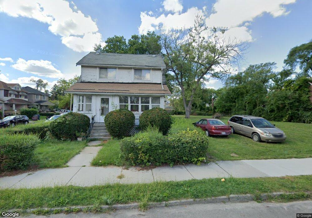
18411 Binder St Detroit, MI 48234
Conant Gardens NeighborhoodEstimated Value: $48,000 - $72,000
--
Bed
1
Bath
1,152
Sq Ft
$52/Sq Ft
Est. Value
About This Home
This home is located at 18411 Binder St, Detroit, MI 48234 and is currently estimated at $60,000, approximately $52 per square foot. 18411 Binder St is a home located in Wayne County with nearby schools including Mason Academy, Edward 'Duke' Ellington Conservatory of Music and Art, and Charles L. Spain Elementary-Middle School.
Ownership History
Date
Name
Owned For
Owner Type
Purchase Details
Closed on
Jan 23, 2014
Sold by
Wayne County Treasurer
Bought by
Detroit Landbank Authority
Current Estimated Value
Purchase Details
Closed on
Jun 18, 2012
Sold by
Hartwell Mortgage Group Llc
Bought by
Oluwara Nnaoma Franza
Purchase Details
Closed on
Jun 12, 2012
Sold by
Tradin Places Llc
Bought by
Hartwell Mortgage Group Llc
Purchase Details
Closed on
Nov 16, 2009
Sold by
Wojtowicz Raymond J
Bought by
Affordable American Homes Llc
Create a Home Valuation Report for This Property
The Home Valuation Report is an in-depth analysis detailing your home's value as well as a comparison with similar homes in the area
Home Values in the Area
Average Home Value in this Area
Purchase History
| Date | Buyer | Sale Price | Title Company |
|---|---|---|---|
| Detroit Landbank Authority | -- | None Available | |
| Oluwara Nnaoma Franza | $10,900 | None Available | |
| Hartwell Mortgage Group Llc | -- | None Available | |
| Affordable American Homes Llc | $500 | None Available |
Source: Public Records
Tax History Compared to Growth
Tax History
| Year | Tax Paid | Tax Assessment Tax Assessment Total Assessment is a certain percentage of the fair market value that is determined by local assessors to be the total taxable value of land and additions on the property. | Land | Improvement |
|---|---|---|---|---|
| 2025 | -- | $0 | $0 | $0 |
| 2024 | -- | $0 | $0 | $0 |
| 2023 | $0 | $0 | $0 | $0 |
| 2022 | -- | $0 | $0 | $0 |
| 2021 | $0 | $0 | $0 | $0 |
| 2020 | $1,151 | $0 | $0 | $0 |
| 2019 | $1,151 | $0 | $0 | $0 |
| 2018 | $0 | $0 | $0 | $0 |
| 2017 | -- | $0 | $0 | $0 |
| 2016 | $240 | $0 | $0 | $0 |
| 2015 | $930 | $0 | $0 | $0 |
| 2013 | $930 | $9,296 | $0 | $0 |
| 2010 | -- | $13,629 | $856 | $12,773 |
Source: Public Records
Map
Nearby Homes
- 18544 Wexford St
- 18515 Wexford St
- 18433 Norwood St
- 18423 Norwood St
- 18466 Revere St
- 18088 Shields St
- 18654 Klinger St
- 18660 Klinger St
- 18905 Dean St
- 18660 Charest St
- 19031 Klinger St
- 3302 Seven Mile E
- 18830 Hasse St
- 17892 Mitchell St
- 19142 Gallagher St
- 19250 Yonka St
- 19175 Eureka St
- 19155 Gallagher St
- 18865 Lamont St
- 19300 Binder St
- 18417 Binder St
- 18403 Binder St
- 18425 Binder St
- 18435 Binder St
- 18416 Binder St
- 18441 Binder St
- 18410 Wexford St
- 3946 Stockton St
- 3940 Stockton St
- 18402 Wexford St
- 3952 Stockton St
- 3932 Stockton St
- 18424 Wexford St
- 4002 Stockton St
- 3926 Stockton St
- 18445 Binder St
- 3922 Stockton St
- 18428 Binder St
- 4008 Stockton St
- 18434 Wexford St