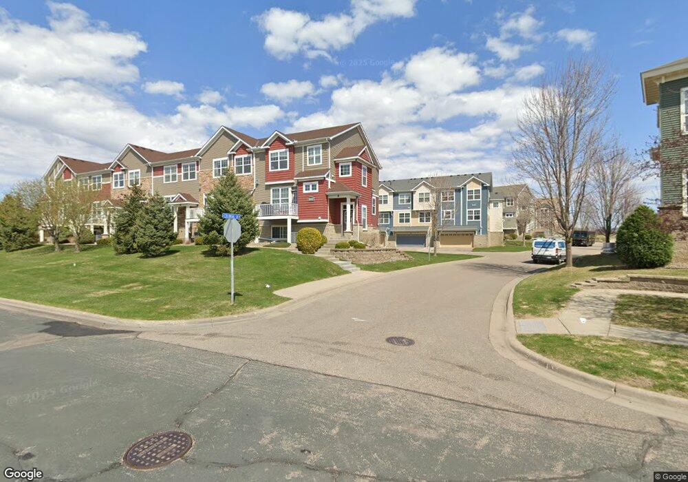
1842 Colonial Ln Chanhassen, MN 55317
Estimated Value: $344,916 - $369,000
3
Beds
2
Baths
1,606
Sq Ft
$222/Sq Ft
Est. Value
About This Home
This home is located at 1842 Colonial Ln, Chanhassen, MN 55317 and is currently estimated at $356,479, approximately $221 per square foot. 1842 Colonial Ln is a home located in Carver County with nearby schools including Bluff Creek Elementary, Chaska Middle School West, and Chanhassen High School.
Ownership History
Date
Name
Owned For
Owner Type
Purchase Details
Closed on
Sep 12, 2019
Sold by
Oprosko Andrea and Oprosko Joseph Edward
Bought by
Anderson Matthew E
Current Estimated Value
Home Financials for this Owner
Home Financials are based on the most recent Mortgage that was taken out on this home.
Original Mortgage
$198,750
Outstanding Balance
$173,730
Interest Rate
3.5%
Mortgage Type
New Conventional
Estimated Equity
$182,749
Purchase Details
Closed on
May 24, 2013
Sold by
Oprosko Andrea and Oprosko Joseph Edward
Bought by
Oprosko Andrea and Oprosko Joseph Edward
Home Financials for this Owner
Home Financials are based on the most recent Mortgage that was taken out on this home.
Original Mortgage
$178,500
Interest Rate
3.38%
Mortgage Type
New Conventional
Purchase Details
Closed on
Jul 27, 2007
Sold by
K Hovnanian Homes
Bought by
Oprosko Joseph Edward and Silverman Andrea
Create a Home Valuation Report for This Property
The Home Valuation Report is an in-depth analysis detailing your home's value as well as a comparison with similar homes in the area
Home Values in the Area
Average Home Value in this Area
Purchase History
| Date | Buyer | Sale Price | Title Company |
|---|---|---|---|
| Anderson Matthew E | $265,000 | Edina Realty Title | |
| Oprosko Andrea | -- | Watermark Title Agency | |
| Oprosko Joseph Edward | $232,590 | -- |
Source: Public Records
Mortgage History
| Date | Status | Borrower | Loan Amount |
|---|---|---|---|
| Open | Anderson Matthew E | $198,750 | |
| Previous Owner | Oprosko Andrea | $178,500 |
Source: Public Records
Tax History Compared to Growth
Tax History
| Year | Tax Paid | Tax Assessment Tax Assessment Total Assessment is a certain percentage of the fair market value that is determined by local assessors to be the total taxable value of land and additions on the property. | Land | Improvement |
|---|---|---|---|---|
| 2025 | $3,218 | $332,600 | $81,000 | $251,600 |
| 2024 | $3,158 | $323,600 | $72,000 | $251,600 |
| 2023 | $3,122 | $313,200 | $72,000 | $241,200 |
| 2022 | $3,030 | $312,400 | $69,600 | $242,800 |
| 2021 | $2,768 | $254,000 | $58,000 | $196,000 |
| 2020 | $2,886 | $257,800 | $58,000 | $199,800 |
| 2019 | $2,878 | $240,900 | $55,300 | $185,600 |
| 2018 | $2,688 | $240,900 | $55,300 | $185,600 |
| 2017 | $2,556 | $220,000 | $52,600 | $167,400 |
| 2016 | $2,654 | $191,800 | $0 | $0 |
| 2015 | $2,362 | $184,800 | $0 | $0 |
| 2014 | $2,362 | $158,700 | $0 | $0 |
Source: Public Records
Map
Nearby Homes
- 1846 Plymouth Ln Unit 205
- 1826 Colonial Ln Unit 4
- 1820 Plymouth Ln Unit 5
- 1840 Freedom Ln Unit 104
- 9534 Roosevelt Dr
- 9630 Independence Cir Unit 201
- 9525 Roosevelt Dr
- 9523 Declaration Dr
- 9580 Madison Dr Unit 4
- The Cypress Patio Plan at Pioneer Ridge - Patio Villas
- The Elm Patio Plan at Pioneer Ridge - Patio Villas
- The Jasmine Plan at Pioneer Ridge - Townhomes
- The Cedar Patio Plan at Pioneer Ridge - Patio Villas
- The Isla Plan at Pioneer Ridge - Townhomes
- 1953 Commonwealth Blvd Unit 3
- 1949 Commonwealth Blvd Unit 2
- 1705 Hemlock Way
- 1952 Commonwealth Blvd Unit 8
- 1944 Commonwealth Blvd Unit 3
- 2906 Butternut Dr
- 1842 Colonial Ln
- 1842 Colonial Ln
- 1842 Colonial Ln
- 1842 Colonial Ln
- 1842 Colonial Ln
- 1842 Colonial Ln Unit 2
- 1842 Colonial Ln Unit 1
- 1842 Colonial Ln Unit 5
- 1842 Colonial Ln Unit 4
- 1822 Colonial Ln
- 1822 Colonial Ln
- 1822 Colonial Ln
- 1822 Colonial Ln
- 1822 Colonial Ln
- 1822 Colonial Ln
- 1822 Colonial Ln Unit 6
- 1822 Colonial Ln Unit 1
- 1822 Colonial Ln Unit 2
- 1822 Colonial Ln Unit 4
- 1822 Colonial Ln Unit 5